2 Days In Death Valley Itinerary
Day 2: Racetrack Playa or Titus Canyon Road and Around
The last day on this two days in Death Valley itinerary calls for some adventure. This day involves a road trip that you’ll never forget blended with some sightseeing and perhaps even a hike.
The most “time-consuming” highlight of this day is the road trip to either Titus Canyon or Racetrack Playa. If you have a four-wheel-drive vehicle, I recommend heading to the Racetrack (see option 2) but if you have a high-clearance all-wheel-drive vehicle, Titus Canyon is your safe bet (option 1).
Option 1: Titus Canyon Road
This scenic 27-mile (43 km) drive is a beautiful escape to a remote section of the national park that isn’t too far removed from civilization. Titus Canyon Road is not paved but it is suitable for high-clearance all-wheel-drive vehicles, though I did see one driver with a sturdy sedan.
Optional Visit to Rhyolite
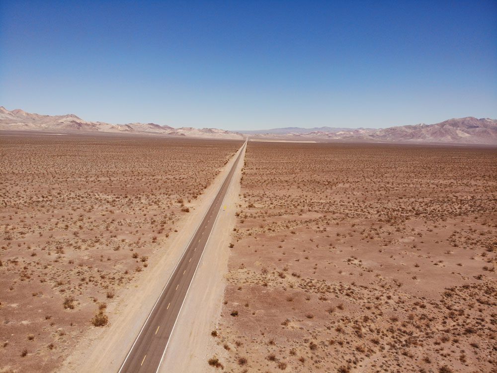
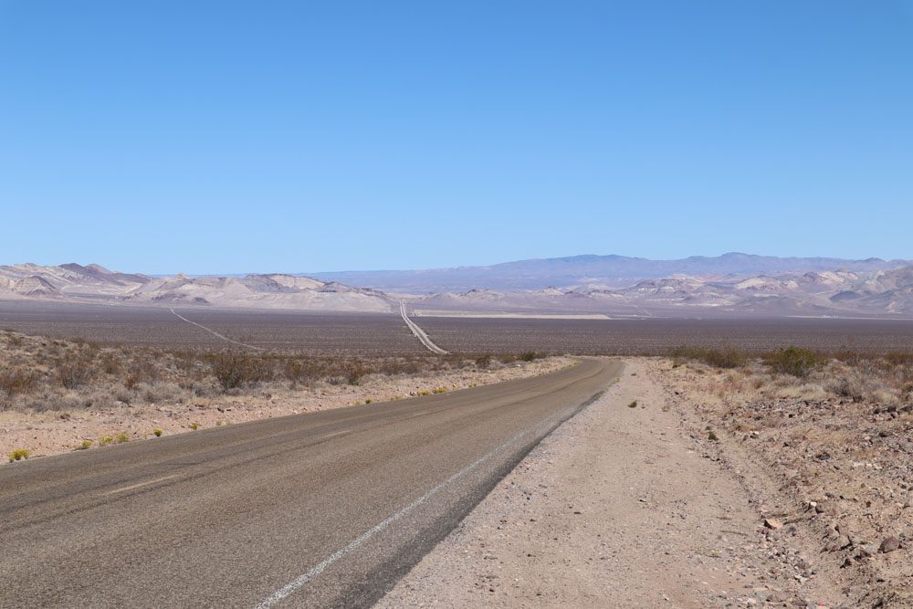
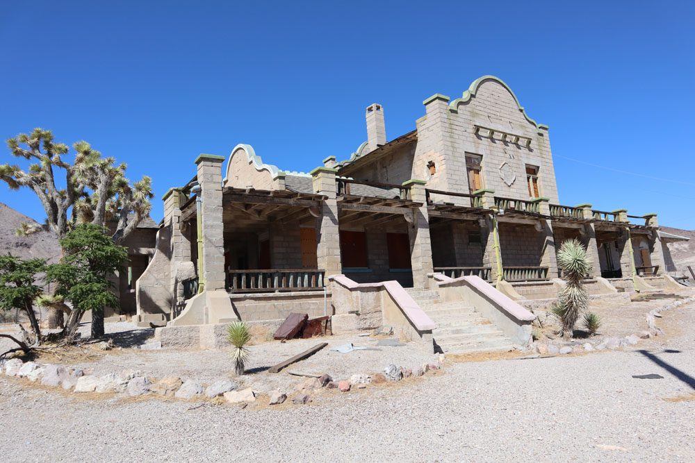
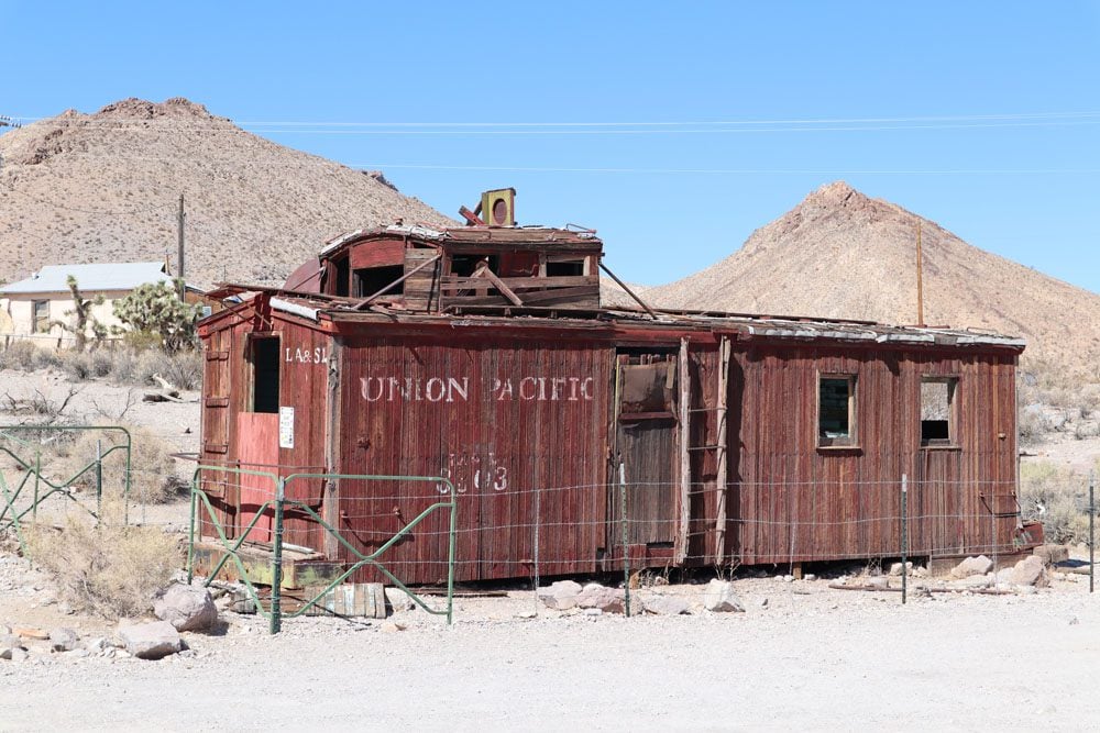
This ghost town is just beyond the one-way entrance to Titus Canyon Road so you might as well pay it a quick visit. The drive to Rhyolite from the Furnace Creek area is a beautiful way to start the day. It first slices through a mountain pass and then continues on a seemingly endless stretch of flat road that is as straight as an arrow. The former mining town, which at its peak was home to nearly 5,000 residents, has just a few remaining structures in various states of decay.
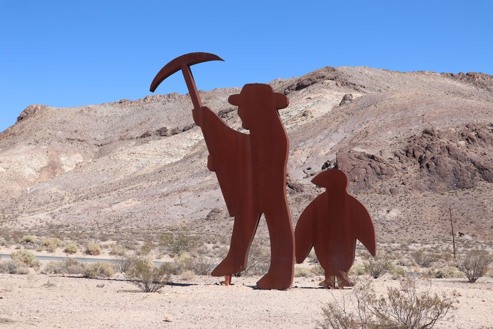
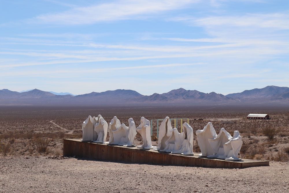
If you’ve made it to Rhyolite, you might as well pay a visit to the Goldwell Open Air Museum. This sculpture garden is just a five-minute drive from the ghost town.
Titus Canyon Road
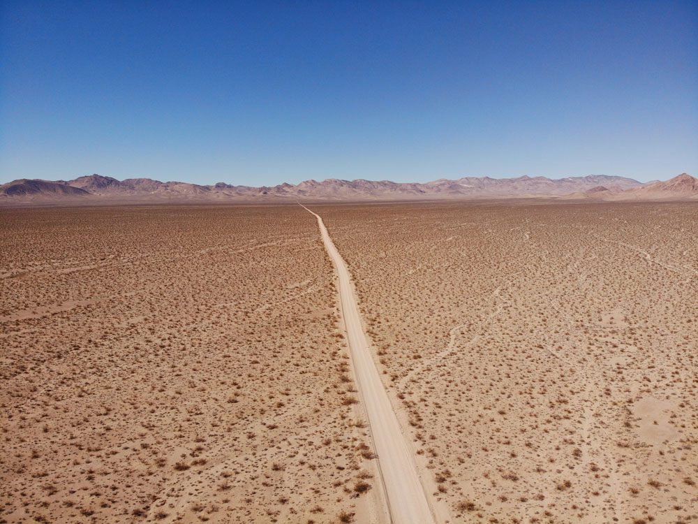
Pick up the one-way entrance to Titus Canyon Road as you head back from Rhyolite in the direction of Furnace Creek. The dirt road is flat for about six miles before entering the canyon, at which point it begins to gain elevation via a long series of sharp turns.
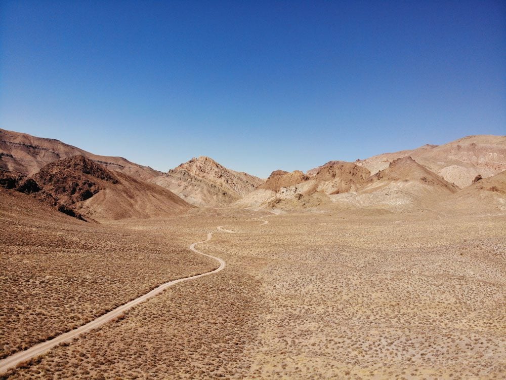
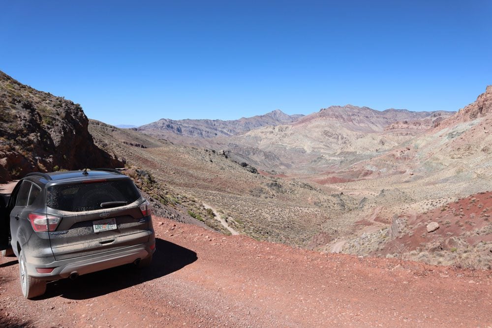
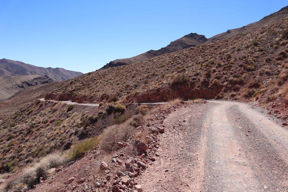
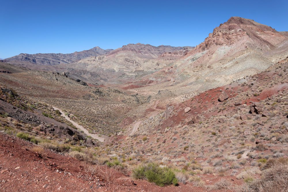
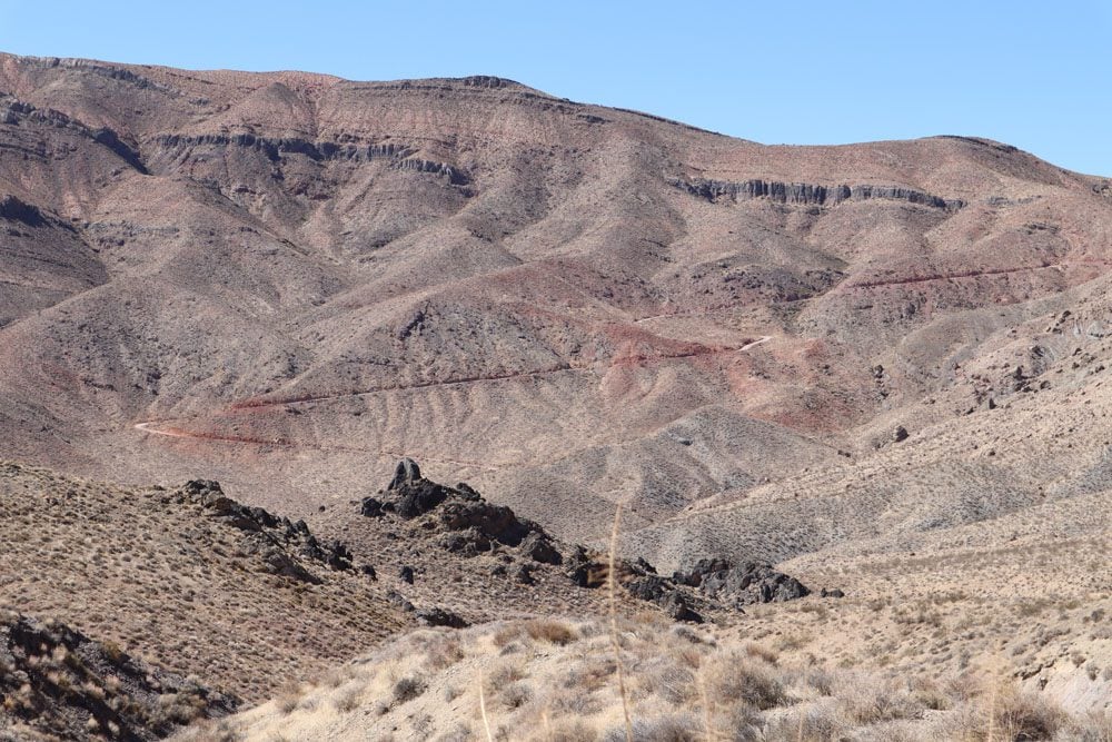
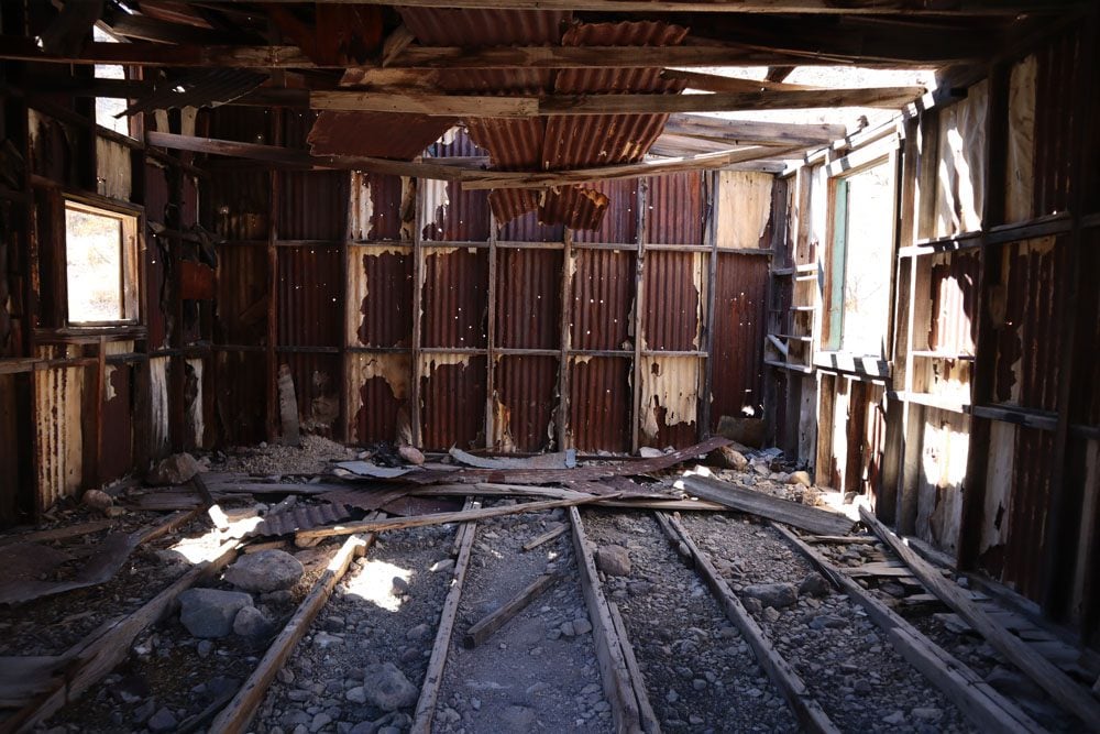
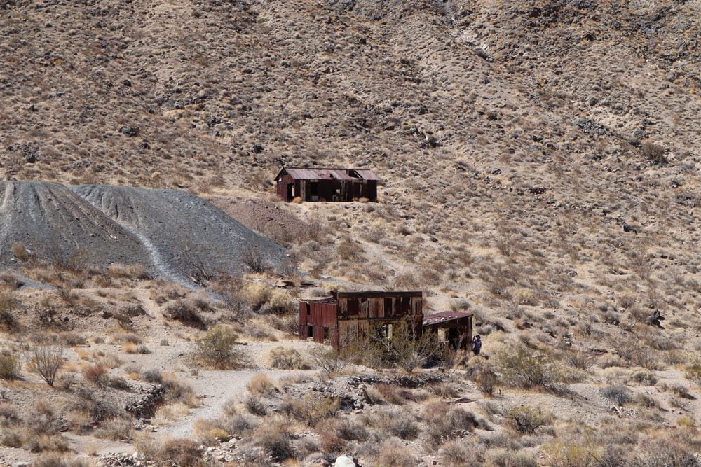
About halfway through the drive, you’ll reach Leadfield, an abandoned mining town that boomed in 1926 and busted just a year later. About 300 people lived in Leadfield and it even had its own post office. Park your car and take your time to explore the area. Imagine what life was like here during the town’s short heyday.
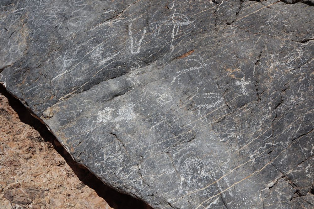
At Titus Canyon, the road narrows and follows the contours of this dry riverbed. At the mouth of the canyon, look for signs marking the Native American petroglyphs. While the exact meaning or purpose of these petroglyphs is unknown, several images are recognizable, including sheep, the sun, lizards, and human-like figures.
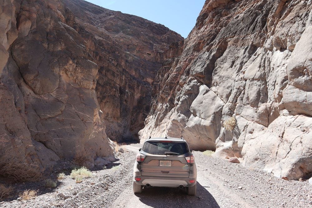
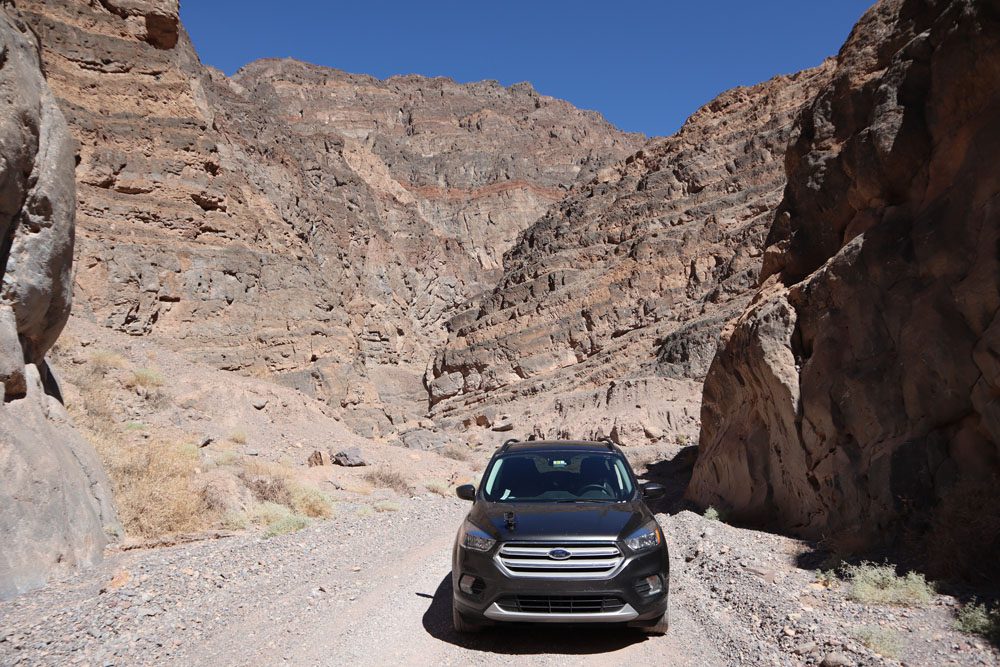
(1) If you cannot or do not want to drive Titus Canyon Road, you can hike the narrow canyon on a marked trail beginning in the parking lot where cars exit the one-way canyon. For drivers who wish to ditch the car and extend the adventure, a hike to Fall Canyon is an option. (2) Check out the “Titus Canyon Road” section of the Death Valley Travel Guide for important tips on preparing for the drive.
Scotty’s Castle
As you exit Titus Canyon and drive to the main road, head north for about 20 miles and make the pilgrimage to Scotty’s Castle, both a peculiar and iconic Death Valley landmark. Financed by wealthy Chicago businessman Albert Johnson during the Roaring 20s, no expenses were spared in the building of his would-be Spanish-style mansion. However, the construction was never completed and the Johnsons hardly spent time here, so in came colorful local prospector and cowboy Walter “Death Valley Scotty” Scott and claimed it for himself.
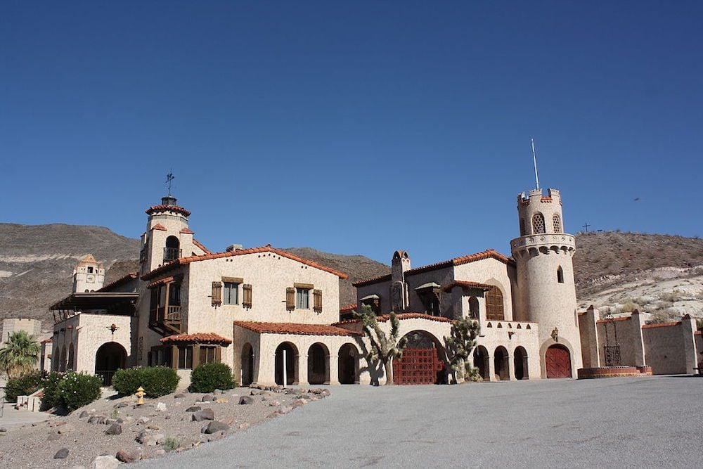
Scotty’s Castle suffered major flood damage in 2015. At the time of updating this Death Valley itinerary, ranger-led tours of Scotty’s Castle are the only way to visit the site. Check if space is available for your dates.
Ubehebe Crater
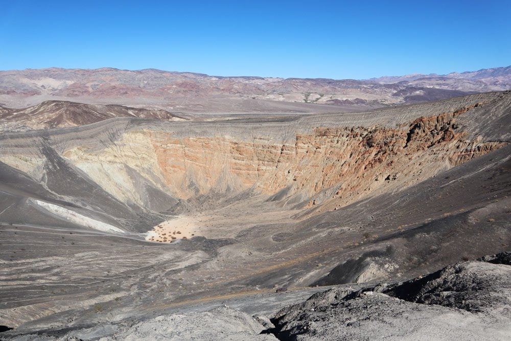
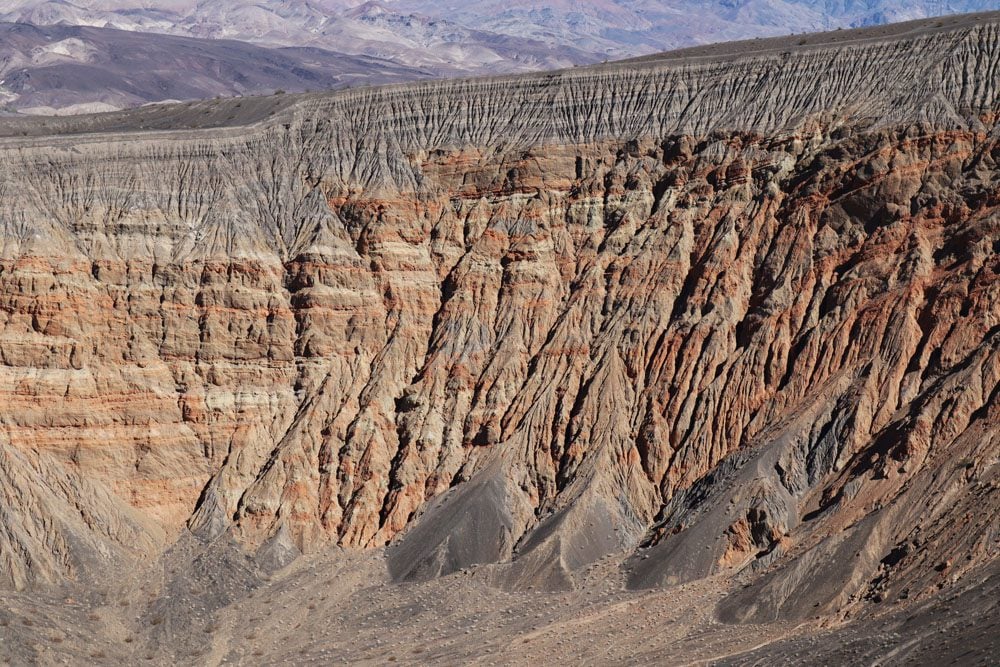
This large volcanic crater is a 20-minute drive from Scotty’s Castle and just next to the turnoff towards Racetrack Valley. The large crater, measuring half a mile across and 500 feet deep, is a result of steam and gas explosions released when hot magma met groundwater. The resulting heat created pressure that was eventually released with great force. This explosion took place about 2,000 years ago so, by geological standards, Ubehebe Crater is very young.
You can view Ubehebe Crater from the parking lot (it can get very windy up here) and even hike down to the bottom of the large crater, though coming up will be mighty hard as this entire area is covered with loose volcanic gravel. The best way of exploring the crater is by picking up the trail to its rim. This hike is about 1.5 miles in total and affords a bird’s eye view of smaller nearby craters.
Keane Wonder Mine & Mill or Mosaic Canyon
To wrap up the day, head back in the direction of Furnace Creek and choose one of the following hikes. It’s likely late afternoon by now so the weather should be suitable for hiking.
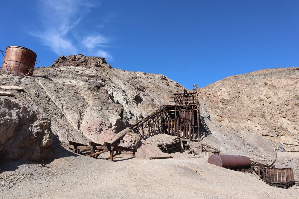
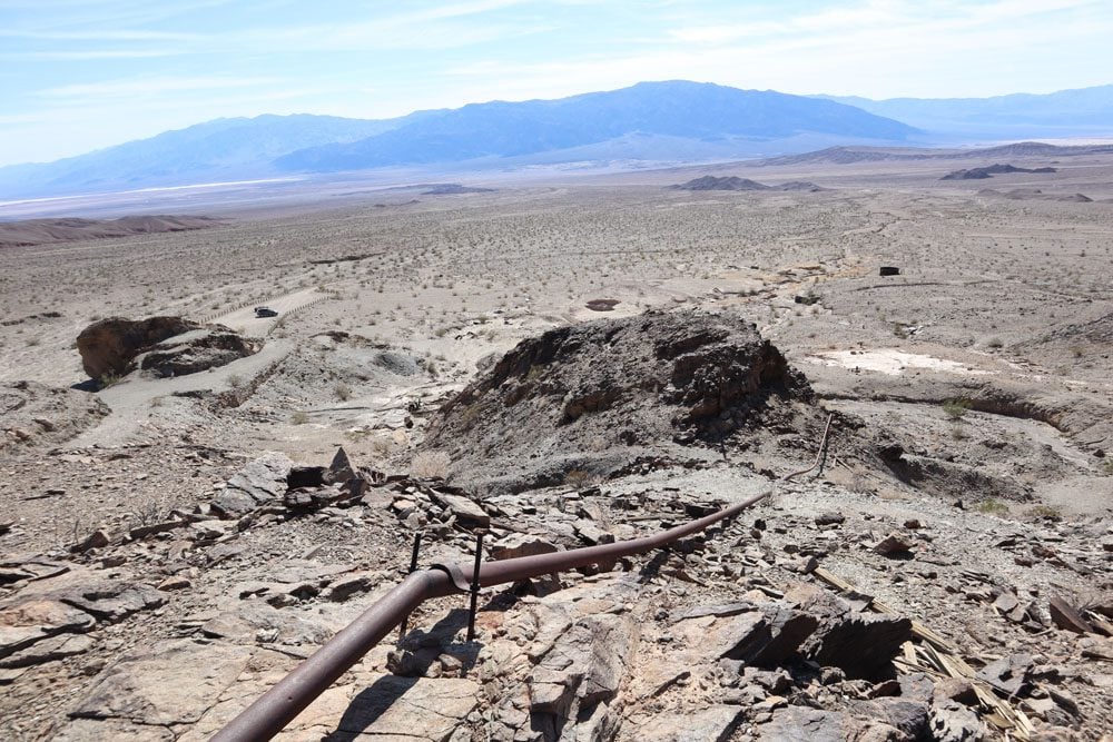
History buffs will enjoy visiting the abandoned Keane Wonder Mine and Mill for the impressive logistics that were put in place to transfer gold ore from mine shafts in the high ground over one kilometer downhill to the valley floor for processing. A short dirt road leads to the parking area, from where a steep trail climbs 1,500 feet in just 1.4 miles from the mill to the upper tramway terminal. You can stop whenever you want, enjoy the views and head back, or continue slightly further to the mine.
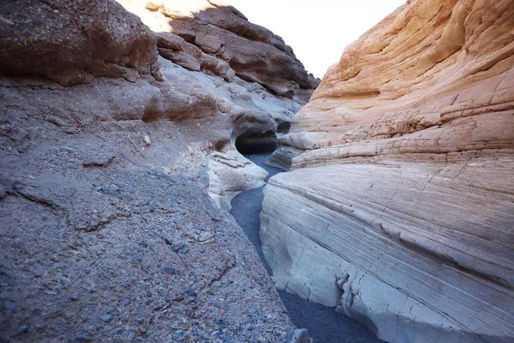
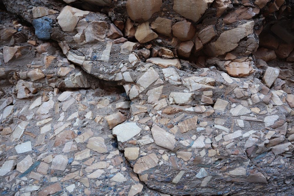
Alternatively, drive slightly beyond Stovepipe Wells and turn left to reach the trailhead to Mosaic Canyon. This moderate hike features a few narrow sections where you’ll cross smoothed rock and the canyon’s signature feature, Mosaic Canyon Breccia. It’s composed of small fragments of various types of rock locked within a natural cement that appears to create a mosaic. The trail ends in a dramatic rocky amphitheater culminated by a 25ft (7.6m) vertical dry waterfall.
Option 2: Roadtrip to the Racetrack
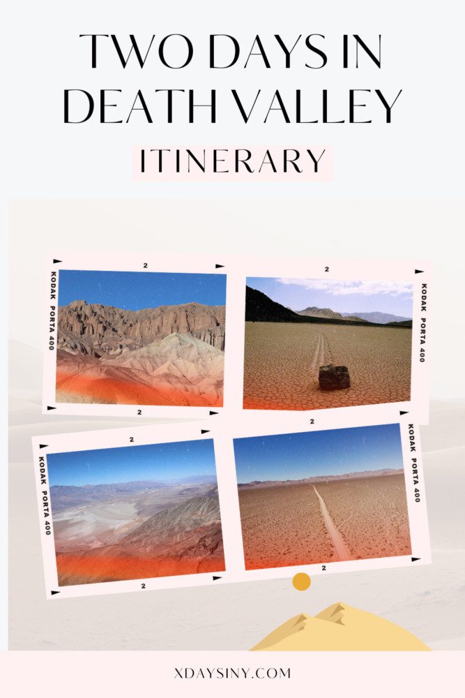
Racetrack Playa is home to one of the world’s great desert mysteries. Scattered across the flat, arid surface of this dry lakebed, also called playa, are hundreds of rocks that seem to have been dragged across the ground, often leaving trails on the dry lakebed that can stretch for hundreds of meters. Some of these boulders weigh about 700 pounds (over 300 kg).
Getting to the Racetrack from the Furnace Creek area involves a long drive, with 52 miles (return) on a dirt road. So this will take up the bulk of your day but there are additional highlights that can be seen on the way back to the park’s center.
Roadtrip to the Racetrack
Seeing this mystery with your own eyes is the prime reason for making the arduous journey to Racetrack Valley. From Ubehebe Crater, it’s a 20-mile drive to quirky Teakettle Junction on a gravel road that requires a 4WD vehicle. From the junction, continue straight for another six miles to the Grandstand. To see the “moving rocks”, drive two miles south of the Grandstand parking area. Walk at least a half-mile toward the southeast corner of the playa (dry lakebed) for the best views of the rocks and their tracks.
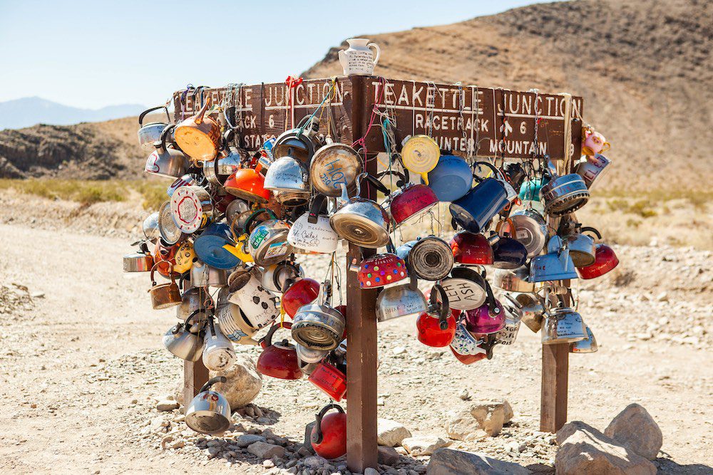
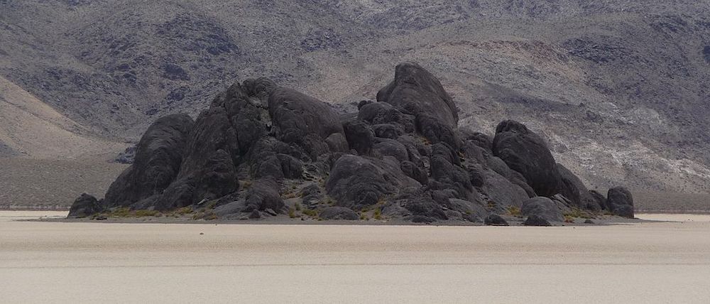
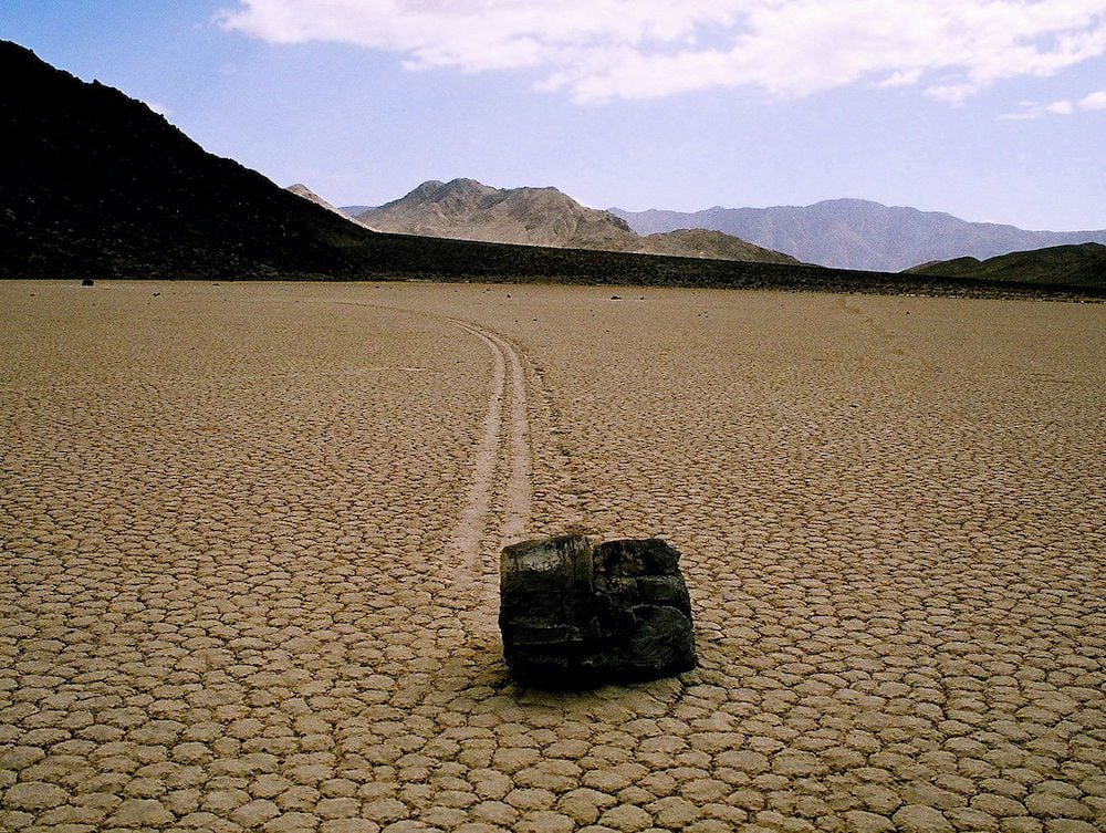
So what causes these rocks to move freely? Scientists believe this phenomenon is due to a rare combination of wind, rain, and the composition of the playa. But who really knows…
If you do not have a 4WD but wish to visit the Racetrack, inquire at the visitor’s center about renting a 4WD or joining a tour departing from Furnace Creek.
Ubehebe Crater and Scotty’s Castle
As you “return to civilization”, stop at Ubehebe Crater to enjoy the views and see if Scotty’s Castle is still open for tours. See “option 1” for more information about both spots.
What’s Next?
This two days in Death Valley itinerary covered the park’s main highlights and offered a few escapes to more remote sections of the national park. For more information about Death Valley, including essential planning tips and the best hikes, check out the Death Valley travel guide collection.
Pin These Images To Your Favorite Boards
