3 Days In Yosemite Itinerary
Day 2: Hike to Glacier Point & Around
On day two of our three days in Yosemite itinerary, we’ll focus on the park’s finest scenic spot. We’ll use our feet to reach it and then explore the surrounding area but I will also suggest an easier alternative at the end of this section.
Four Mile Trail to Glacier Point
You can technically drive to Glacier Point on Glacier Point Road so why put your feet to the test and hike? The Four Mile Trail is the answer to that, a challenging but rewarding hike from the base of Sentinel Rock to Glacier Point. The trail follows the path of an old toll trail that was completed in 1872 but the current path is slightly longer than the name suggests (9.2 miles return | 14.8 km).
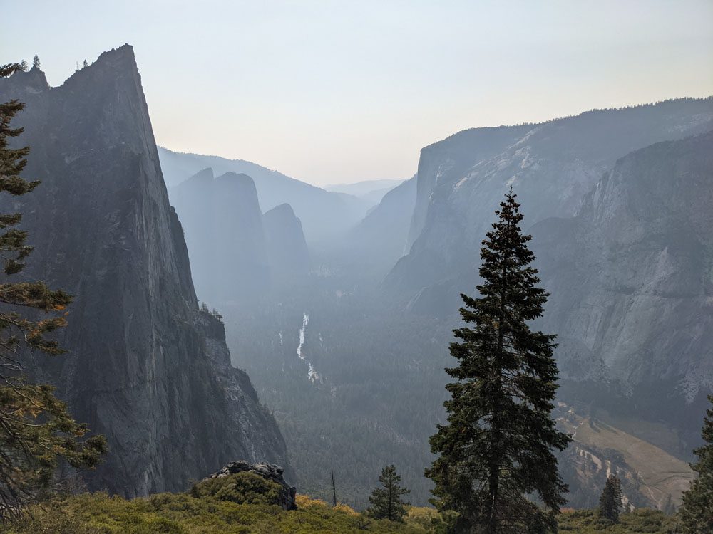
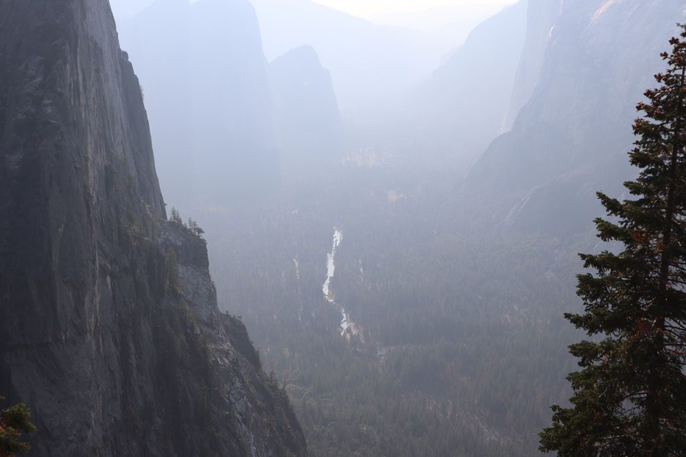
The first leg of the hike from Yosemite Valley to Union Point is a constant uphill climb with many switchbacks. However, the trail is paved in many sections and hikers are treated to an incredible bird’s eye view of Yosemite Valley and Yosemite Falls painted in morning colors.
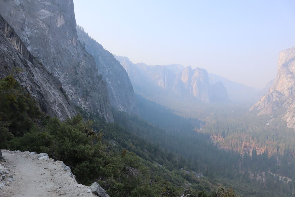
The views just keep getting better and better as you continue the push to Union Point. This scenic spot is perfect for a snack break and for appreciating the jagged peaks of Sentinel Rock.
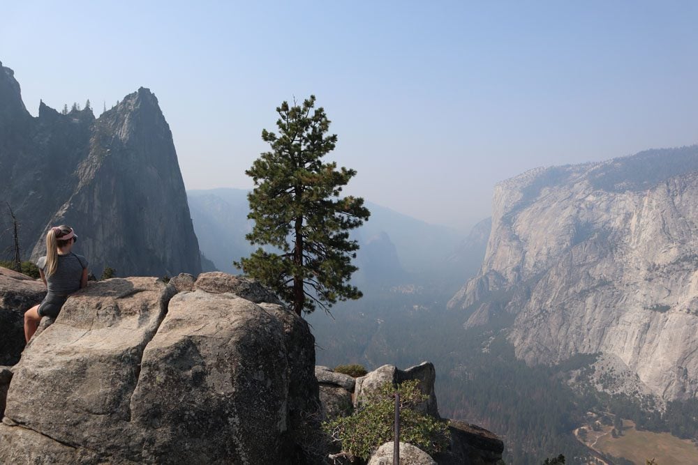
The final leg from Union Point to Glacier Point is another 1.6 miles. On this stretch, Half Dome becomes the dominant natural feature in the frame, and what a sight it is.
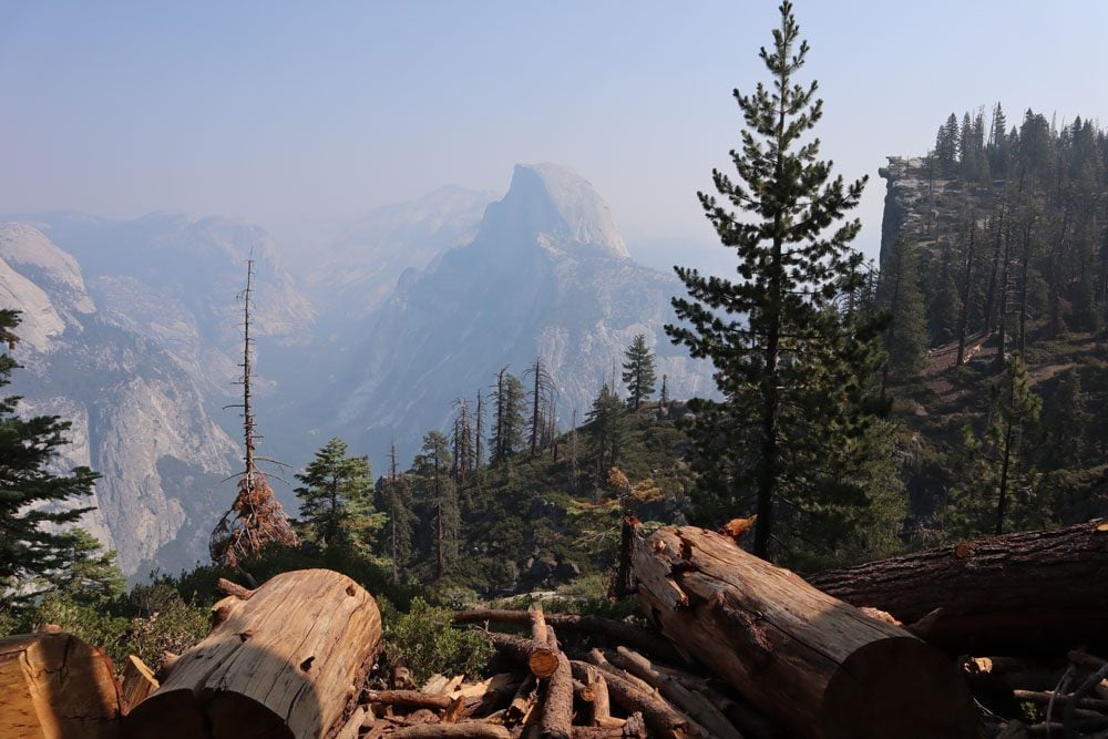
Glacier Point
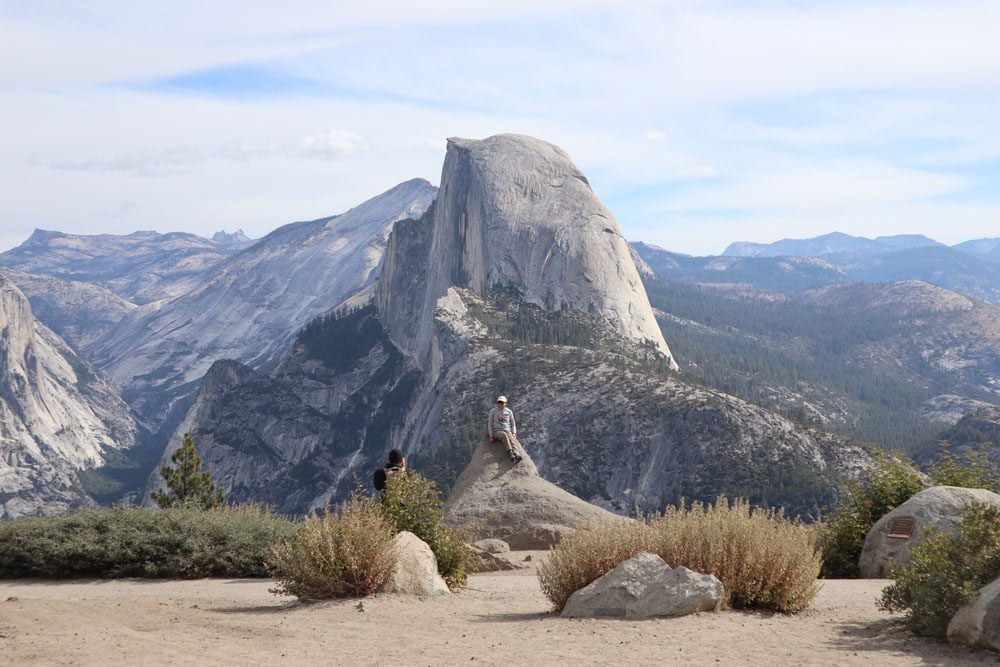
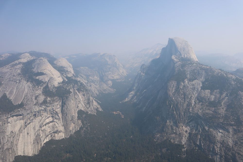
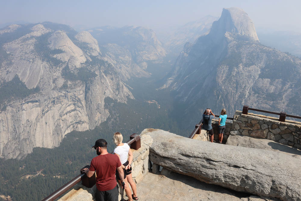
Standing at an elevation of 3,214 feet (979 m) above Yosemite Valley and almost directly across from Half Dome, it’s easy to understand why Glacier Point is considered the finest scenic spot in Yosemite. As such, Glacier Point is one of Yosemite’s top attractions so you won’t be here alone. In fact, hiking out of the forest on the Four Mile Trail and reconnecting with the outside world can come as a bit of a shocker. Glacier Point caters to the masses, complete with a large parking area, toilets, and even a shop.
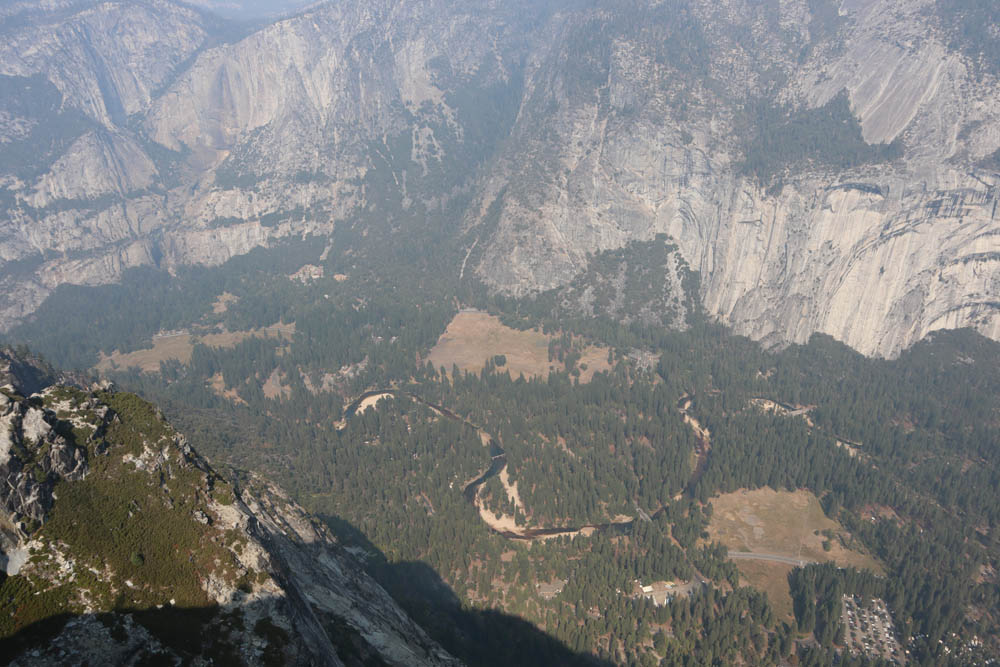
A paved path leads to a few scenic lookouts, eventually reaching a climax at Glacier Point Lookout. From this vantage point, you can see about 25% of Yosemite National Park. About two million years ago, at the height of the Ice Age, Yosemite Valley was covered in thick ice that even reached 700 feet above Glacier Point. As the glacier melted and gravity pulled it to lower ground, it created the shape of Yosemite Valley.
Taft Point & Sentinel Dome
From Glacier Point, you can continue the fun and hike to Sentinel Dome and even slightly beyond to scenic Taft Point for a total incremental distance of 7.5 miles (12.1 km). Both of these spots offer superb panoramic views and are highly recommended if the weather is pleasant and if there is still enough “gas” in your tank.
From the summit of Sentinel Dome, enjoy a slightly different vantage point of Half Dome than the one from Glacier Point, and also catch views of El Capitan.
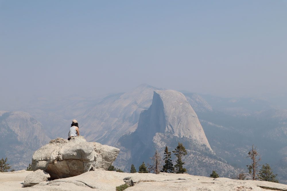
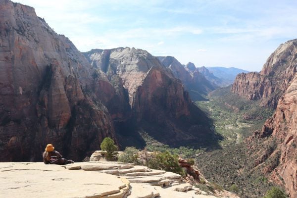
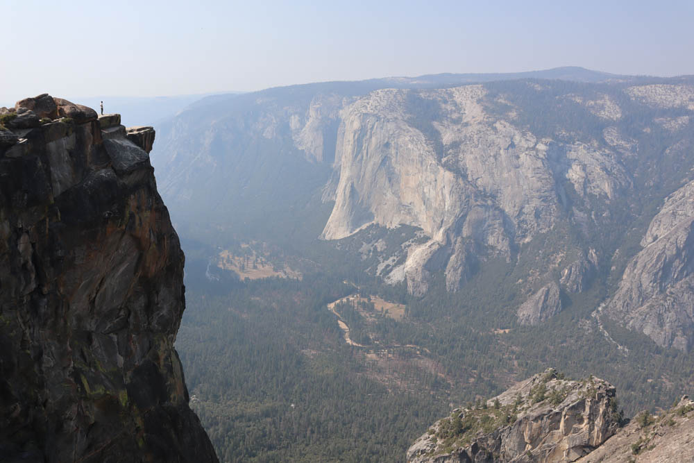
From Taft Point, enjoy thrilling views of Yosemite Valley. If you feel adventurous, walk to the far side of Taft Point, cross the railing (cautiously), and grab a seat on the rocky ledge.
Back to Yosemite Valley
If you’ve made it to Taft Point, you have quite a long way back to the valley floor, so plan to take a break at Glacier Point before starting the final descent. Coming down the Four Mile Trail in the late afternoon provides a different experience. By now, the sun is beginning to set and Yosemite Valley is once again painted gold; the Merced River is shining like a mirror and birds are busy preparing a bed for the night.
Using the Shuttle to Get Back
Most hikers head back to Yosemite Valley on the Four Mile Trail. However, you might be able to get a spot on a guided bus tour heading back from Glacier Point. Advance tickets are only available if riding the bus from Yosemite Valley to Glacier Point. Tickets for the return leg only can be purchased in cash from the driver if space is available.
If the challenging Four Mile Trail to Glacier Point is out of scope, consider an easier itinerary.
Mariposa Grove
Begin the day with a drive to the Mariposa Grove, the finest of Yosemite’s three giant sequoia groves. The Mariposa Grove is home to over 500 giants, some of which are well over 2,000 years old. Park at the Mariposa Grove Welcome Plaza and use the free shuttle (when in operation) or walking trail to reach the grove, about two miles away.
At the grove, one of the two easy trails should be enough for a quick taste, either the Big Trees Loop Trail (0.3 miles) or the slightly longer Grizzly Giant Loop Trail (2 miles). Highlights include the cluster of giants known as the Bachelor and Three Graces, followed by the Grizzly Giant, and the California Tunnel Tree, through which you can actually walk. You can extend your visit by hiking the entire length of the Mariposa Grove Trail.
Optional Stop at Wawona Hotel
The historic Wawona Hotel (Big Trees Lodge) opened its doors in 1879, but it owes its origins to 1856 when a small log cabin, called Clark’s Station, began hosting tourists. The hotel’s distinctive features are its wooden facade and large veranda. Stop here for a quick look or lunch/coffee. History buffs can also check out the Pioneer Yosemite History Center.
Glacier Point Road
Open from late spring to late fall, Glacier Point Road provides access to Glacier Point and the Badger Pass Ski Area. The better part of the road is quite monotonous as it crosses a forest of redwoods, but towards the end, several bends reveal pretty vistas. The road ends at Glacier Point.
Glacier Point
Explore Yosemite’s finest scenic lookout and views of Half Dome from 3,214 feet (979 m).
Hike to Sentinel Dome & Taft Point
If you do want to put your feet to work but climbing to Glacier Point directly from Yosemite Valley is a bit too much, consider hiking to Sentinel Dome and Taft Point. Trail access to both Taft Point and Sentinel Dome is from the same parking area, though you can also hike to Sentinel Dome from Glacier Point and then continue to Taft Point if you want. See the previous section for more details.

