One Day In Canyonlands National Park Itinerary
Canyonlands is the largest of Utah’s “Mighty Five,” so one-day visitors must focus their efforts on making the most of the day, hopefully leaving lasting memories for a return visit. In this one day in Canyonlands National Park itinerary, we’ll focus on the Island in the Sky district, taking in the stunning views from high above and even hiking down to the canyon rim.
Having a strong affinity for deserts, I was surprised I only made it to Canyonlands on a recent road trip in the American Southwest. I spent three days extensively exploring three of the national park’s four districts and would have stayed much longer if the weather did get sour. This Canyonlands day trip itinerary is based on extensive research and my experience.
Why Visit Canyonlands National Park?
If you’re intrigued by the “classic” desert scenery featured in old western films, or wish to explore some of America’s wildest and remotest corners, Canyonlands NP is a perfect choice.
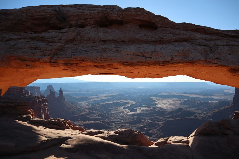
Colorful sandstone needles, natural arches, mesas, buttes, canyons, and fins. These are just some of the stunning geological features waiting to be discovered at Canyonlands.
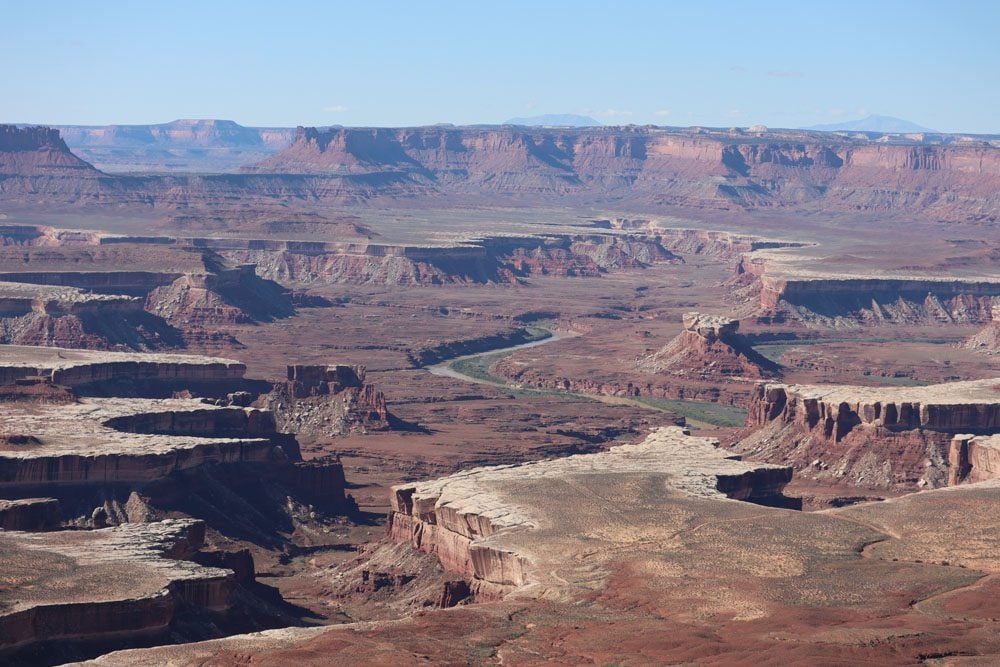
With just a fraction of visitor numbers compared to other Utah national parks but with far more land than the eye can see, Canyonlands NP is the perfect place to be at one with nature.
Additional Southern Utah Resources
Check out additional travel guides to Southern Utah and combine your visit to Canyonlands NP with other members of Utah’s “Mighty Five.”
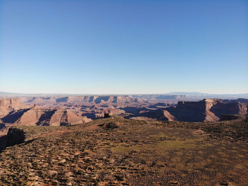
Covering an area nearly half the size of Rhode Island and split into four districts, Canyonlands is Utah’s largest national park. Some areas in the park are actually the remotest in the Continental U.S. Therefore, on a day trip to Canyonlands National Park, you must choose the right district to focus on. My recommendation is to devote your one-day visit to Island in the Sky. It’s the park’s most accessible (and visited) district, offering a great mix of scenic drives and hikes.
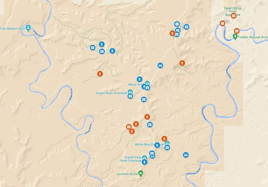
One Day in Canyonlands NP Itinerary Map
Find the places mentioned in this itinerary on the following companion map. Simply click on the image to open it in Google Maps.
Where to Stay?
Unless you’re camping, Moab is your best option for lodging when visiting Canyonlands together with Arches NP. Moab is the closest proper town to Island in the Sky and within reasonable driving distance from the Needles. However, if you want to focus on the Needles district, Monticello and La Sal shorten the drive.
(1) Here are all the Moab accommodations that can be booked online via Booking.com. (2) Check out the Canyonlands NP Travel Guide for specific Moab hotel and motel recommendations.
If you wish to camp in Canyonlands NP, there’s one campground in Island in the Sky and one in the Needles. You can also hike and camp in the backcountry with a permit or find a spot in BLM campgrounds just outside Moab along State Route 128.
Morning: Island in the Sky Scenic Drive
We’ll spend the morning on this day trip to Canyonlands National Park itinerary, driving the length of the scenic drive, stopping at the best roadside viewpoints, and hiking short trails.
(1) Since you only have one day in Island in the Sky, get an early start and arrive at the visitor center before 9 am. If you arrive even earlier, you’ll be rewarded with incredible morning colors and sunrise at Mesa Arch. (2) Early mornings can be pretty chilly in Island in the Sky, even during the year’s warm months. So dress in layers, and during spring or fall, even bring a warm hat and gloves.
Visitor Center
Check the visitor center opening hours and pop in for a chat with one of the rangers to “sanity check” your itinerary. If you’re heading to Horseshoe Canyon in the next few days, grab a brochure and get some information from the rangers.
You can fill your bottles with drinking water at the visitor center.
The Scenic Drive
A 34-mile / 55 km (return) Y-shaped scenic drive stretches from the visitor center to Grand View Point Overlook and Upheaval Dome. Most sections of the scenic drive do not offer a great vantage point for ordinary vehicles, but they do lead to stunning scenic lookouts and trailheads.
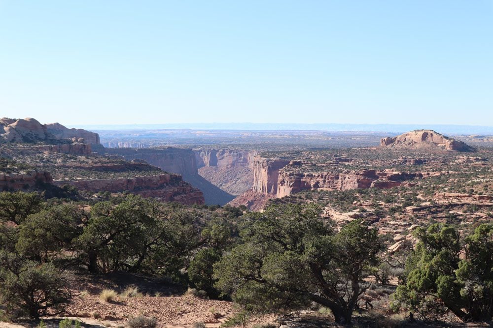
This itinerary does not chronologically follow the scenic stops in order. This is purposely done to ensure proper focus is given to the top sites. Therefore, we’ll often “skip” interesting spots, only to return later in the day.
Shafer Canyon Overlook
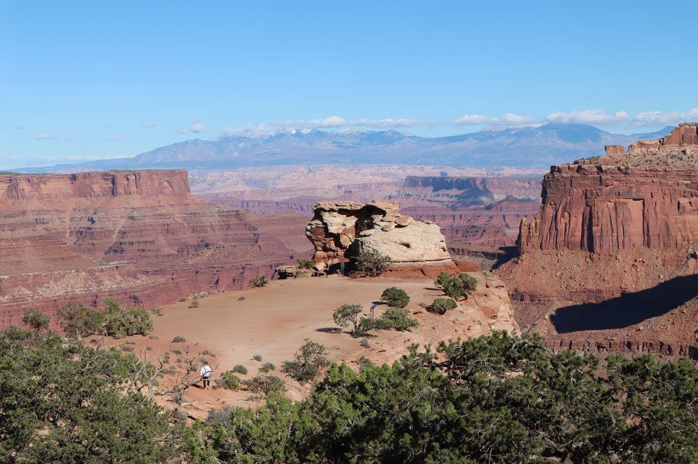
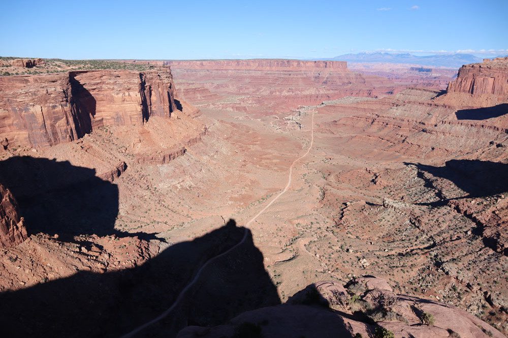
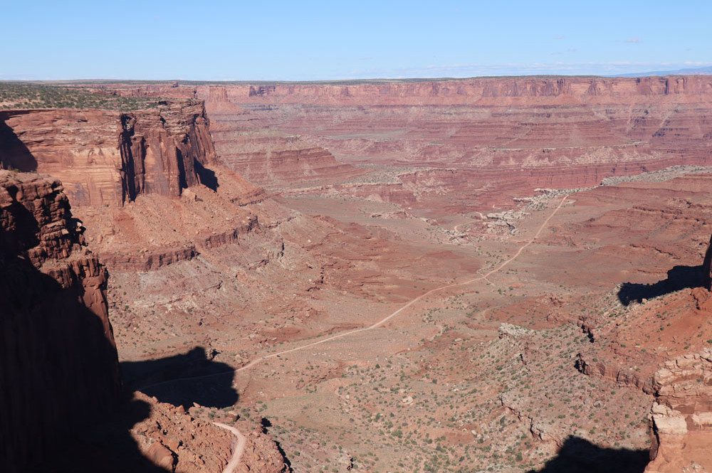
Stop at the Shafer Canyon Overlook after a very short drive from the visitor center and hike the short trail for incredible canyon vistas. At its bottom, you can see a seemingly infinite straight section of the Shafer Trail, our next stop.
Shafer Trail Viewpoint
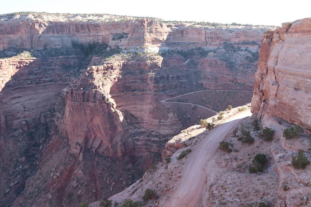
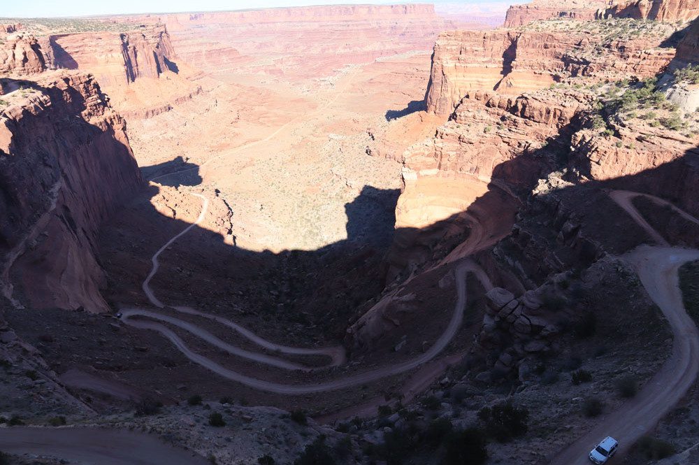
The Shafer Trail is an iconic road in Canyonlands National Park, descending 1,500 feet (457 m) from Island in the Sky to White Rim Road and beyond towards Moab. This challenging road was used by miners and is only suitable for 4WD vehicles. After getting a good view of Shafer Canyon, stop at the Shafer Trail Viewpoint for better views of the road’s legendary switchbacks.
Shafer Canyon Overlook and Shafer Trail Viewpoint are best experienced in the morning. However, you can stop here on your way out of Island in the Sky if you’re visiting during the long summer/early fall months. In this case, shade might already obscure parts of the trail.
Mesa Arch
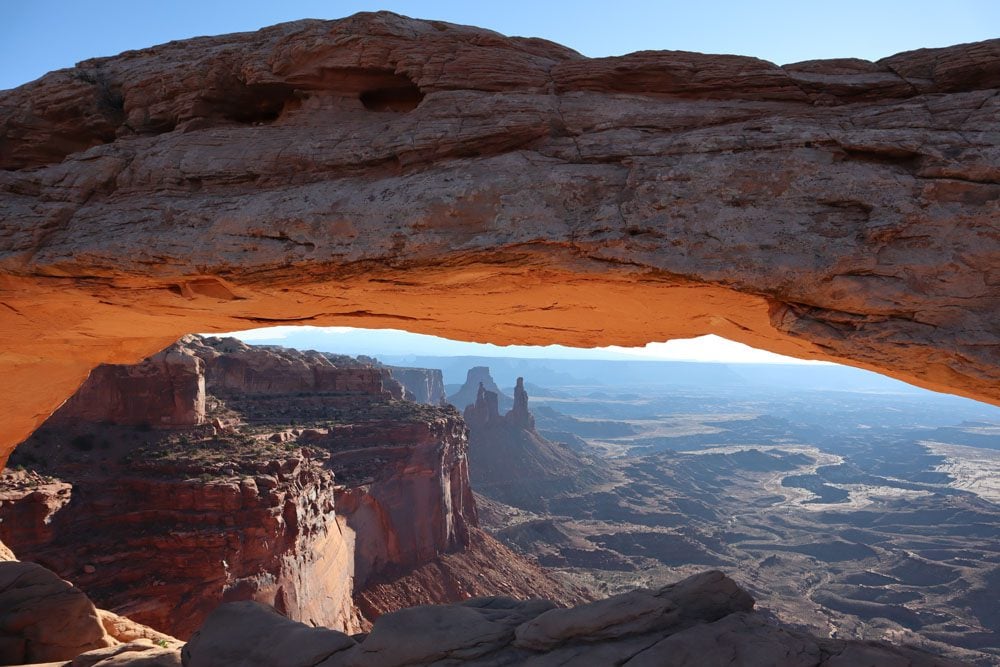
Watching the morning colors at Mesa Arch is one of Canyonlands’ top highlights, so getting here early in the day is vital. A short and easy 0.5 mile / 0.8 km (return) trail leads from the parking area to the natural arch, through which a gorgeous vista is revealed featuring the La Sal Mountains in the far distance and sandstone buttes slightly closer.
Grand View Point Overlook
At an elevation of 6,080 feet (1,853m), Grand View Point marks the southern tip of the scenic road. It’s one of Island in the Sky’s most beautiful vistas, answering the question of how this place got its name.
Enjoy the views near the parking area or hike the easy Grand View Point Trail, which leads about a mile along the rim of the high-elevation canyon. On clear mornings, you can see 100 miles into the desert, enjoying a wide vista stretching from the La Sal Mountains to the Colorado and Green Rivers confluence.
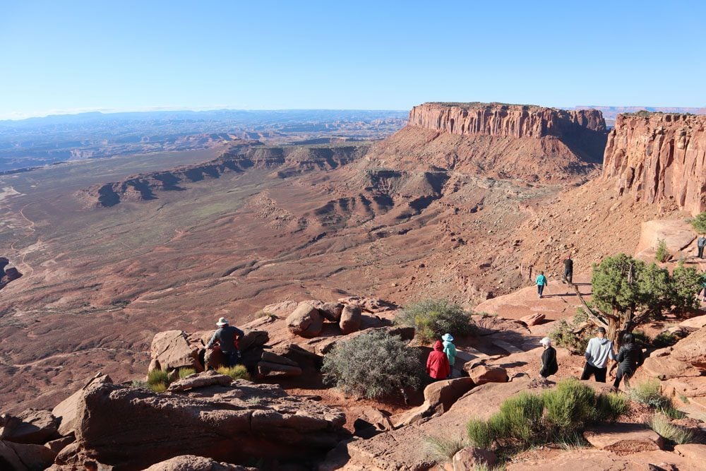
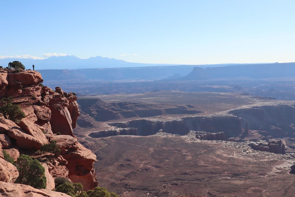
The White Rim forms a plateau about 1,000 feet beneath Grand View Point, giving the “island in the sky” impression if you use your imagination. Try and spot the White Rim Road, one of the ultimate 4WD backcountry experiences. Beyond the rim, beautiful spires of eroded sandstone aim for the sky, the highest of which is the famous 305-foot (93m) Totem Pole.
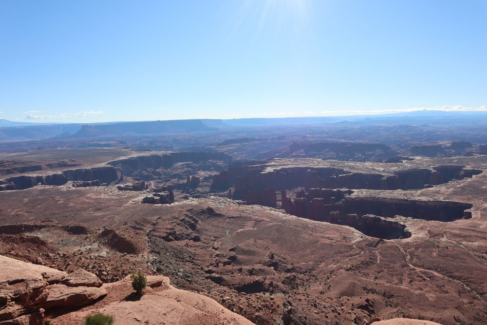
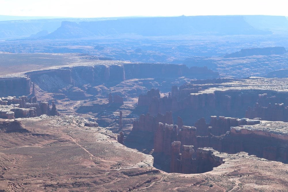
With its neighboring scenic lookouts, Grand View Point Overlook is best visited in the morning.
Orange Cliffs Overlook
This is a quick stop as you begin to work your way back from Grand View Point. The view from Orange Cliffs Overlook is similar to what you see if you hiked to the very end of the Grand View Point Trail. On a clear day, you should be able to see the Green River.
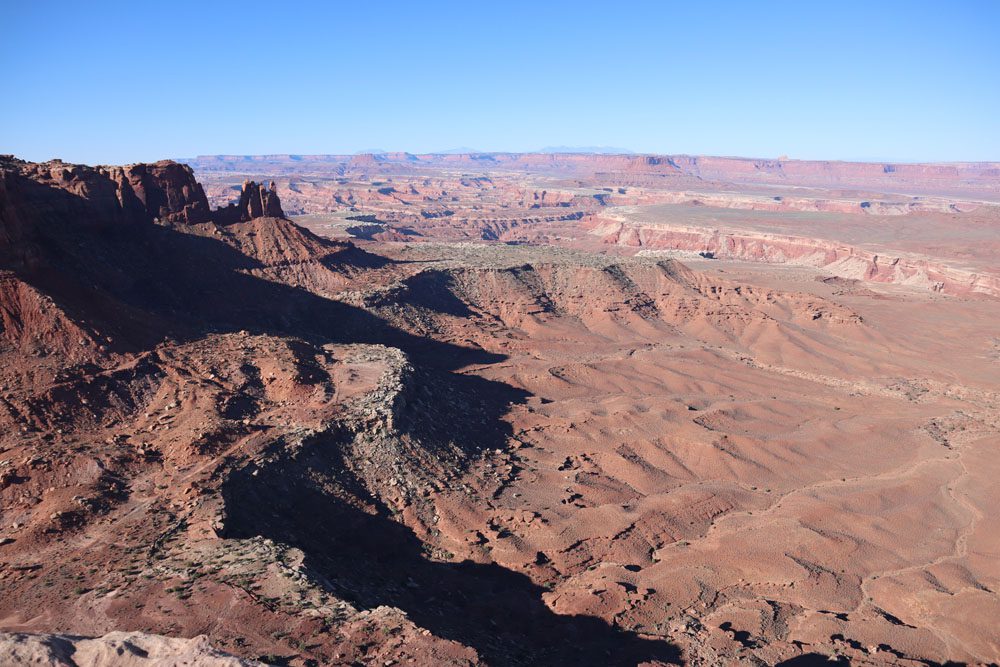
White Rim Overlook
White Rim Overlook is another magnificent scenic spot. From the small parking area, pick up the White Rim Overlook Trail and either hike to its edge or as far as you wish. As its name suggests, this overlook offers a bird’s eye view of what’s happening 1,000 feet beneath on the White Rim Road. Check out views of the Colorado River and the La Sal Mountains along the hike.
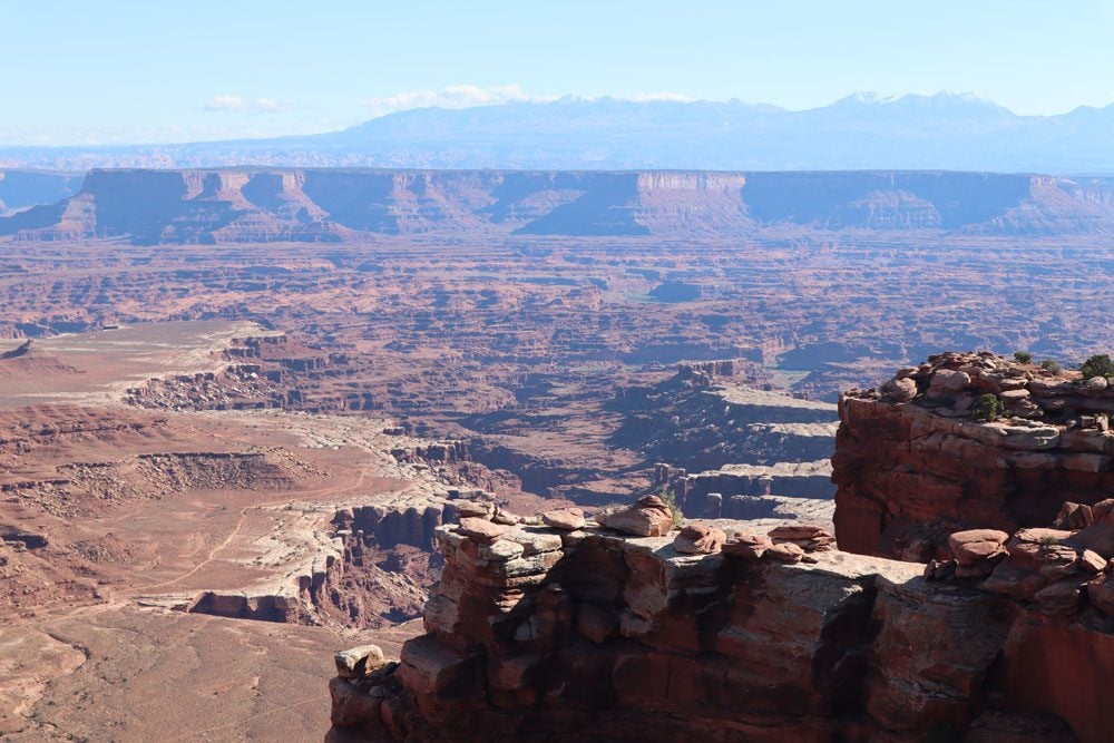
(1) White Rim Overlook is a good spot for a picnic lunch. (2) For a challenging hike to the canyon floor, consider the challenging Gooseberry Trail, which branches off the White Rim Overlook Trail.
Buck Canyon Overlook
At an elevation of 6,240 feet, Buck Canyon Overlook is another worthwhile spot on the scenic drive. Enjoy additional views of the White Rim from the paved overlook, which rests atop an elongated opening in the canyon below.
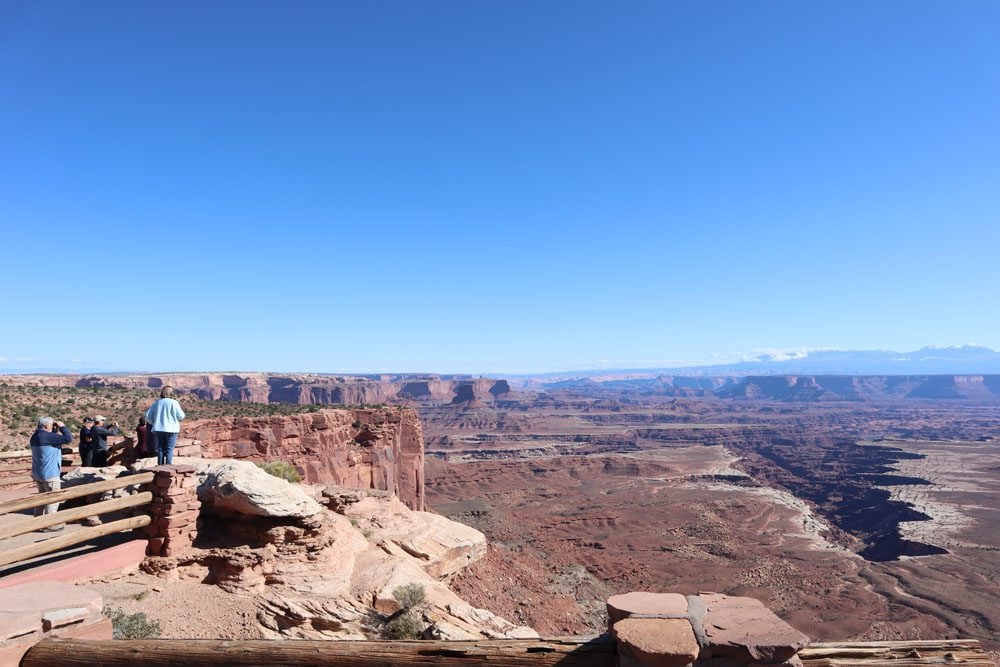
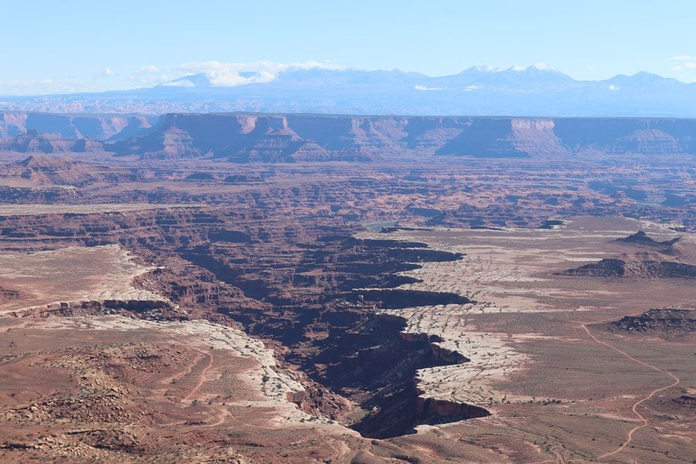
Candlestick Tower Overlook
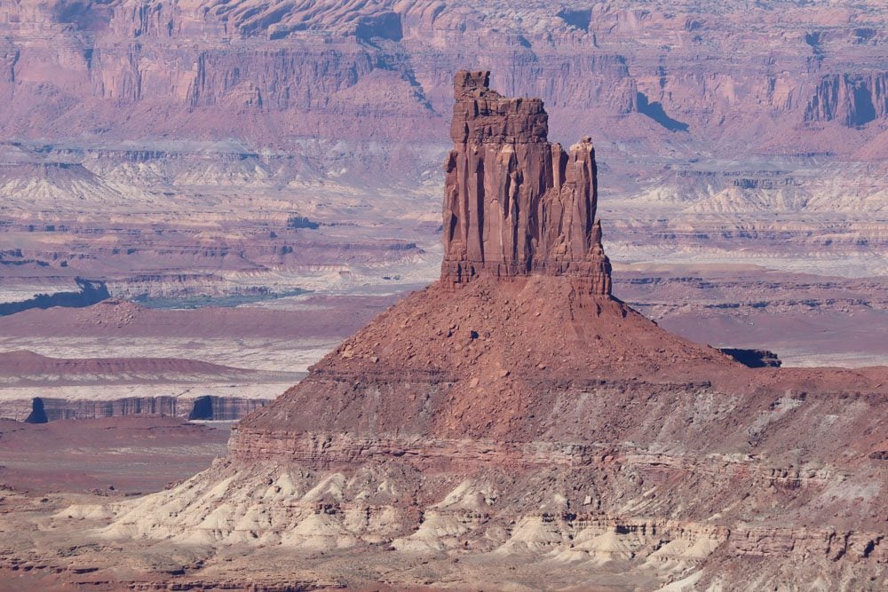
You can admire Candlestick Tower from the comfort of your car or make an extra effort by hiking a short trail for even finer views. This sandstone mesa is part of any “classic” Wild West image, sticking out into the open expanse of the Soda Springs Basin, which abruptly ends at the rim of Stillwater Canyon.

Green River Overlook
Take a left at the fork towards Upheaval Dome and another left to reach the Green River Overlook. The Green River Overlook is among the top scenic spots in Island in the Sky, together with White Rim Overlook and Grand View Point.
From a commanding height of 6,000 feet, panoramic views as far as the distant Orange Cliffs and the Henry Mountains are revealed. This is the best place to admire the meandering Green River, whose origins begin in Wyoming. The river joins the Colorado River 20 miles downstream at the Confluence. West of the river marks the start of the Maze, the most isolated and least developed district in Canyonlands NP.
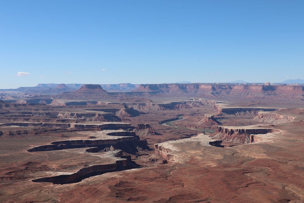

The afternoon on this day trip to Canyonlands National Park is mainly devoted to hiking. Considering that the next two stops are by no means a must and that most of the suggested afternoon hikes are quite demanding both in effort and time, it might be wise to skip them entirely and head to the trailhead of your choice (see the afternoon section for more details).
Upheaval Dome
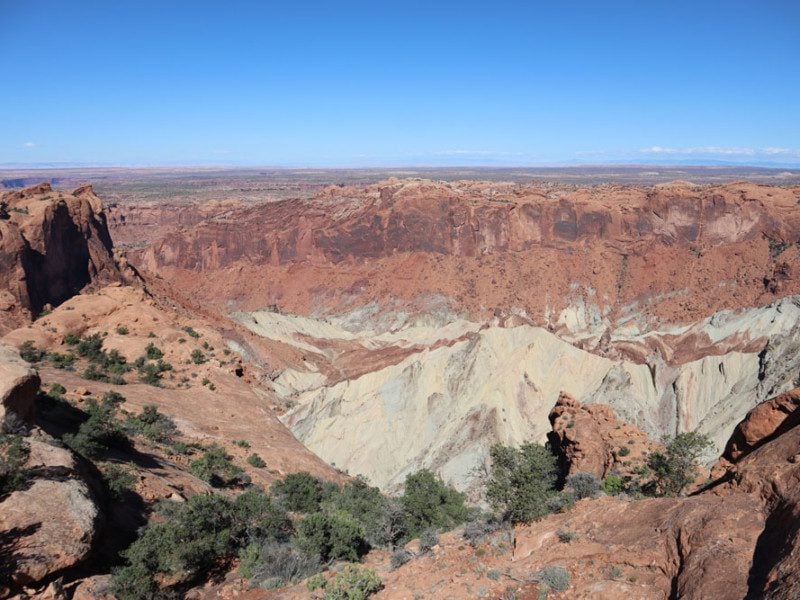
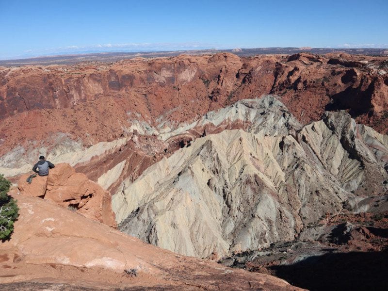
The scenic drive ends at Upheaval Dome, a circular depression more than two miles wide. Researchers still debate the origins of the dome, with some siding with the cracked salt dome theory while most with the meteorite impact theory. Recent geological findings lean towards the latter.
The 8.3-mile challenging Syncline Loop Trail circles the dome but does not offer good views of the mysterious natural feature. Instead, the moderate Upheaval Dome Trail takes hikers to two impressive overlooks. An easy 0.8-mile roundtrip (1.3 km) trail leads to the first overlook, while the second overlook is slightly more challenging (1.8 miles | 2.8 km roundtrip).
Whale Rock and Aztec Butte
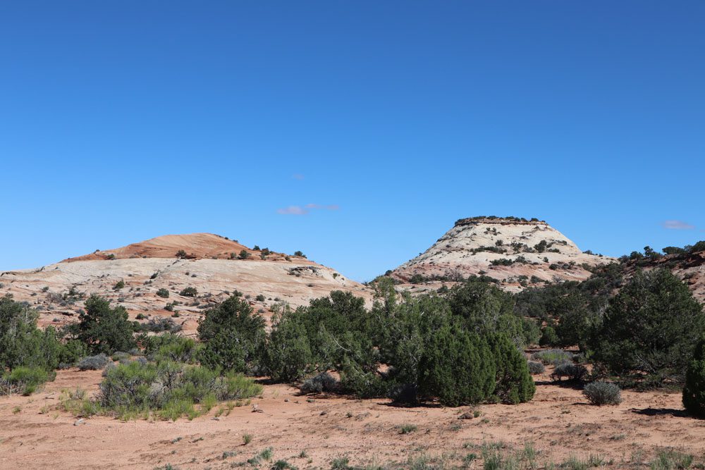
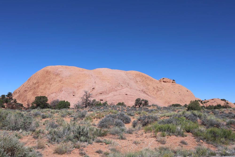
Driving back in the direction of the visitor center, take a look at Whale Rock and Aztec Butte from the scenic road or hike one of them (or both). The Whale Rock Trail is shorter and slightly easier (1 mile | 1.6 km). It takes hikers up the side of the dome and offers panoramic views of Island in the Sky from the top. The Aztec Butte Trail has more to offer but is longer and more strenuous (2 miles | 3.2 km). Hikers can ascend the butte to catch views of the surrounding area or visit the remains of ancestral Puebloan granaries.
Afternoon: Hiking & Sunset at Dead Horse Point
We’ll spend the bulk of the afternoon on this one day in Canyonlands itinerary hiking down to the White Rim or around Island in the Sky, later heading next door to enjoy a spectacular sunset.
If you’re visiting during the summer/early fall months, the days are long and provide ample time for seasoned hikers to hike down to the White Rim and back. These are challenging yet rewarding hikes that require preparation (look at the Canyonlands Travel Guide for essential hiking tips).
Note that it might be too challenging for some to reach the White Rim and return in a single afternoon. However, even by hiking halfway down, you’ll leave the few crowds behind and enjoy the view. Check out the “pro tip” below this section for easier options.
The Gooseberry Trail is the shortest way to reach the White Rim from Island in the Sky, but it is the steepest trail in the district, rapidly descending 1,400 feet to the White Rim. The Wilhite Trail is much longer and less maintained, but it leads after steep switchbacks to a long sandy wash and the famous rim. The Lathrop Trail is the longest hike to White Rim Road (13.6 miles | 22 km), but you can hike just to the upper canyon rim for the views and head back up (5 miles | 8km). Lastly, the Murphy Trail Loop is one of the most thrilling hikes in Island in the Sky and my hiking choice for the afternoon.
If steep switchbacks pose too much of a challenge or if you’re pressed for time, consider hiking the moderate Neck Spring Trail (5.8 miles | 9.3 km). This loop trail has minor elevation changes and traverses old ranching grounds featuring two springs. Alternatively, the easy Murphy Point Trail (3.6 miles | 5.8 km) leads to a splendid overlook on the top of a mesa with views of Candlestick Tower, the Green River, and the White Rim.
Murphy Loop Trail
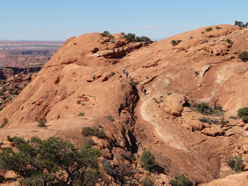
The Murphy Loop Trail is a challenging 10.8-mile (17.4 km) hike that drops 1,400 feet off the side of a mesa towards the White Rim. I did part of this hike since I was running low on time and wanted to explore Dead Horse Point. Nonetheless, it was a memorable experience that I highly recommend if you can overcome the physical challenge.
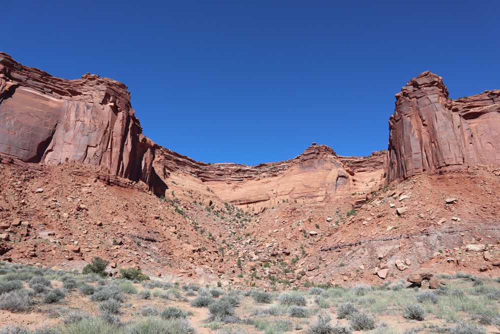
The trail begins with a gentle walk on flat ground. After about a mile, you’ll reach the fork where the right leads to Murphy Point (see above “pro tip”), and the left continues to the mesa’s edge. This is where “the fun begins,” with a series of steep switchbacks on a primitive trail that uses rock piles to guide the way. The views are exceptional, and the hike down is fairly easy, though don’t put too much strain on your knees.
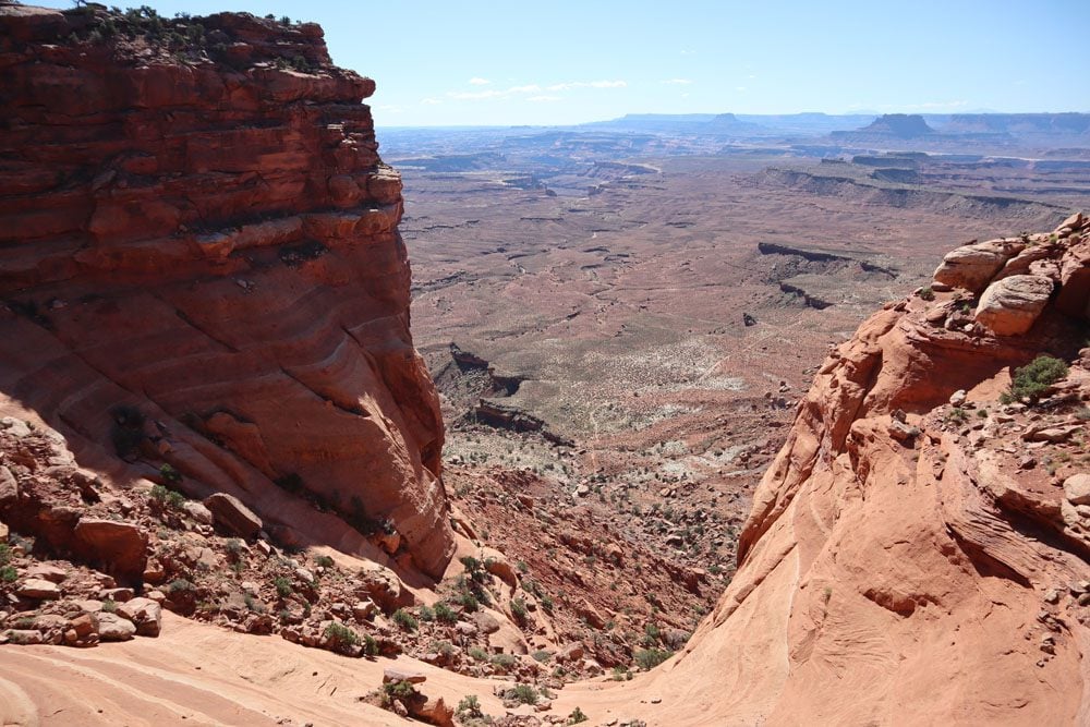
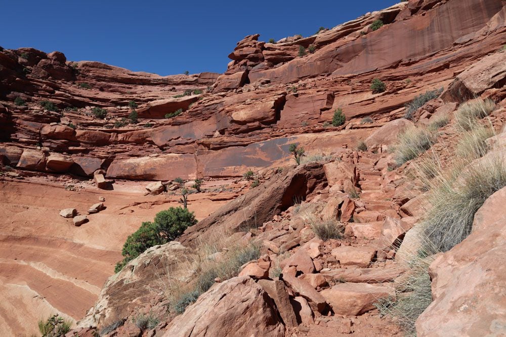
If you’re not hiking all the way to the White Rim, this is the most enjoyable part of the hike, so take it slow and pause to enjoy the views. If it’s a hot day, try spotting birds catching thermals in the sky or lizards catching some rays on the hot stones.
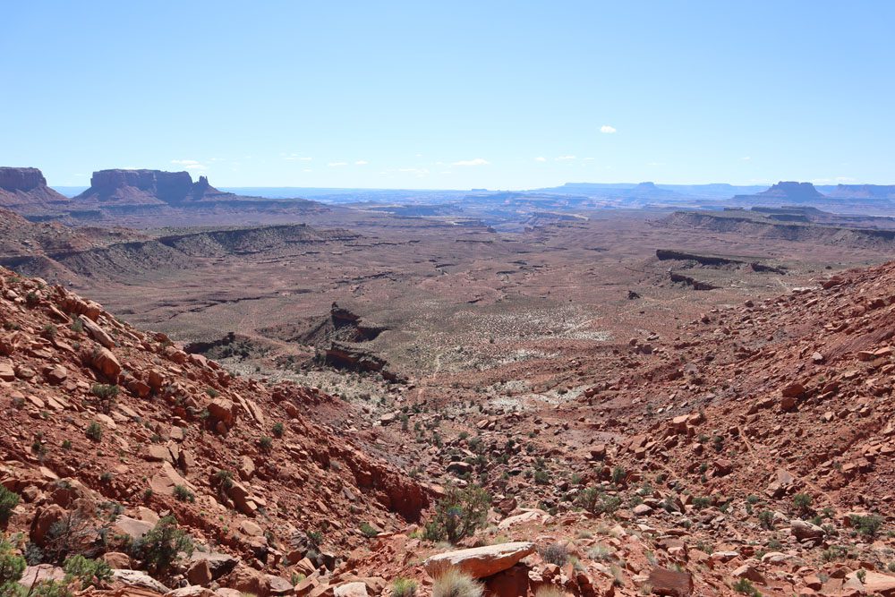
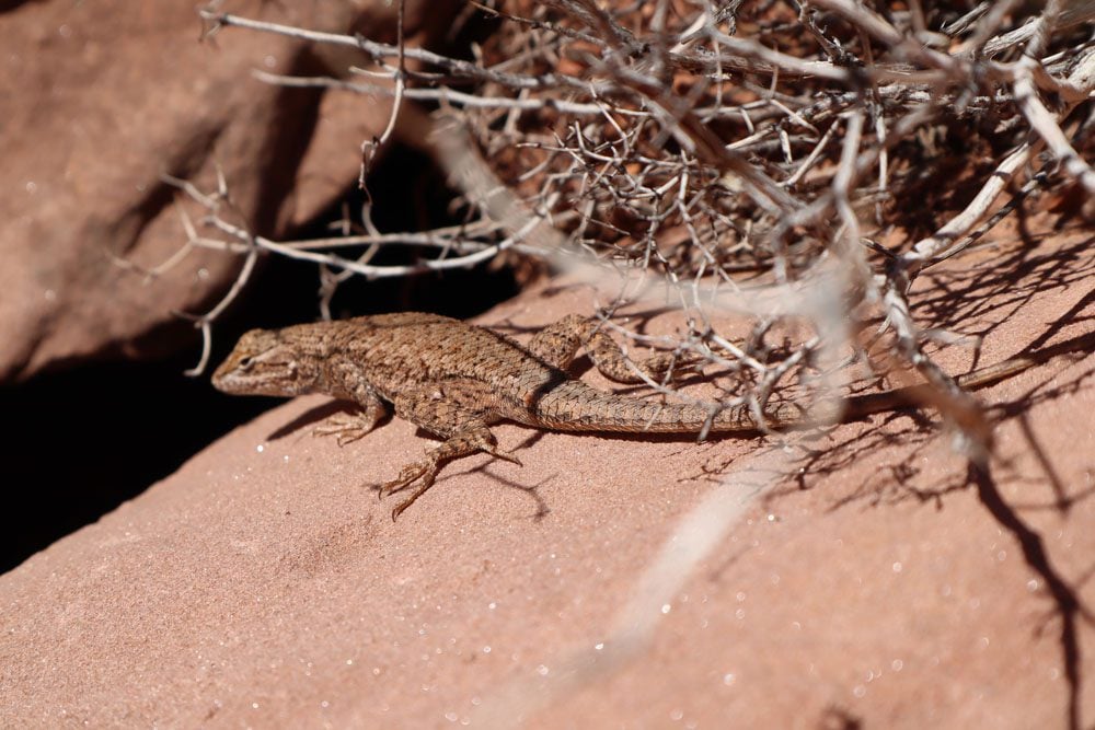
Once you reach the bottom, you must decide whether to head back up, walk slightly further to get close to the White Rim, or go all the way and complete the loop. If you wish to continue, stick to the left and complete the loop clockwise for a slightly easier return leg.
If you have a 4WD vehicle, consider taking the scenic backcountry Shafer Trail Road back to Moab. This is a challenging yet rewarding way to exit Island in the Sky, taking in most of the sites seen from high above at Dead Horse Point. Stop at Gooseneck Overlook to see the sharp bend in the Colorado River and Thelma & Louise Point, where the legendary final scene was filmed. Then, take Potash Road back to Moab, passing the Potash Ponds with their striking display of colors. Note that high clearance AWD vehicles are not recommended, but some drivers do take the risk.

Dead Horse Point
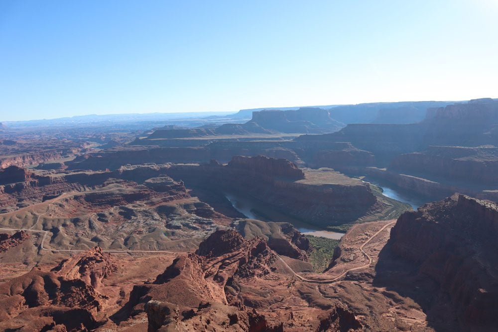
There’s one final stop to make before wrapping up this one day visit to Canyonlands National Park. Exit Island in the Sky and head to Dead Horse Point State Park. Unfortunately, your ticket to Canyonlands is not valid here, so you’ll need to pay a separate fee. The park boasts a network of hiking trails that branch off the scenic drive, but the prime reason for heading here is to watch the sunset at Dead Horse Point.
The best way to experience Dead Horse Point is by walking the length of the short loop trail. Stop at each scenic lookout and enjoy memorable views of the sandstone mesas towering above the Colorado River. From up here, you can also easily spot the Shafer Trail Road that connects Island in the Sky to the potash ponds.
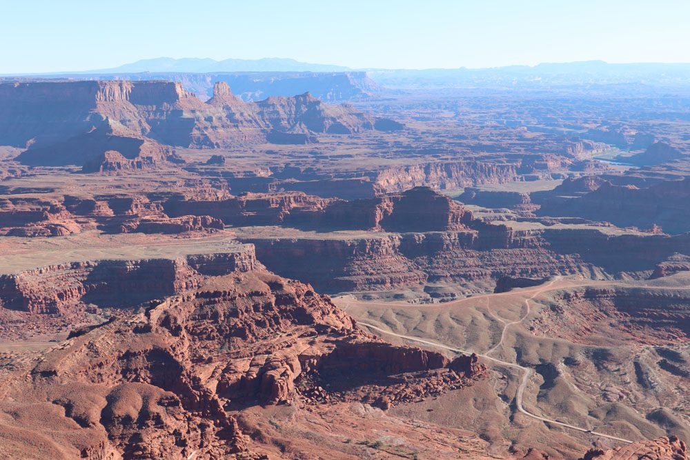
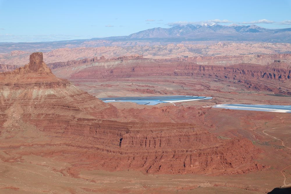
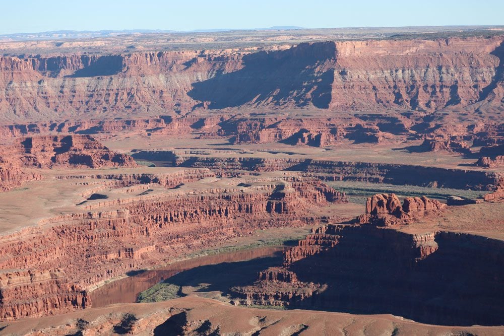
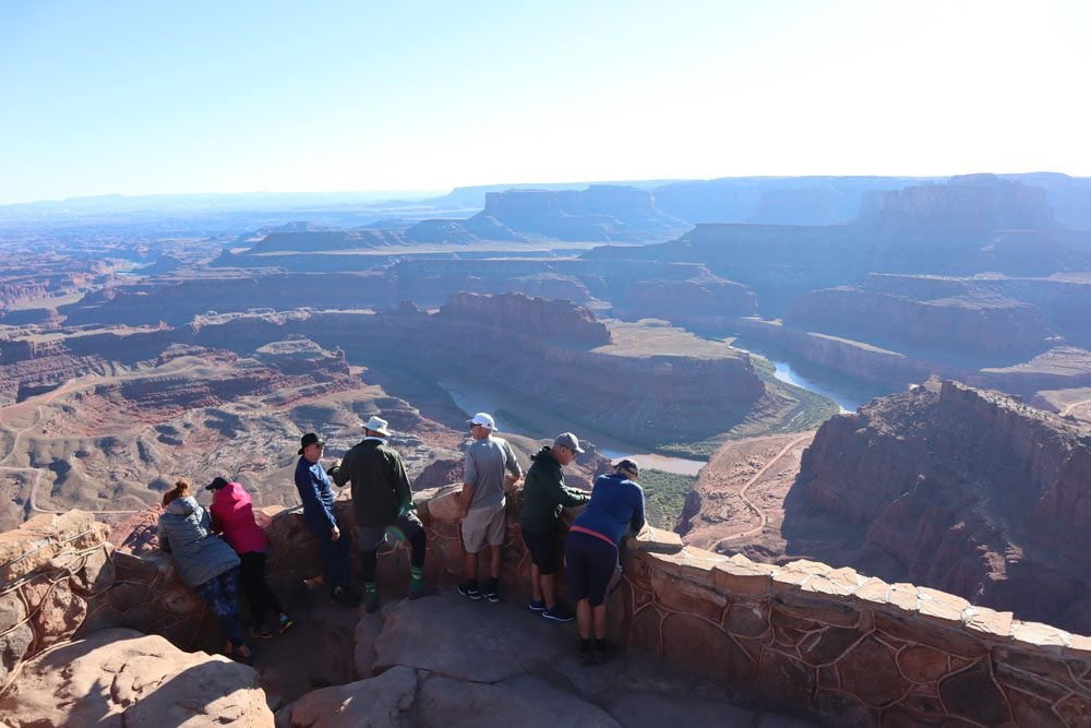
Many Island in the Sky visitors head to Dead Horse Point to watch the sunset. Beat the crowds and secure your spot in the small parking lot.
Evening: Dinner in Moab
It takes about 45 minutes to drive from Dead Horse Point back to Moab. After such a long and action-packed day, celebrate your achievement with dinner in town. Head to the Blu Pig for some barbecue in their sports bar or restaurant, Miguel’s Baja Grill for excellent Mexican cuisine, or Singha Thai Cuisine for a surprisingly authentic taste of Southeast Asia in the most unexpected of places.

What’s Next?
On this one day in Canyonlands National Park itinerary, we focused on the park’s most accessible and rewarding district for those with just a day to spend. Explore more Canyonlands travel resources, including an itinerary for two or three days in Canyonlands NP. Also, check out additional travel guides to the region if you’re visiting other parts of Southern Utah.

Pin These Images To Your Favorite Boards


