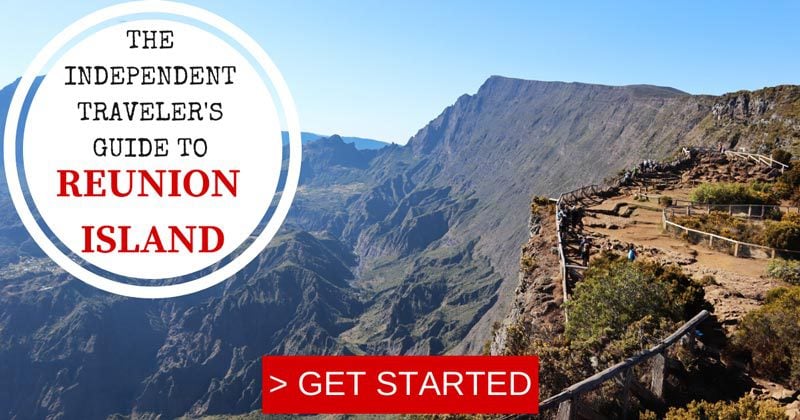
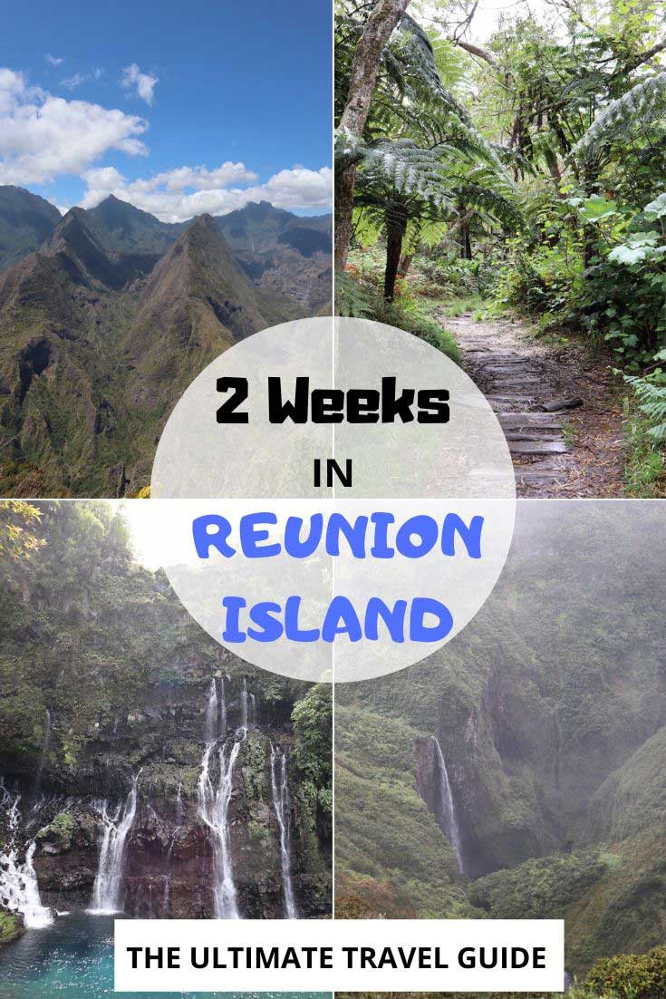
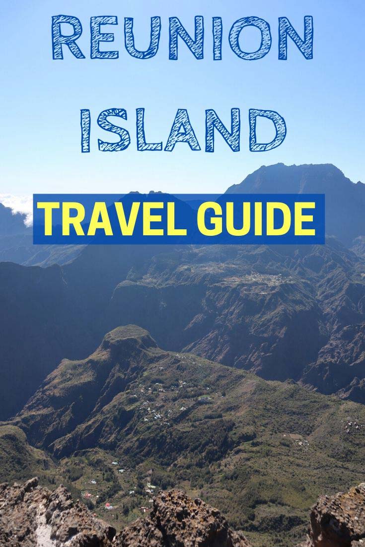
2 Weeks in Reunion Island Itinerary
Part 4: Three Days In Cirque De Salazie, East Coast And Cirque De Mafate
The last section in this two weeks in Reunion Island itinerary uses Cirque de Salazie as a base for exploring the neighboring Cirque de Mafate and Reunion Island’s lush east coast.
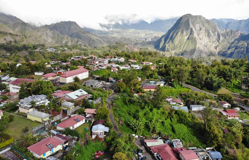
About Cirque de Salazie
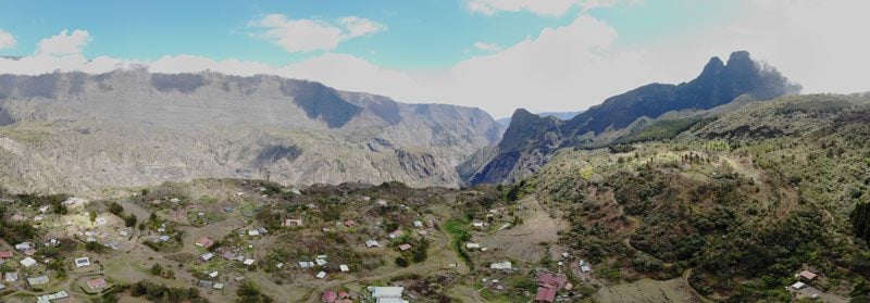
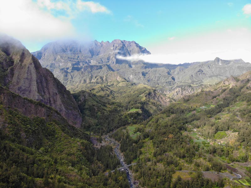
Like the other cirques on the island, Cirque de Salazie formed when the magma chamber of Piton des Neiges collapsed, but unlike the other two cirques, the opening of this cirque directly faces the trade winds blowing from the east and traps much of the moisture inside. With an annual average rainfall that nears 5m in certain sections, it’s no wonder why Salazie is so green. In cyclone years, it has even received 6 meters of rain over a two-week period!
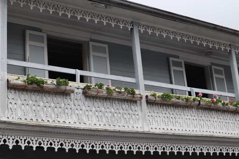
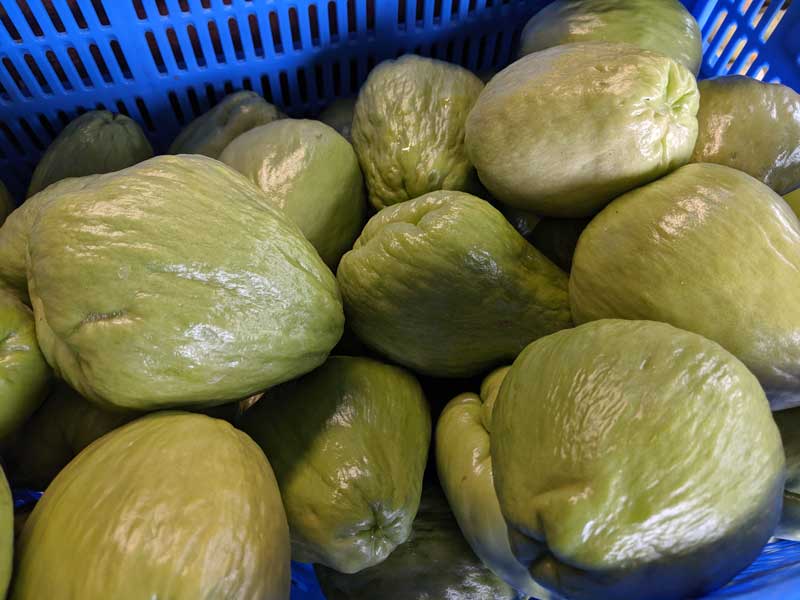
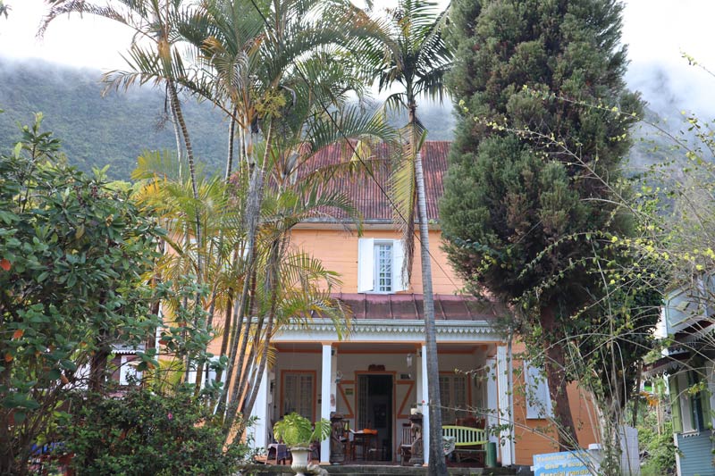
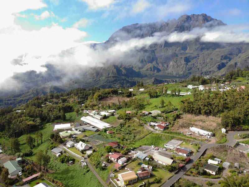
Thermal springs near Hell-Bourg boosted tourism back in the day, but with the springs long gone, Hell-Bourg still attracts tourists thanks to its location and architecture. Known as La Case, the town’s colorful Creole houses are unique to the area. From simple homes to former mansions, their individual distinction comes from the lambrequins (ornamental trim) made of wood or metal with various designs. If in Cilaos they grow lentils, in Salazie, it’s the chouchou (a type of squash), used for everything, including salads, tarts, and medicines.
Where to Stay in Cirque de Salazie
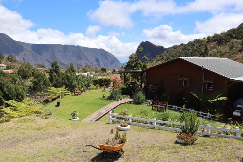
The best option is to base yourself around Hell-Bourg. We stayed at a vacation rental in the village just before Hell-Bourg, in a large two-story house that was split into several units. We rented the largest one, but it’s not available for rent at the moment. However, some of the smaller ones are, like this one. All units are fully furnished, and the location is great, just 10 minutes from Hell-Bourg. The views aren’t bad, either. From the backyard are the cirque’s enclosing ridges, and from the front, you can spot a very nice waterfall right across the road. For a more pampering stay, check out the Relais des Gouverneurs and for a simple experience, the Annexe Piton D’Anchaing.
Here’s a list of all Hell-Bourg and Salazie accommodations that you can book online on booking.com.
Day 12: Hell-Bourg and the East Coast
Still recovering from the soreness of climbing the volcano, we’ll use this day for a relaxing road trip. After checking out Hell-Bourg, we’ll drive out of the cirque and visit two spectacular wet spots before exploring the charms of the east coast of Reunion Island.
We’ll head on a memorable hike tomorrow but if you feel like hiking in the cirque on this day as well, consider the hike from Hell-Bourg to the Belouve Cabin (from where you can continue to the Trou de Fer waterfall as described on day 10), the Piton d’Anchaing trail, or the Hell-Bourg to Source Manouilh hike.
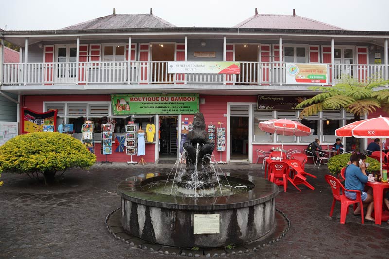
Exploring Hell-Bourg
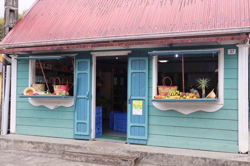
Use the morning for a trip to Hell-Bourg to stock up on groceries and sandwiches for a picnic lunch. Walk around the main street and check out the pastel-colored Creole houses. A signposted lookout offers panoramic views of the region just before the town’s entrance. If there’s extra time, see if the Maison Morange, the local museum dedicated to musical instruments from around the Indian Ocean, has reopened.
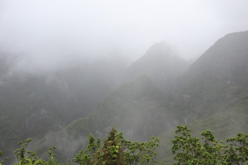
Takamaka Lookout
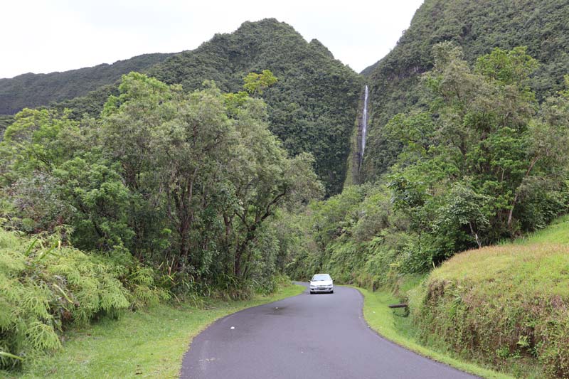
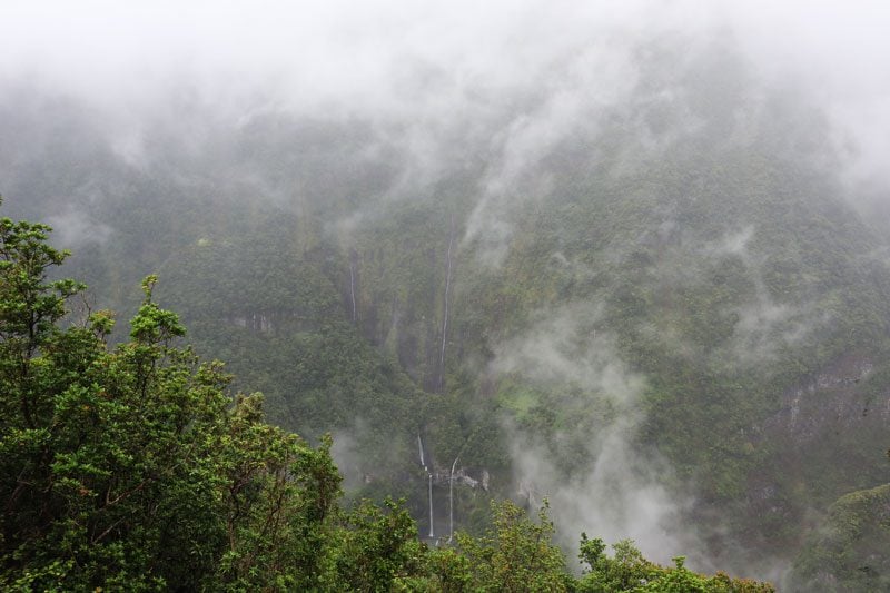
The D53 road heads inland from the coast to the wettest spot on Reunion Island. The roadside waterfalls hint at what’s ahead, but when you reach the Takamaka Lookout, you’re simply left speechless. The Takamaka Valley drains an enormous amount of rainfall. With 6-7 meters of annual rainfall, it is one of the wettest places on Earth! And with all this rain come waterfalls, falling like tears from the cloud-covered heavens. Starting in the 1960s, the French government put the rainfall to use, constructing several hydroelectric power plants dug into the mountain. Be sure to arrive early in the day when there’s a greater chance of clear skies.
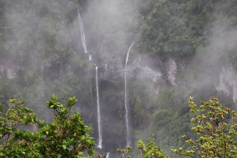
The Takamaka Lookout is also the starting point for a number of trails. You can hike from here to the forestry road that heads to Tour de Fer and the Bebour cabin and also embark on a very challenging (and likely wet) hike to Ilet a Bananes. The Takamaka Valley is also renowned for its canyoning options for thrill-seekers.
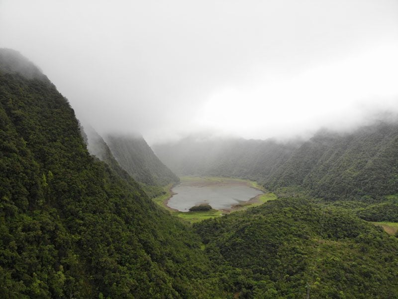
Grand Etang
Another worthwhile detour from the coastal road is to Grand Etang, a high-altitude lake almost entirely surrounded by emerald peaks, very reminiscent of Lake Vaihiria in Tahiti. The valley in which the lake resides is parallel to Takamaka. A path circles the lake with a few picnic areas along the way.
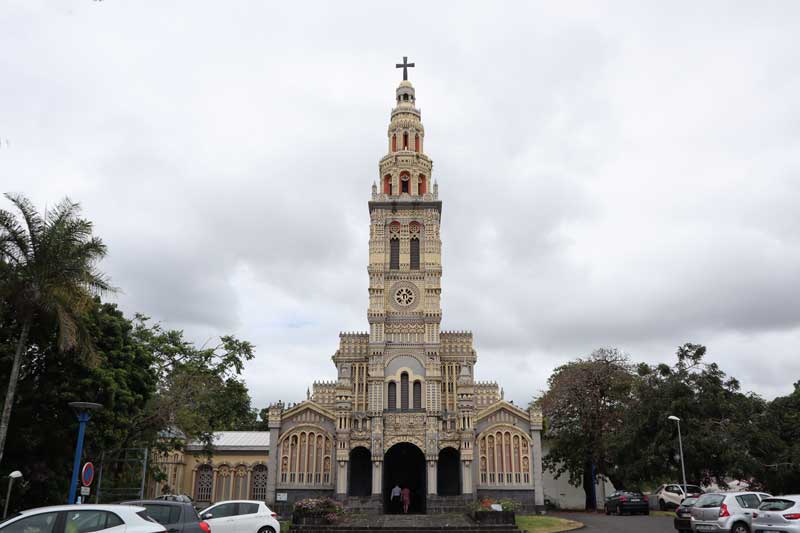
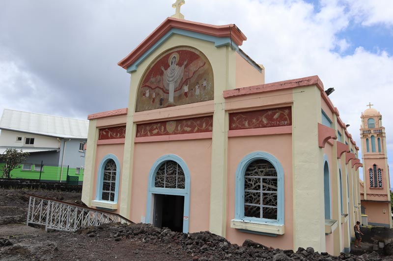
Sainte Anne’s Church
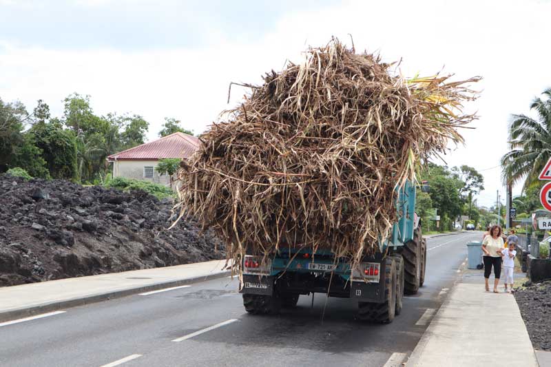
If you’re tired of slowly driving behind a tractor carrying a load of sugar cane to the processing plant, stop for a quick stretch at St. Anne’s church in Saint-Benoit and check out its interesting facade.
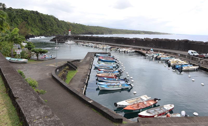
Sainte Rose
The last major settlement before the lava field, Sainte Rose’s harbor is a picturesque spot that also holds historical significance, serving as the site of a major battle fought between the French and English in 1809. A small cafe and restaurant overlook the harbor.
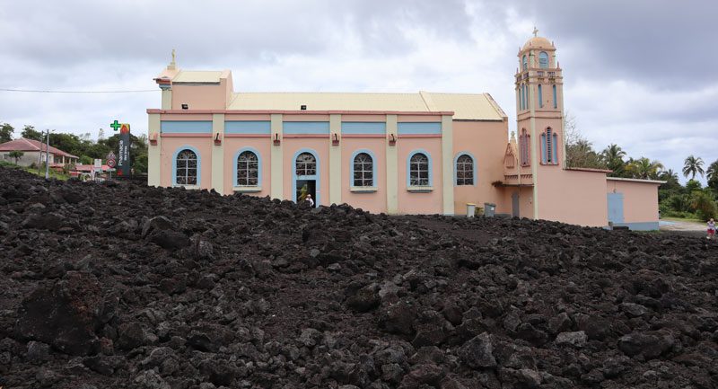
Notre Dame des Laves
Further south, Notre Dame des Laves is of peculiar (or divine) interest. In 1997, lava trickled from the volcano and paid its respect to the church by flowing around it on both sides. Considered a miracle by locals, it’s worth a quick stop.
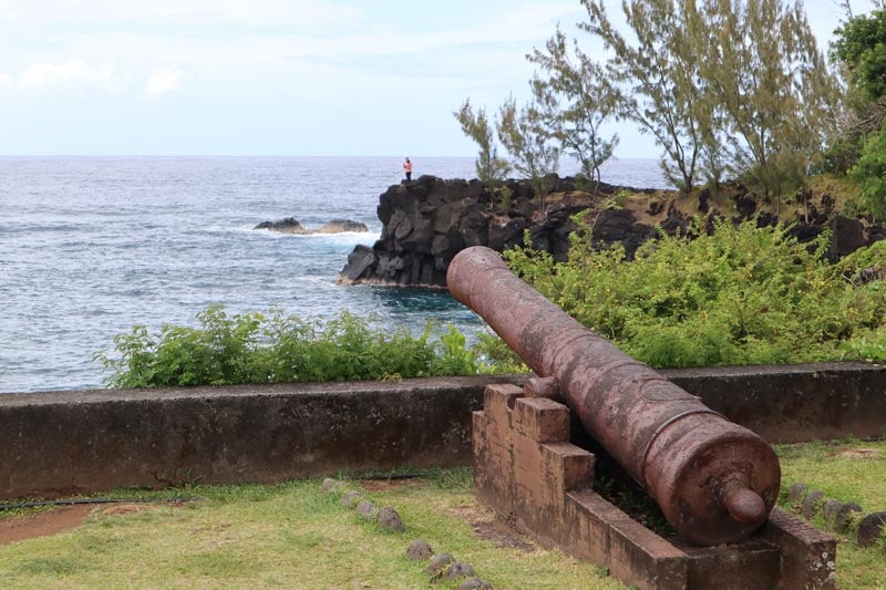
Sainte Rose to Cap Mechant (Optional)
If you’re doing well on time, continue heading south and drive over the lava plain known as Grand Brule. When Piton de la Fournaise is active, this is the direction in which the lava flows. In such periods, road sections are closed, and repairs are needed if the lava makes it to the ocean. At Pointe de la Table, a headland was created from the 1986 flow, and at Puits Arabe, you’ll find a lovely picnic area surrounded by unique trees. You can start heading north from here or continue to the southernmost point on Reunion Island at Cap Mechant.
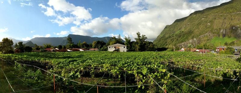
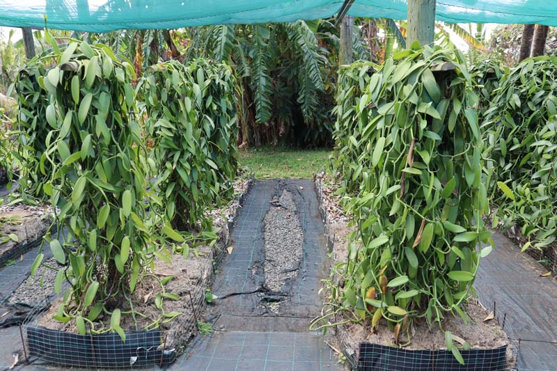
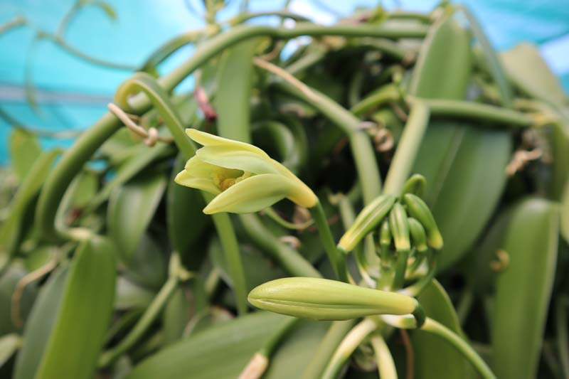
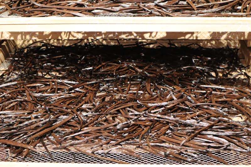
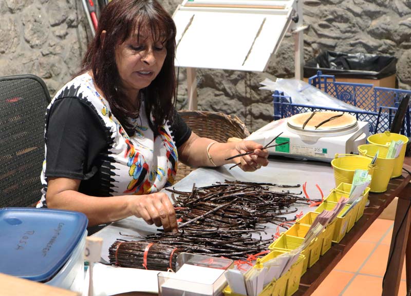
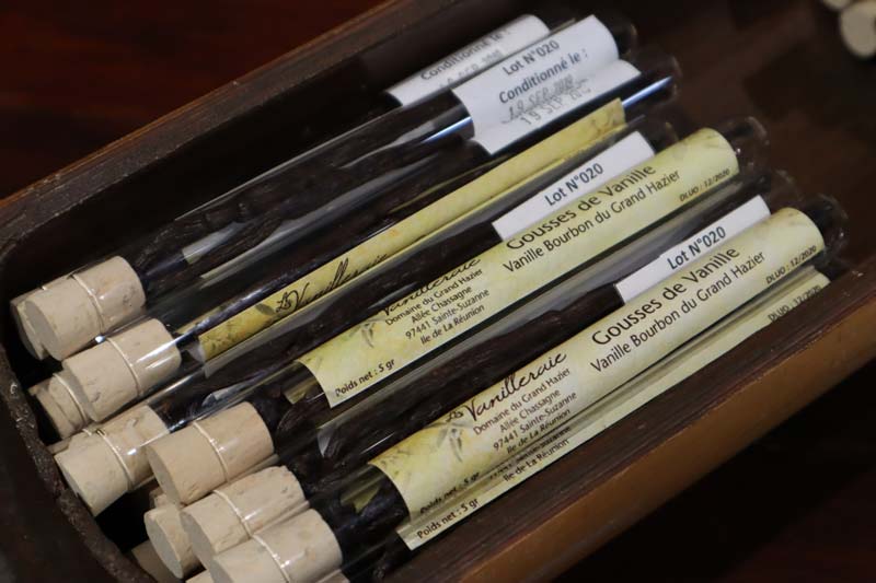
Domaine du Grand Hazier Vanilla Plantation
Before returning to the cirque, it’s worth learning about Reunion Island’s vanilla industry. Most of the action takes place between Bras Panon and Sainte Suzanne. Vanilla was brought to the island from Mexico in the early 19th century, but only in 1852 did it become commercial, roughly ten years after a 12-year-old slave discovered how to pollinate vanilla manually (he was freed as a reward).
Head to Cooperative Pro Vanille if you don’t want to stray too far from the cirque, but for a better experience, head slightly further north to Domaine du Grand Hazier (call ahead for English-speaking tour times). The estate has been around since the late 17th century, and its various crops over the years tell the agricultural tale of Reunion Island’s search for a “gold crop”. First, it was coffee, then sugarcane, and now vanilla. At around 1,200€ per kilo, this is the closest thing to gold that can be grown naturally. The tour takes you around the facility and explains the long process that it takes to get the finished product.
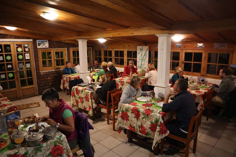
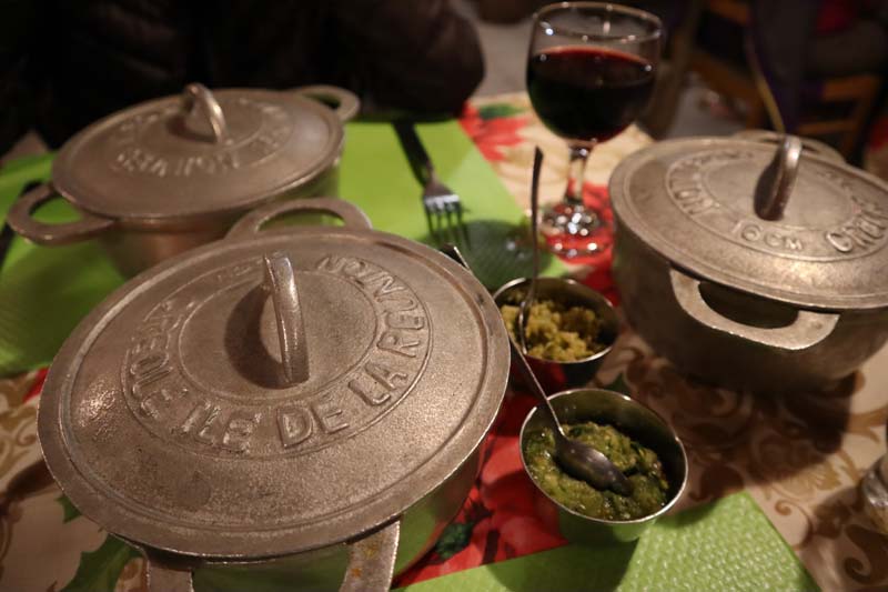
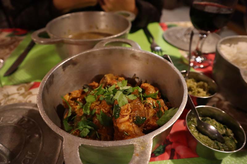
Dinner in Hell-Bourg
For a cozy Creole dinner, head to Chez Alice in Hell-Bourg. Set in a Creole house, the traditional food is outstanding (and spicy) and served in a typical metal pot. If you fancy something else, they have a rich menu to choose from.
Day 13: Hike to Cirque de Mafate
The last full day of our Reunion Island itinerary reaches another climax with one last hike, this time into the island’s most remote cirque.
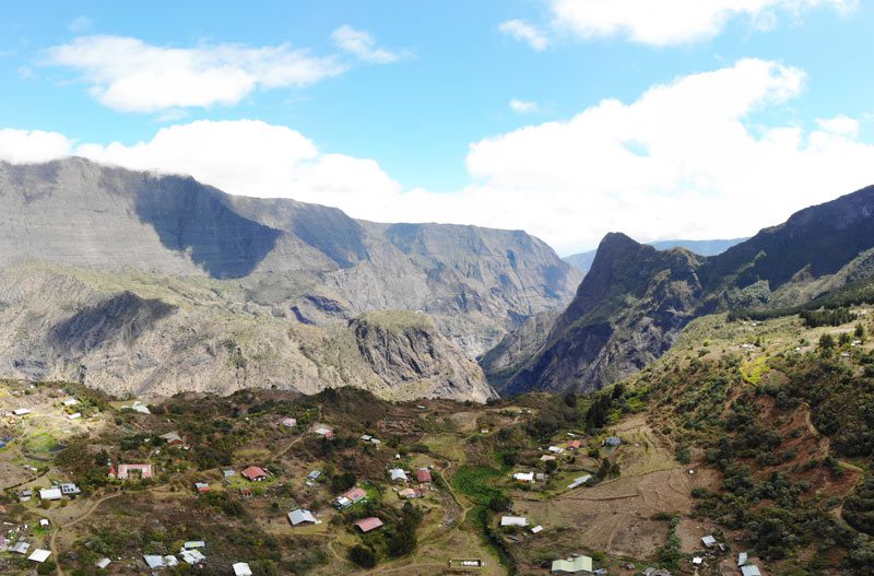
About Cirque de Mafate
With no roads linking it with the outside world, Cirque de Mafate is the most inaccessible part of Reunion Island. It’s home to a few picturesque hamlets with a small population that lives off the grid. The cirque is completely enclosed by the ramparts of the former magma chamber that created Piton de Neiges, and the only way to carry supplies is either on foot or by helicopter. Essentially, Cirque de Mafate is an “island within an island”, a place of extreme beauty and serenity.
Scenic Drive to Grand Ilet
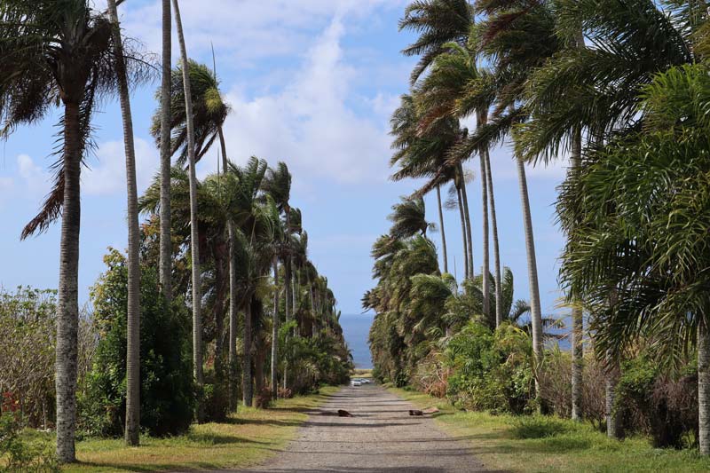
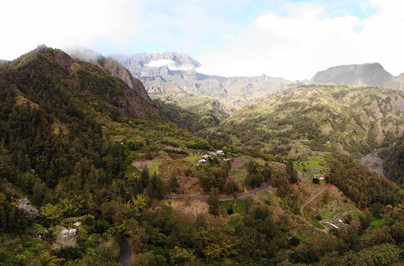
The drive from Hell-Bourg to the hamlet of Grand Ilet is what we’ve become accustomed to so far in the cirques. The village is close to the top of the ridgeline that separates Cirque de Salazie from Cirque de Mafate. It feels like the end of the line around here or, at the very least, a drive somewhere in the countryside of the Alps.
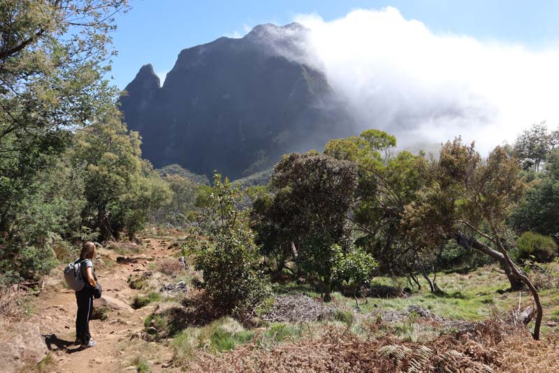
Hike from Col de Boeufs to la Nouvelle
This hike into Cirque de Mafate was our most enjoyable one (and we hiked a lot…). It felt like it took us between two parallel universes, and the weather added to the feeling. From Grand Ilet, it takes about 20 minutes to get to the car park at Col de Boeufs via a series of bends on the forestry road. It was completely cloudy on the drive, and it seemed there was no point in attempting the hike. Nonetheless, we kept driving, hoping Reunion Island’s microclimates would change our luck. There’s a paid parking lot for those overnighting in the cirque, plus a small kiosk, but you can park for free on the roadside just before.
We left the car park at 9 am and walked in the clouds toward the pass. Along the way, we saw cars parked. Those belong to locals living inside the cirque. To run their errands, they must hike out of the cirque and back in with all their groceries… We reached peak altitude at Col de Boeufs (2,011m) and started our descent into Cirque de Mafate.
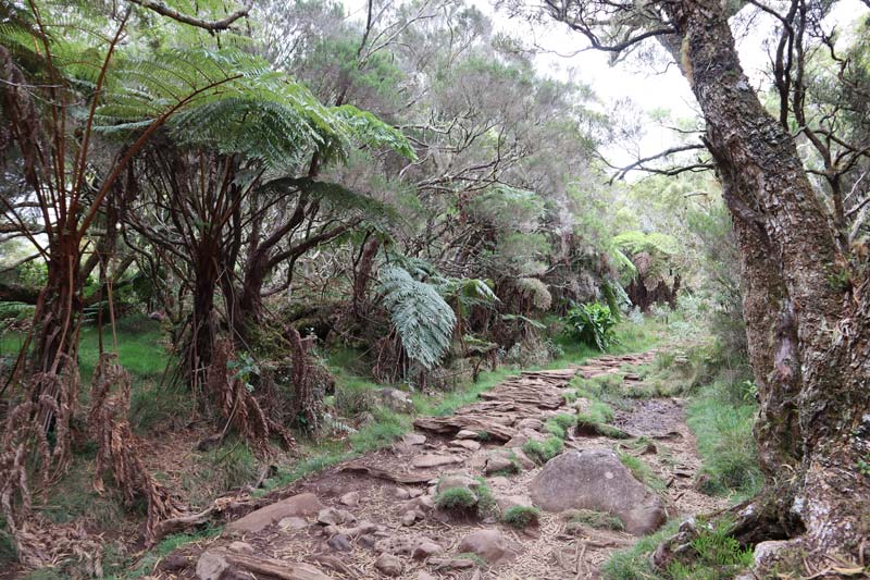
Hiking Down to the Cirque
In a matter of minutes, the weather began to change completely. It’s incredible how just a few meters in altitude make all the difference in Reunion Island. Suddenly, it was sunny and dry, the complete opposite of the weather in Cirque de Salazie on that particular day. The mud on the trail turned into dust, the clouds gave way to the sun, the sound of the wind to the sound of birds, and our concerns turned into smiles.

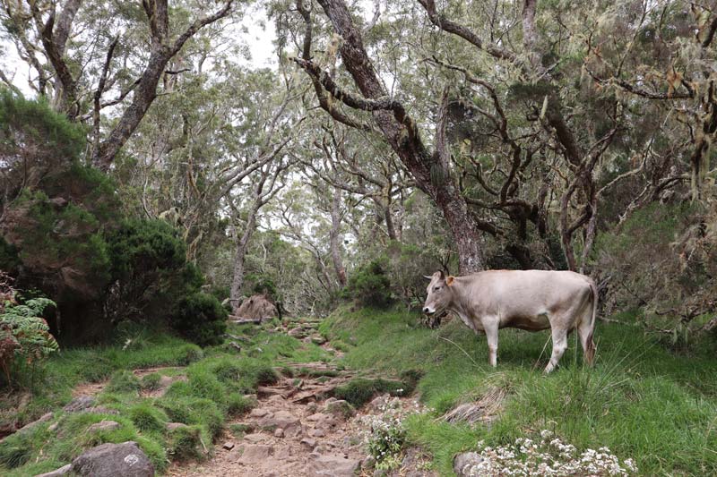
Marla or La Nouvelle
Halfway down, the trail splits, and you can hike to Marla, considered one of the most beautiful hamlets on the island. We continued to La Nouvelle and shared the road with the odd cow. No wonder they call this area Col des Boeufs.
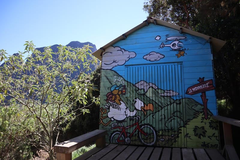
La Nouvelle
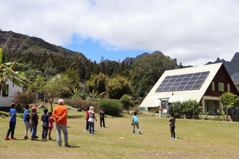
It turned out to be a busy day when we entered La Nouvelle, as helicopters were busy flying in construction supply. The village’s true soundtrack can be heard when they’re gone: a mix of chickens and birds. Every house has a small vegetable plot, and most have solar panels on their roofs. It was interesting to observe the weather from down here. The interior of the cirque was completely spared from the clouds covering the ridgeline.
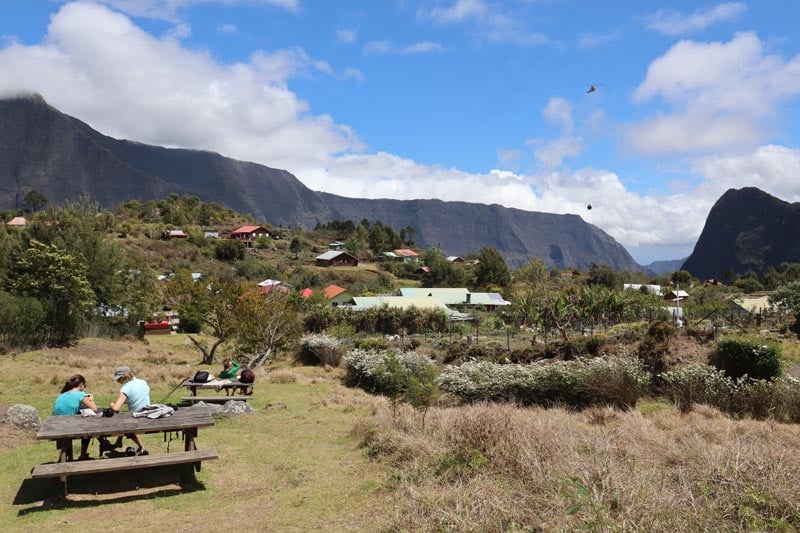
We continued walking through the village, taking in the church and the local school children of mixed ages playing together in sports class. The village does cater pretty well to tourists. There are a couple of restaurants and shops, guesthouses, and even WiFi. Though picnic options are abundant, we stopped in one of the restaurants and took the time to digest the sites and sounds. I realized that the folks living here can’t even see what’s happening in the outside world as they live inside a bowl. They never get to experience a sunrise or see the sunset into the ocean.
Hiking Back to the Trailhead
Like all hikes in Reunion Island’s cirques, what goes down must come up. It was time to hike back up to the “real world” and allow La Nouvelle to return to its natural state of isolation. We left the village at 12:30 and were back in the car at 14:30. The weather at the top had not changed…
Logistics
Distance – 11km (return) | time: 5.5hrs (including lunch break)| difficulty – medium | more info. Bring – snacks, cash, prepare for rain and sun, walking poles if your knees take a beating, water, change of clothes, cash (some places accept cards), and lip balm.
Dinner in Hell-Bourg
For our final dinner, we headed back to Hell-Bourg and dined at Ti Chouchou on the main street. It’s a typical Creole restaurant with very minimalistic interior decor and lighting, but the food was not bad. Their specialty is dishes made with chouchou (a type of squash), the staple crop of the cirque.
Day 14: Flight Back Home or to Next Destination
It was sadly time to drive to the airport and bid farewell to Reunion Island. We drove a total distance of 1,322km on this trip, and it was an absolute pleasure. If your flight leaves later in the day, you could use the last few hours to check out Saint-Denis and do some shopping (see day 1 itinerary for more details). Should you have holiday time, consider flying from Reunion Island to nearby Mauritius or slightly further to Seychelles.
What’s Next?
If you’ve made it this far, congratulations! You are definitely ready for your own visit to Reunion Island. I hope you’ve found this two weeks in Reunion Island itinerary useful. This is a destination I have no doubt I will return to. Every day on this trip offered a new experience, and the fact that relatively so few tourists make it out here can remain our little secret. Be sure to check out the rest of the Reunion Island travel guide collection, including essential travel tips and lots more.
Pin These Images To Your Favorite Boards!