Gambier Islands Travel Guide
Things to See and Do in the Gambier Islands
This section of the Gambier Islands Travel Guide covers the archipelago’s top sites.
Keep in mind that your pension hosts will likely also offer special excursions such as lagoon tours which include snorkeling and a picnic lunch on one of the motu, as well as whale watching tours (in season).
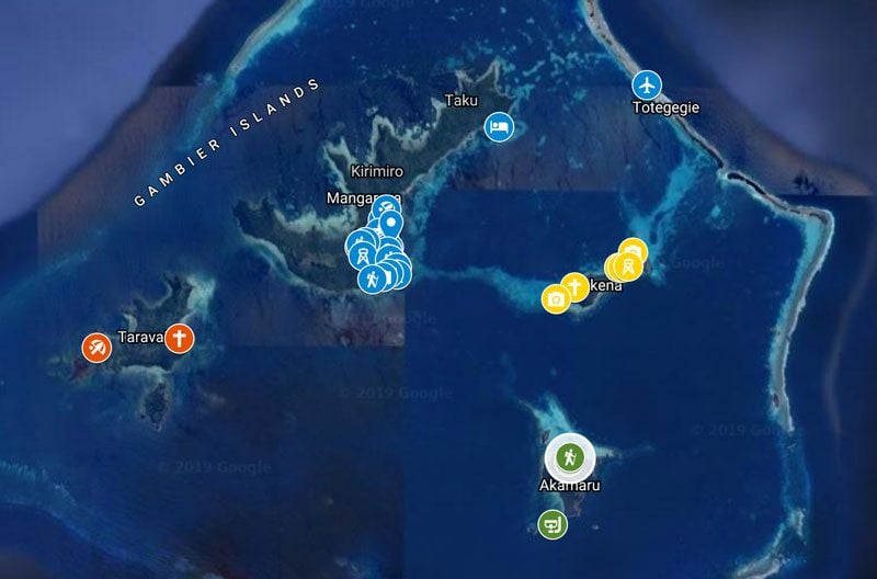
Follow the sites mentioned in the following section on this interactive map. Simply click on the image to open it in Google Maps.
The Lagoon
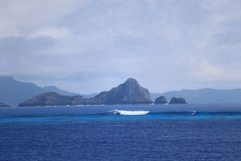
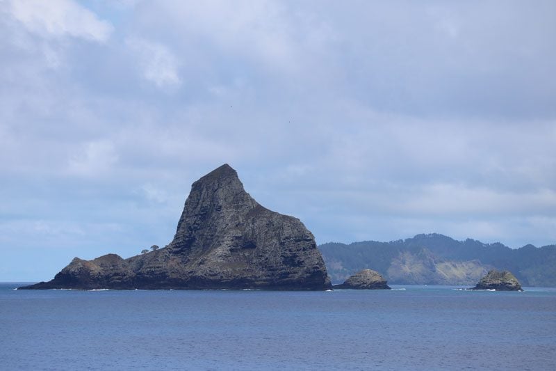
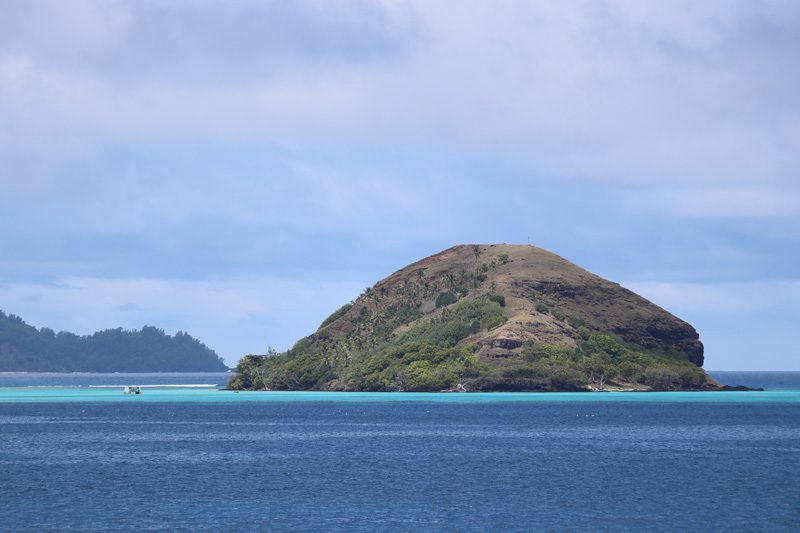
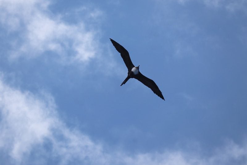
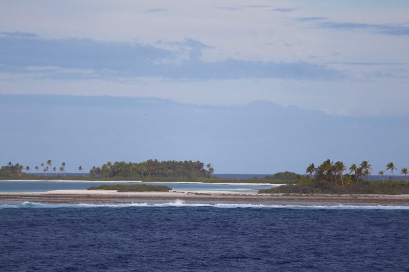
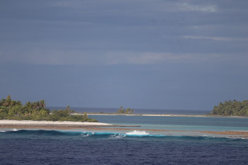
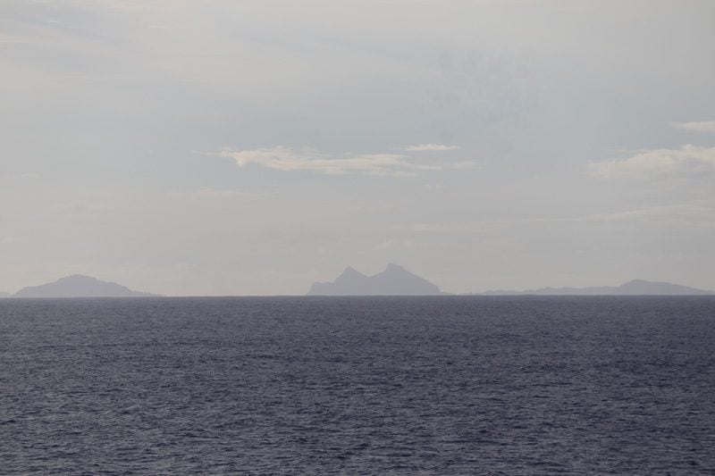
The lagoon surrounds all of the Gambier Islands but one (Temoe Atoll). It is one of the largest lagoons in French Polynesia. It is partially submerged in certain sections, making navigation in and out a task for the pros. As you cruise the lagoon, the archipelago’s heavily eroded and submerged islands are clearly visible, and it isn’t unusual to spot typical Polynesian birds riding the thermals.
Sunsets
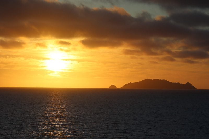
The sunsets in the Gambier Islands are among the best you’ll see, that is if the weather cooperates. The immense lagoon and its shallow waters work hand-in-hand with the setting sun in deflecting its westward-headed rays.
Mangareva
Mangareva is the largest island in the archipelago and home to most of the population. Its main village is Rikitea, the administrative capital of the Gambier Islands. Like many islands in Polynesia, legend has it that the demigod Maui pulled Mangareva out of the ocean.
Rikitea Village
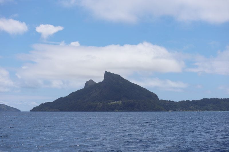
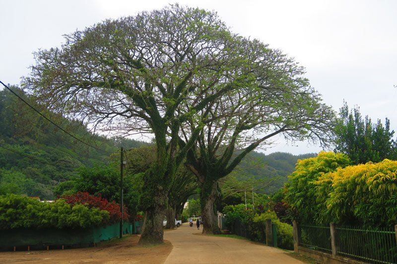
There isn’t much happening in the village itself but, for the locals, it’s as central as it gets. The main road is lined with century-old oak trees known locally as Koueriki, rows of tree-baring fruit and colorful flowers. There’s a medical center, police station, community hall and a small number of kiosks. By the pier, there is a very small beach and a restaurant which is not open most of the time.
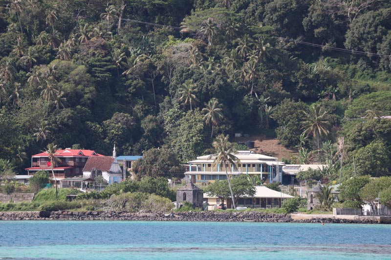
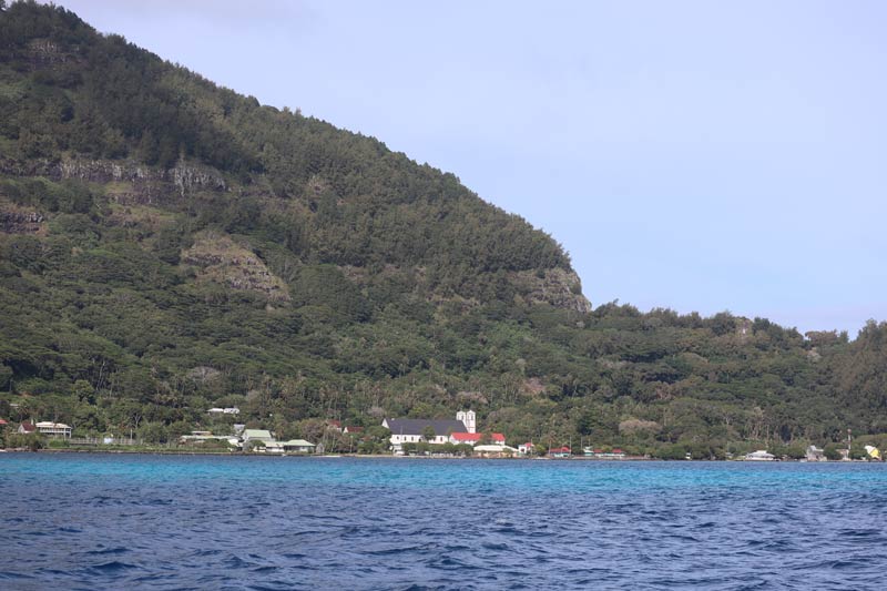
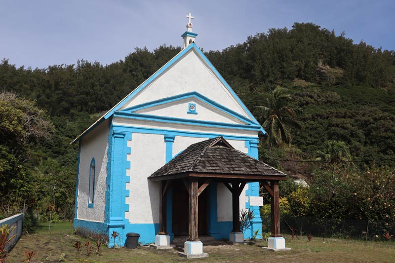
The prettiest site in the main village is the St. Anne Chapel. It measures just 7X7 meters and was built in 1847. Apparently, there is also a Laval-era prison with just two cells somewhere around the village but I could not manage to find it.
Belvedere Scenic Lookout
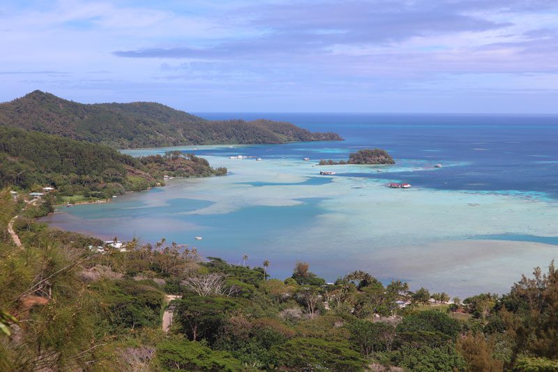
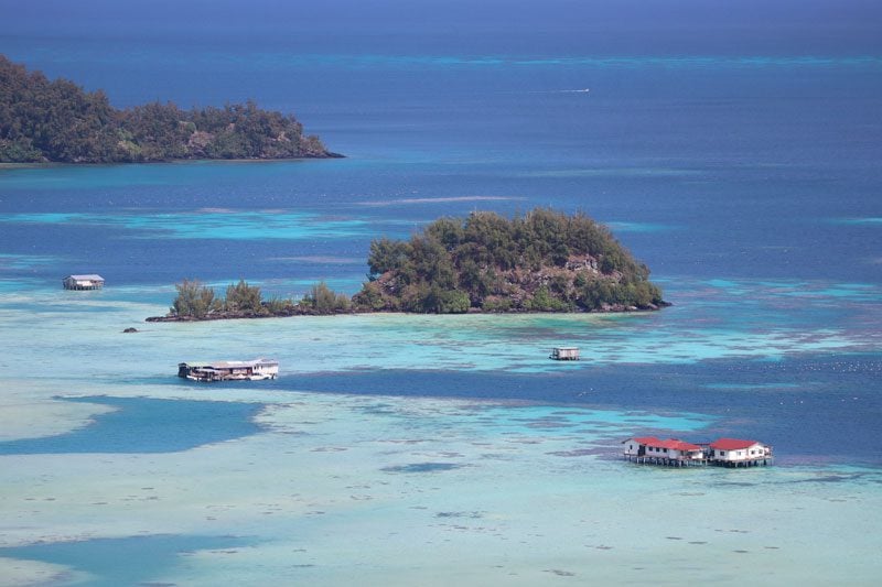
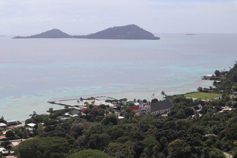
Before reaching the St Michael’s Cathedral on the outskirts of Rikitea, a road cuts to the other side of the island. After one of the bends, you’ll see signs pointing right to Belvedere de Piiti. Climb the boulders and enjoy awesome views of the village and beyond. Around this section of the cross-island road, lie the remains of an ancient temple known as Rauriki marae but I could not locate it.
Hike to Mount Duff
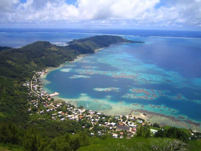
Originally named Manha Reva (moving mountain), Mount Duff is the highest peak in the Gambier Islands at 441 meters. It is named after the ship which carried the first Christian missionaries who ‘rediscovered’ the island in 1797. The peak is also referred to these days as Mont Auorotini and is reached via a well-marked trailhead.
It takes about 1.5 hours to reach the summit of Mount Duff and about 45 minutes to get back down. After periods of rain, the last section is extremely slippery. If it is a cloudy day, it is not worth climbing as you will not see anything from the top (you’re better off just visiting the Belvedere). Be sure to bring plenty of water and snacks because, by the time you make it back down, shops might be closed for the day.
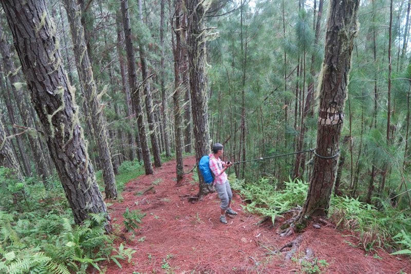
The hike begins in a thick forest and, after a few hundred meters (approx 25 minutes), splits into two, with the left trail to Mount Duff and the right trail to Mount Mokoto (423m), which can also be hiked. The hike to the summit of Mount Duff is a constant climb and rope-assisted in certain sections. Close to the summit, we encountered wild raspberries, which alleviated some of the pain from the climb and from the thorny bushes we had to manage through.
Apart from the hike to the summit of Mount Duff, several other hikes can be attempted on Mangareva Island. Check out this useful website for additional hiking options.
St Michael’s Cathedral
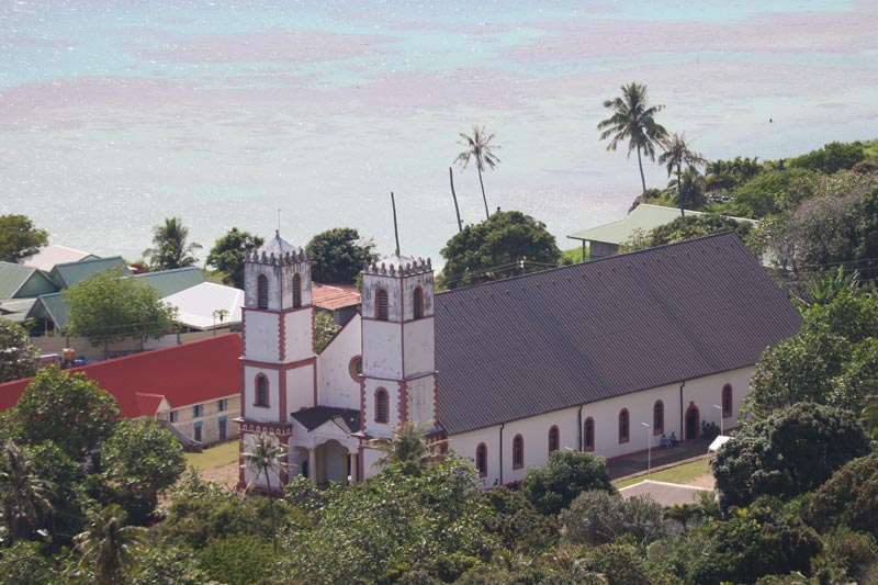
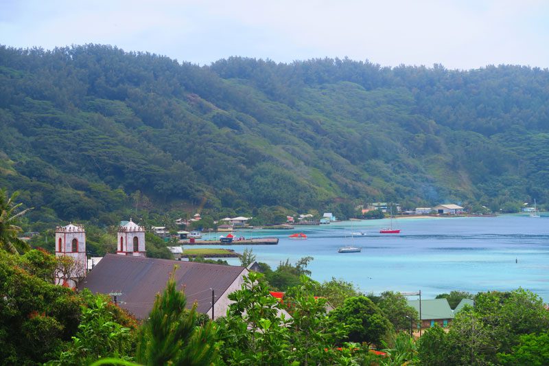
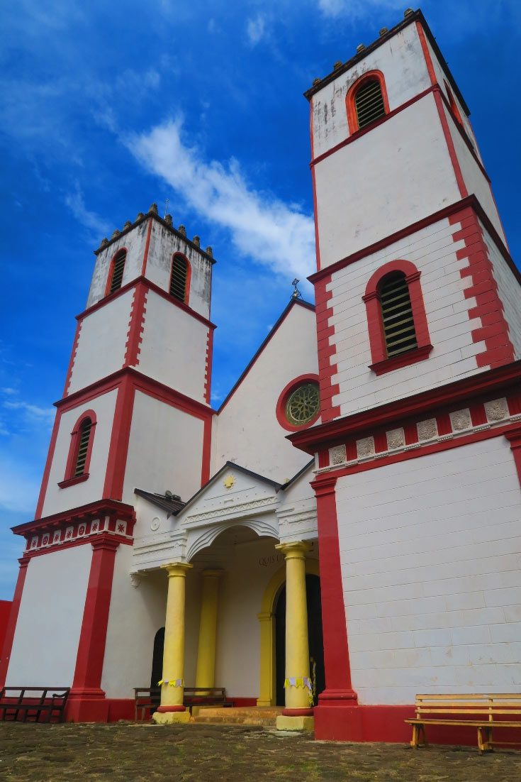
This is by far the main attraction in the entire Gambier Island group. Neighbored by a giant breadfruit tree, this is the crown achievement of Laval’s megalomanic construction frenzy. Measuring 48 meters in length by 18 meters in width and 21 meters in height, it is the largest church in the South Pacific! It can seat up to 1,200 worshippers and measures three times the size of the Notre Dame Cathedral in Papeete.
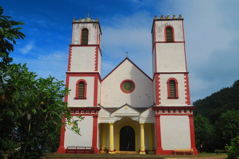
The construction of St Michael’s Cathedral bears a tragic story. Not only is this mega structure completely unnecessary considering the size of the population and the landscape, it is also situated over the site of an important ancient Polynesian temple (marae) and its construction is estimated to have cost the lives of 5,000 islanders.
Built in record speed between 1839-1841, Laval’s intention was to be able to gather the entire population under a single mass. Laval managed to convince the local chief, now King Maputeoa, of its necessity by using its construction to also erect the nearby palace. The cathedral is built entirely out of coral stone and lime from a quarry 16 km from Rikitea. The cathedral is supported by 18 coral stone shaded by a domed ceiling that was originally woven from reeds and covered in lime chalk until a copper roof was later installed. In 1848 two bell towers are added and in 2011, the cathedral was painted red and white, replacing the traditional royal colors of azure blue.
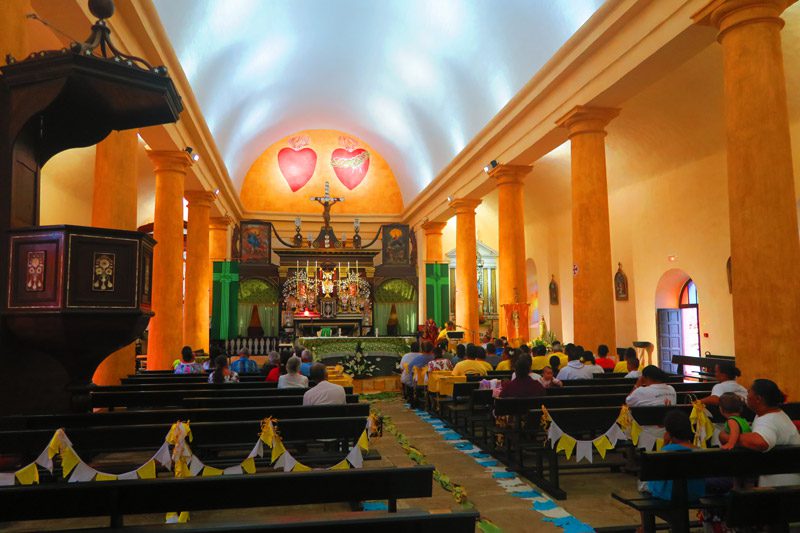
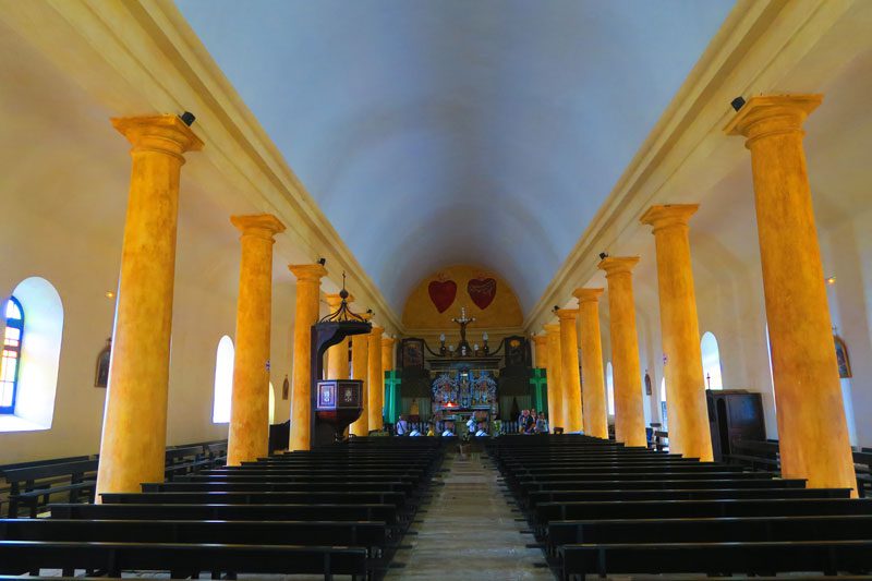
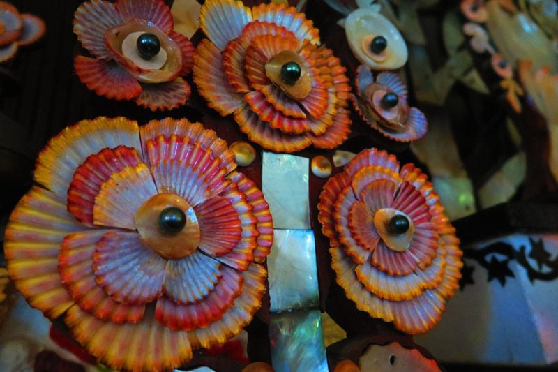
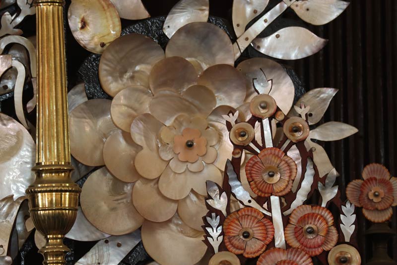
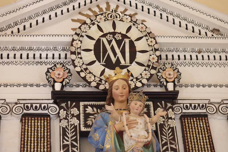
What is especially striking about the cathedral (apart from the overbearing heat) is the decoration of its prized altar. Adorned by hundreds of black pearls and mother-of-pearl shells, there is nothing quite like it anywhere in the Pacific. Originally, the altar was adorned by a 50-carat black pearl given to Laval by King Maputeoa. When Laval was ordered back to Tahiti in 1871, he had the massive pearl shipped to Rome where it is now part of the secret Vatican collection, rumored to be the finest pearl in the Pope’s collection.
The Bishop’s House
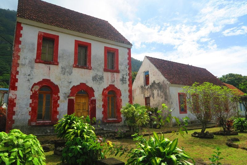
Right across from the cathedral, this two-story house with an attic has three windows and currently houses Rikitea’s priest. The structure was restored in 1995 and currently bears the same colors of the cathedral, though both were originally painted in the royal colors of azure blue and white.
Royal Fermentation Pit
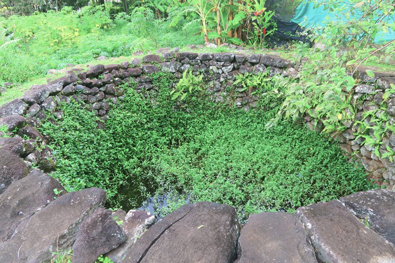
A giant stone pit that was used to ferment breadfruit and store it for times of crisis. The management of the island’s emergency food supply was always the prerogative of the high chief according to the traditional Polynesian hierarchy.
Abandoned School
Another missionary-era stone structure is currently closed due to unsafe conditions with no immediate plans for renovations.
King Maputeoa Palace
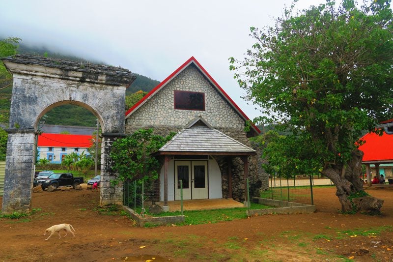
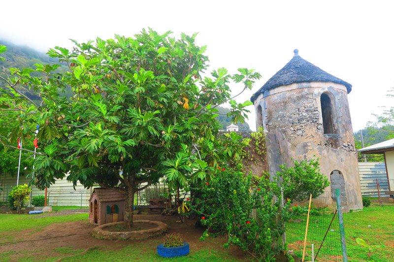
Now located in the middle of the playground of Rikitea’s primary school, the palace was built for King Maputeoa in 1850. You can explore the grounds by asking permission from the principal if the school is in session. On the grounds, you’ll find the royal fish pond which once housed fish and sea turtles, a grand arch that welcomed visitors, and a number of watchtowers used to protect the palace (from who?) and to communicate with other towers on neighboring islands. It is said that Polynesians rarely spent time inside the stone buildings which are uncomfortable in the humid island weather.
Crafts Center
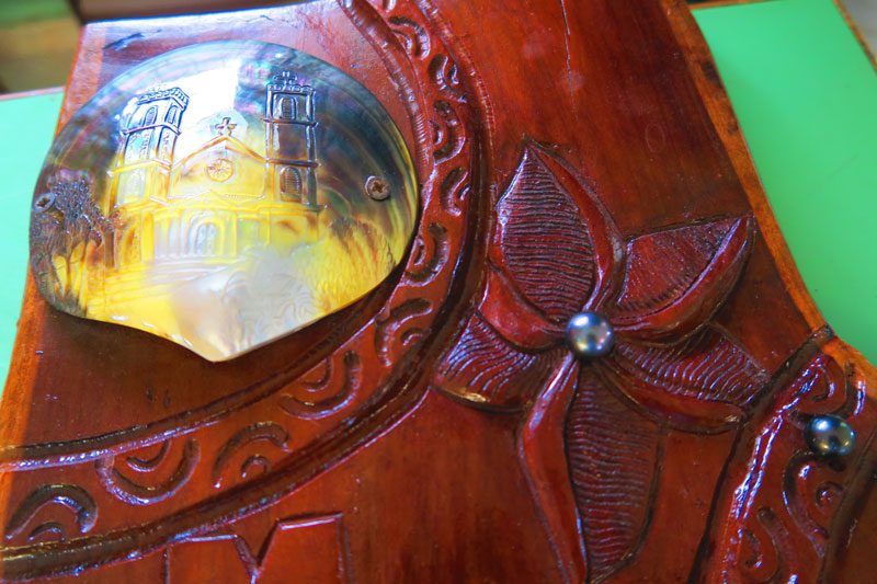
A lovely initiative that teaches local youth the art of carving mother-of-pearl shells that can no longer produce pearls. This is is a great place to buy some original souvenirs while helping fund the activities of the center (cash only). On the grounds of the center are a number of additional Laval-era stone structures.
The Hill to Atituti
From the cathedral, the paved road rises to the village of Atituti. It takes about 20 minutes to hike and, en route, you’re treated to beautiful views of the village and the cathedral. Along the way are a number of local homes and loads of fruit trees. It can be a difficult climb for some so feel free to hitch a ride. Be sure to have enough water and sun protection.
St. Pierre Chapel
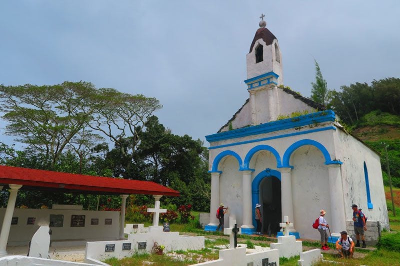
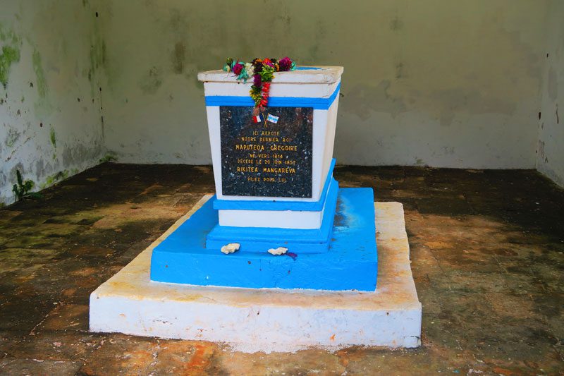
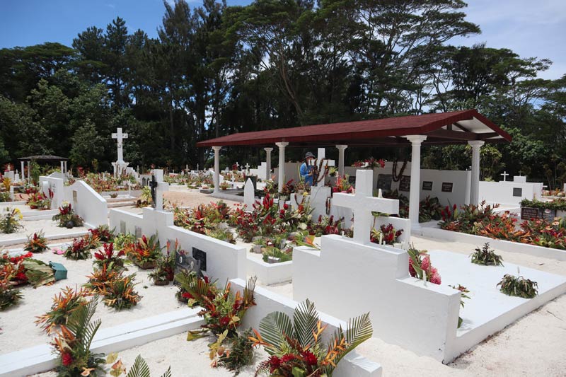
The picturesque local cemetery is also the home of King Maputeoa’s tomb and mausoleum. Baptized on Aug 25, 1836, at the age of 22 years, Maputeoa took on the name Gregorio Stanislas in honor of Pope Gregory XVI. He died in 1857 and was buried in St. Pierre Chapel, which was constructed in 1850.
Weather Station
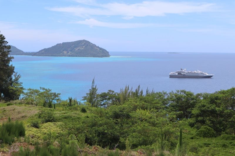
The local weather station doubles as a great scenic lookout over the lagoon and neighboring islands.
Queen’s Bath
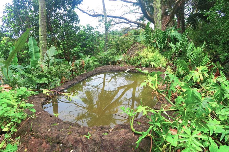
From the weather station, somehow cut inland and join the Sister’s Path (Po’atu o Kame), eventually leading to the Rouru Convent. Along the way, you should pass the Queen’s Pond on the left side of the trail. It was carved from a single rock that is said to have rolled down from Mount Duff. The pond measures 2X1.2 meters and has a depth of 40 centimeters. Local tradition says this pond never dries up, even in periods of drought. Its waters are said to have special purifying powers and in the old days, the souls of the dead would bathe here and later ‘cross’ the lagoon to neighboring Taravai Island before plunging into the ocean for a final rest.
Rouru Convent
After St. Michael’s Cathedral, the Rouru Convent is another site you cannot miss. Created in 1836 by Father Cyprien “for the promotion of women in the Gambier Islands”, the compound housed 60 nuns and 150 girls at its height.
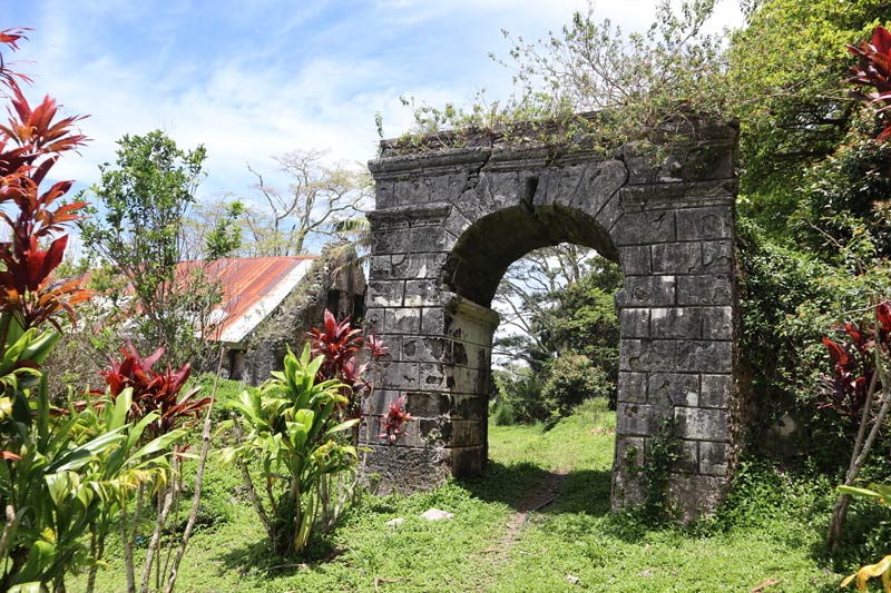
A huge stone arch marks the official entrance to the convent, where girls were free to enter but not to leave. This was especially true when outsiders visited the archipelago and the convent was used to shelter the female population from the troubles brought by whalers.
Life in the convent consisted of learning reading and writing coupled with laboring small plots of land. The compound consisted of a boarding house, the Chapel of Sainte Agathe and a small infirmary that served the entire island (even the former president of French Polynesia, Gaston Flosse was born here).
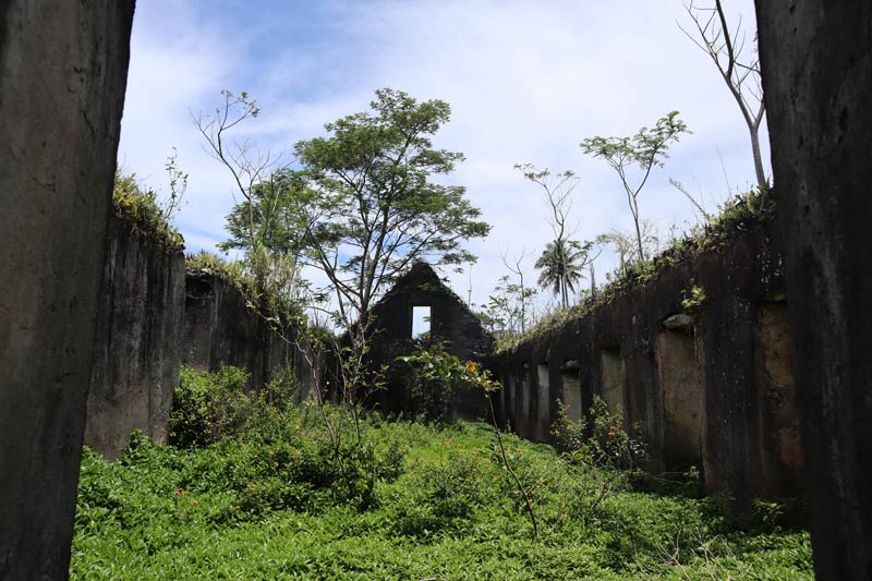
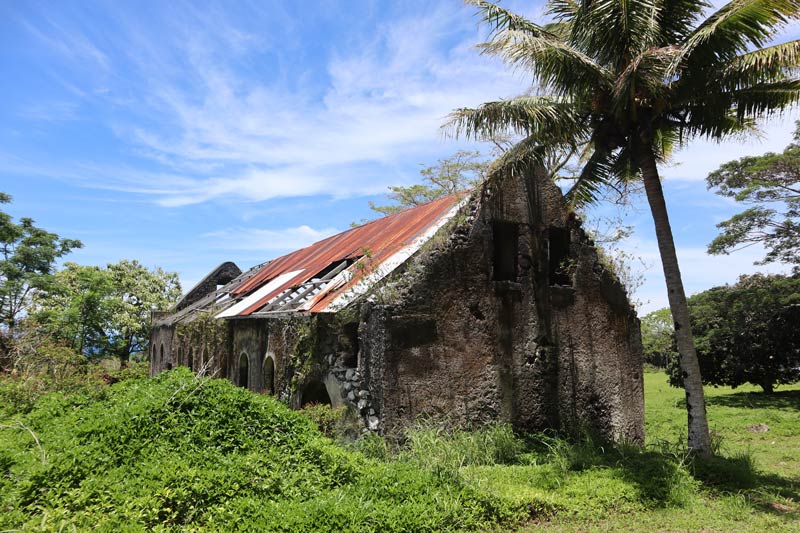
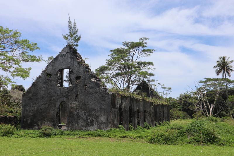
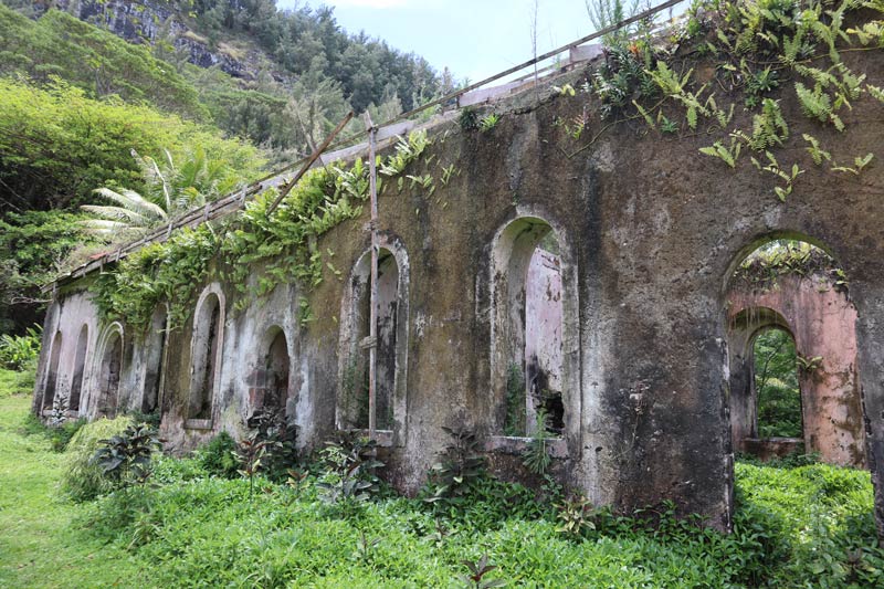
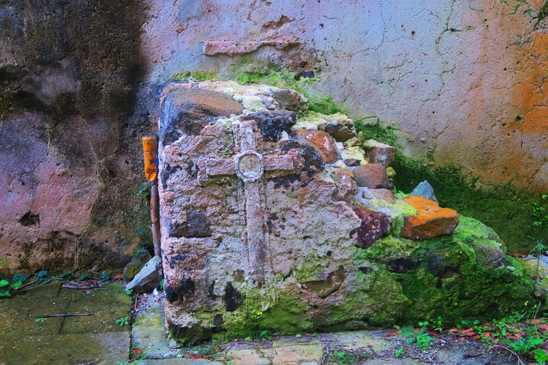
Just outside the boarding house are strange pits which are the cause of much speculation. They were either used as latrines (though they do not appear in any of the design plans and are far too close to the dormitory), breadfruit storage pits, or perhaps tanks to store water.
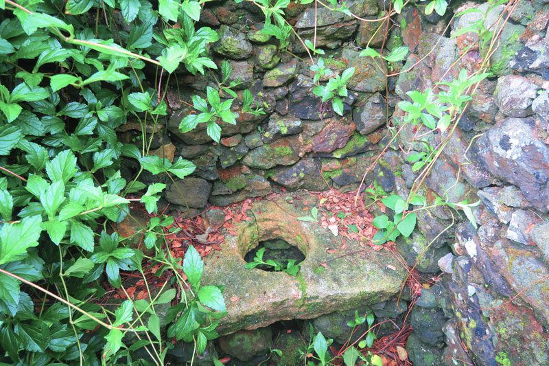
Now overrun by vegetation, exploring the Rouru Convent is an eerie experience, especially for those slightly familiar with the history of the Gambiers. It is a testimony to both the good and the bad brought about by the French Catholic missionaries.
Path of the 12 Apostles
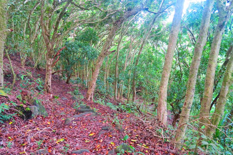
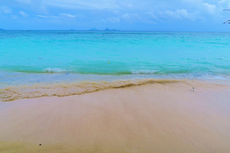
About 500 meters past the edge of the Rouru Convent, a sign on the left points in the general direction of the lagoon via the Path of the 12 Apostles (Chemin des 12 Apotres). This is one of the cobblestone paths commissioned by Laval, bending 12 times through a beautiful forest down to the beach. It’s only worth heading down if it’s low tide since there is not much beach left when the tide is high.
Aukena
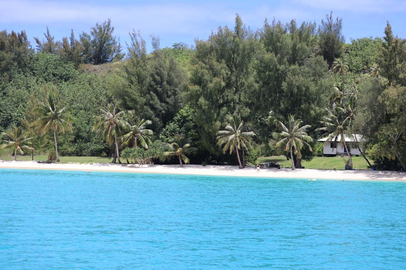
Located about 5 km southeast of Mangareva, Aukena measures 2.5 km in length and 0.5 km in width with a total area of just 1.35 km². About 40 people live on this island and much of the island’s land (if not all) is privately owned.
St Raphael Church
Built from coral stone. This is the first Catholic stone church in the entire Pacific. It was inaugurated in 1839 (nine years prior to St Michal’s) and rebuilt in 1944. Reaching this beautiful church is a bit tricky as access is via a long path perpendicular to the beach that is on private land.
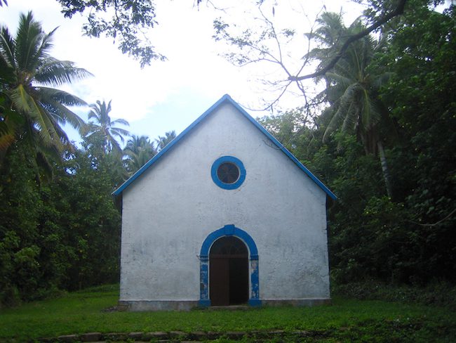
Watchtower
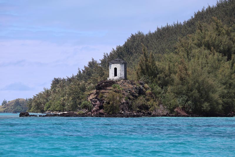
The octagonal-shaped watchtower is clearly visible from the lagoon and is currently used by sailors as a landmark, aiding the entry into the lagoon. It was built in 1850 and has a front door and three windows that offer panoramic views of the lagoon.
Tai O Ra’a Beach
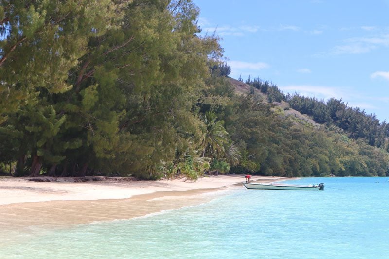
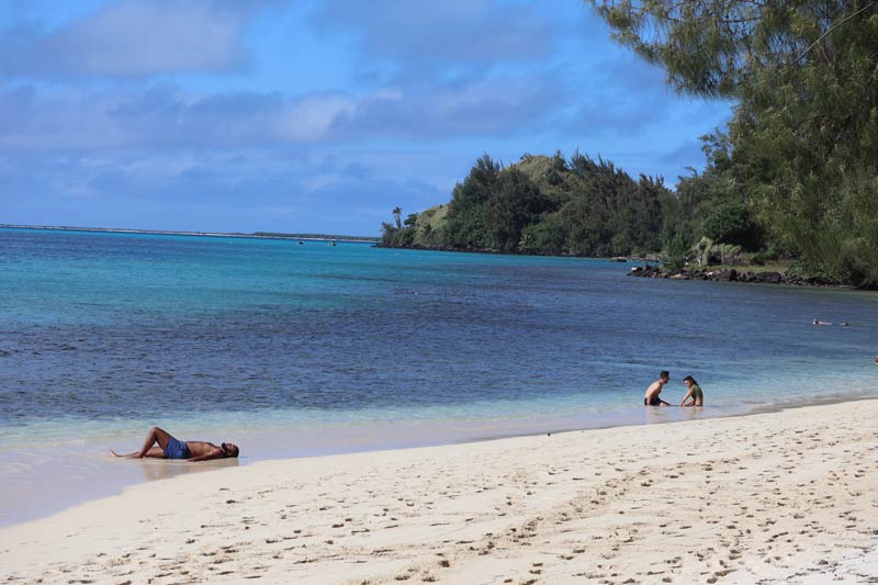
Just off the main pier and close to the path leading to the Robert Wan Pearl Farm, this is considered one of the most beautiful beaches in French Polynesia. Surprisingly, the snorkeling here was quite rewarding but you’ll need to swim about 200 meters away from the beach. You’ll find a few huge patches of coral just before the reef drops and, if you’re lucky, even large stingrays.
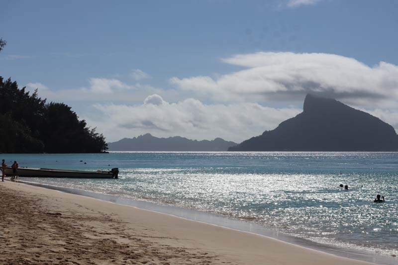
Lookout Point
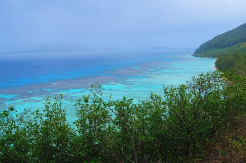
On the way to the Robert Wan Pearl Farm, a road rises to the highest point in Aukena before dropping to a quiet settlement on the other side of the lagoon. On a sunny day, the colors of the lagoon from up here are spectacular.
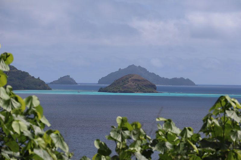
Robert Wan Pearl Farm
Considered to be the ‘father’ of the black pearl industry in French Polynesia, Robert Wan operates a number of working pearl farms on the islands, one of which is right here. You can tour the center where the sorting and grafting take place and learn firsthand about the delicate process that eventually might lead to the development of a commercial black pearl. It really feels like a McDonald’s kitchen here, with everyone knowing their exact role and daily quota.
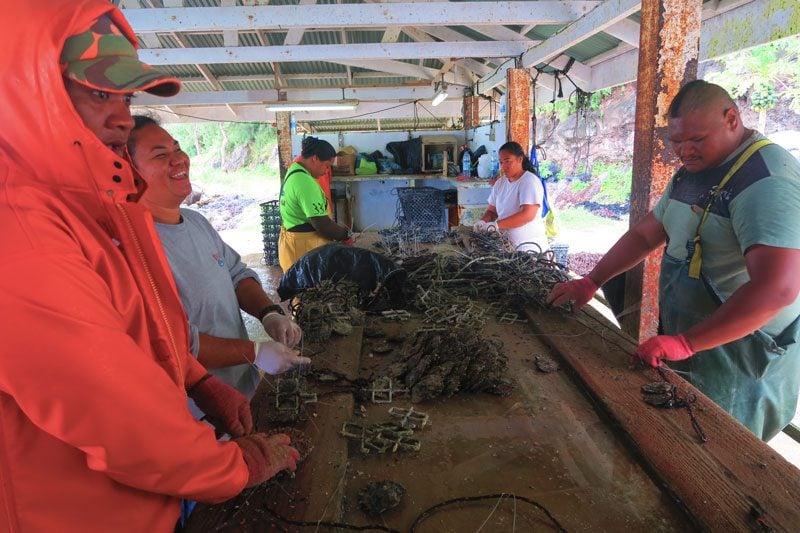
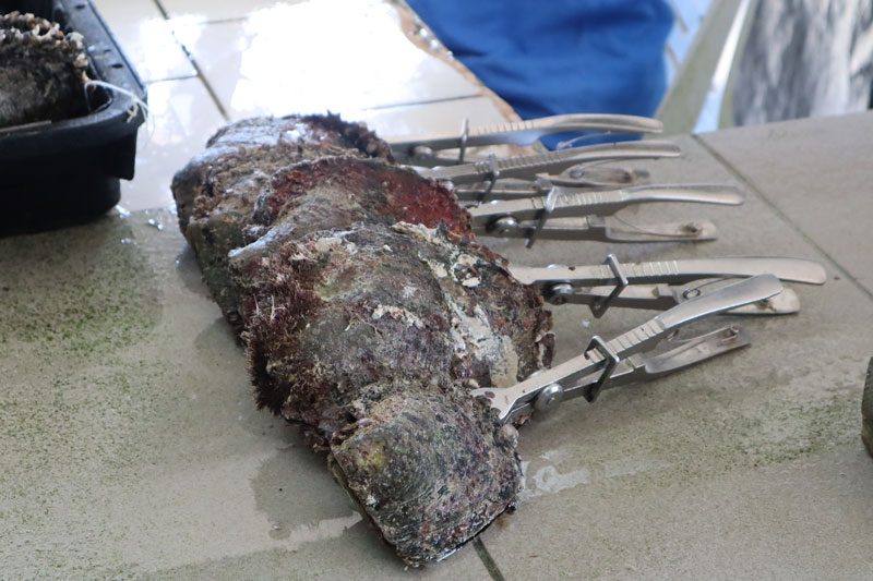
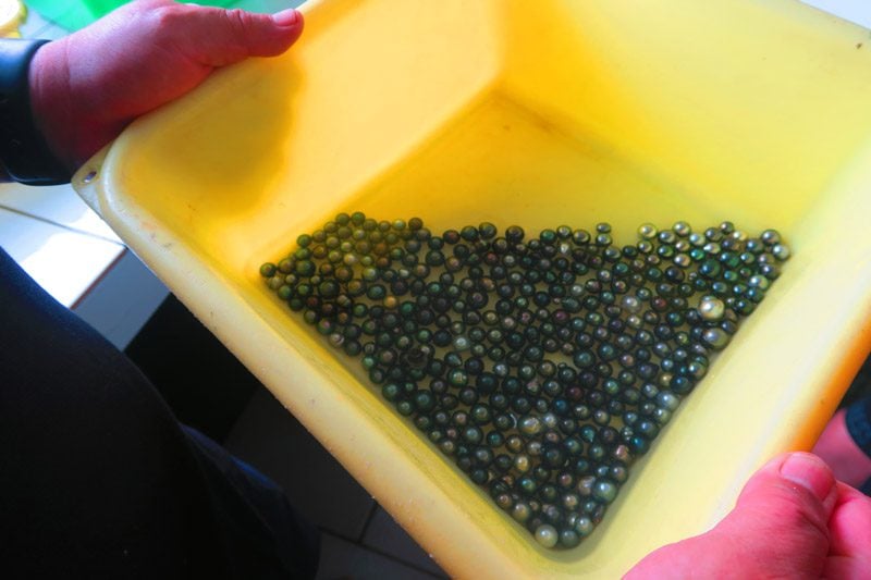
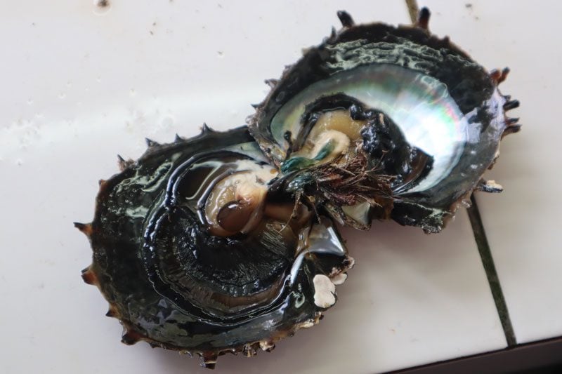
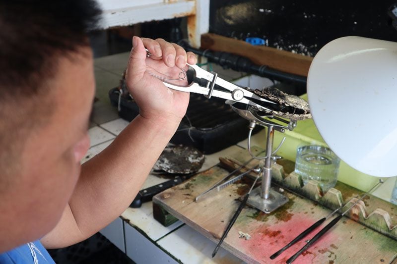
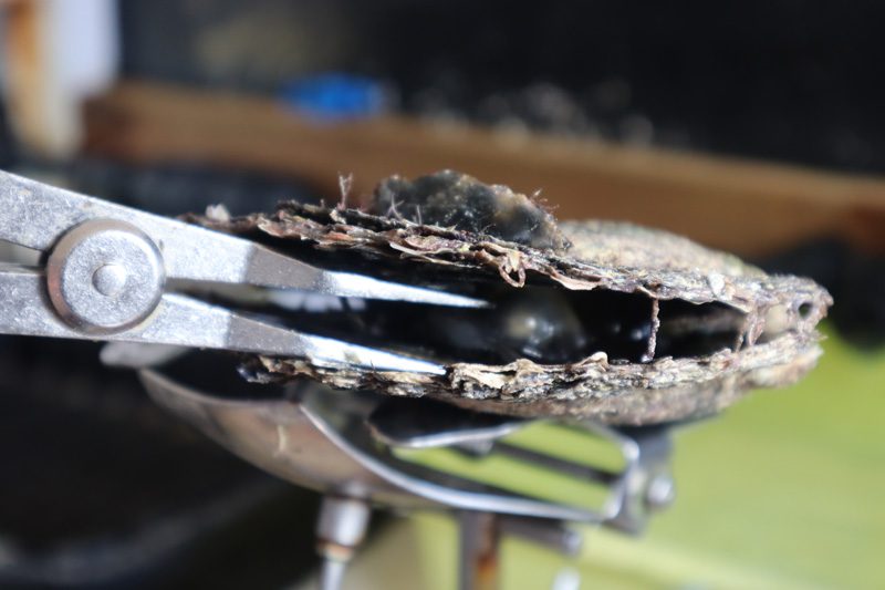
Tours are in French only but if your visit is part of a cruise, English translation will be arranged. The farm operates a small shop by the beach and pier where pearls of all quality are sold (credit cards accepted). Visitors to the center often leave with a gift in the form of a complete shell that will no longer produce any pearls.
Taravai
Taravai is the second-largest island in the group with a total size of nearly 6 km². At the time of the arrival of the missionaries, Taravai had a major settlement and contained many temples. These days, it is home to less than 20 residents.
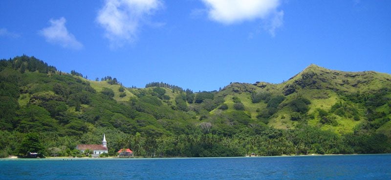
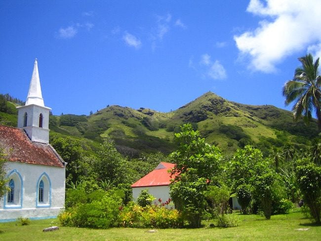
Church of Sainte Gabriel
This is one of the most beautiful churches in the Gambier Islands. Fashioned in Gothic style, it was built in 1868 and replaced an existing church that could no longer be used.
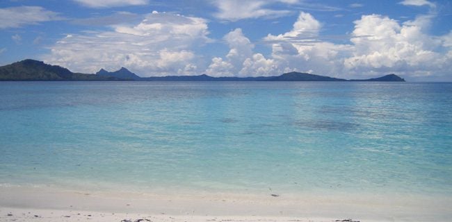
Onomea Beach
Over on the east coast of the island, the beach is accessible only via the sea.
Akamaru
Akamaru is the third largest island in the archipelago, totaling nearly 2.5 km². It is the site of the first Christian mass held by Laval in 1834. At present, it is home to about 20 residents.
Notre-Dame de la Paix
The Church of Our Lady of Peace is another beautiful structure. Built in 1844, two towers were later added in 1862 though they are not fully symmetrical (by intention as Laval claimed). On the left of the church’s altar, there is a metal statue of the Virgin adorned by a black pearl necklace. As part of a July pilgrimage, this statue is taken to Saint Michael’s Cathedral in Rikitea and brought back to Akamaru a few weeks later.
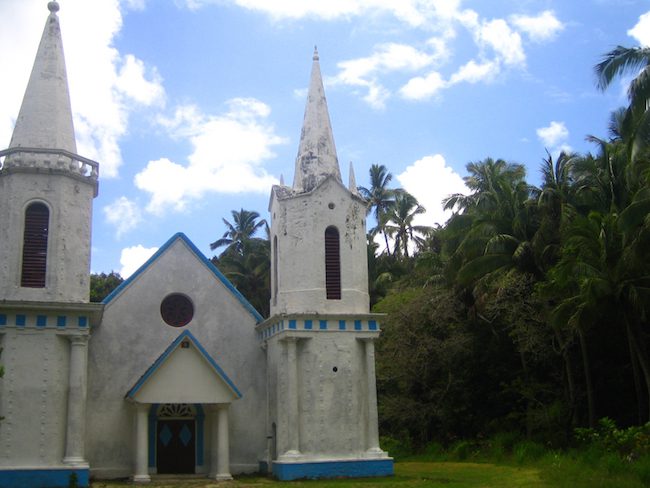
Royal Alley
A grassy path lined with palm trees leads from the pier to the church.
Shark Cave
In a rocky area accessible only by boat on the southeastern side of the island there is a large opening in the coastline where many sharks can be seen.
Temoe Atoll
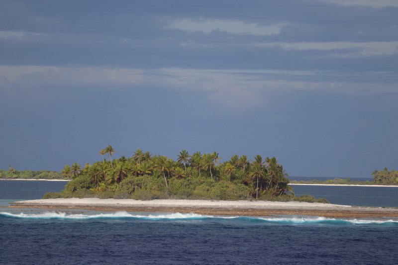
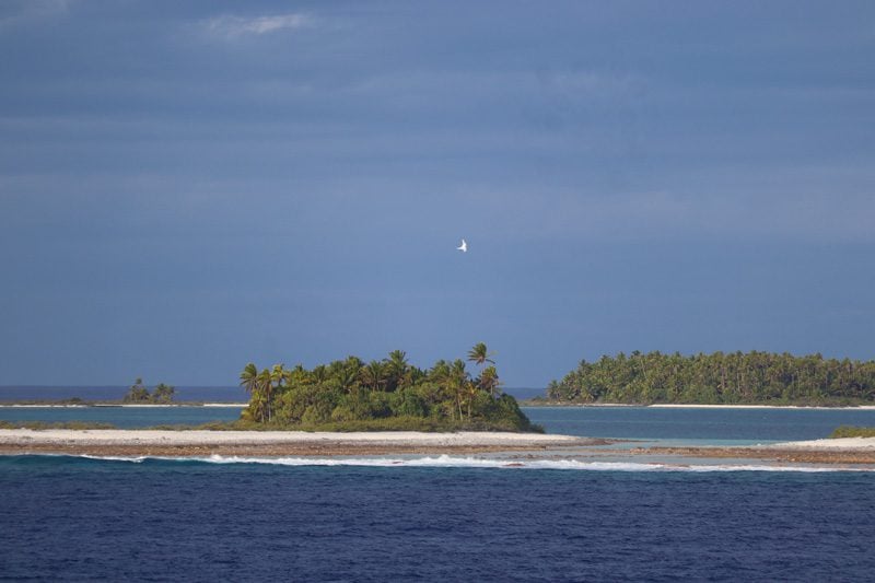
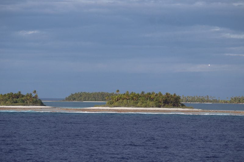
Temoe lies about 40 kilometers southeast of Mangareva and has been uninhabited since 1836 when Christian missionaries moved the entire population to Mangareva to assist in the mega-construction projects. Since there is no natural entrance into its lagoon, even locals rarely visit Temoe these days. On rare occasions, an experienced fisherman will arrive and time his entrance according to the tides and wave patterns. On the beaches of the lonely atoll, the remains of a number of ancient Polynesian temples can still be spotted, together with Mangareva’s Mount Duff in the far distance.
What’s Next?
I hope you found this Gambier Islands travel guide useful. Plan your trip to French Polynesia and the South Pacific with these companion travel guides.
Tahiti, Tailor Made!
The Islands of Tahiti are among the last places to be colonized by mankind, 118 islands, each with its unique personality.
Get expert advice and assistance with planning your trip to the destination where tropical dreams come true!
Pin These Images To Your Favorite Boards
