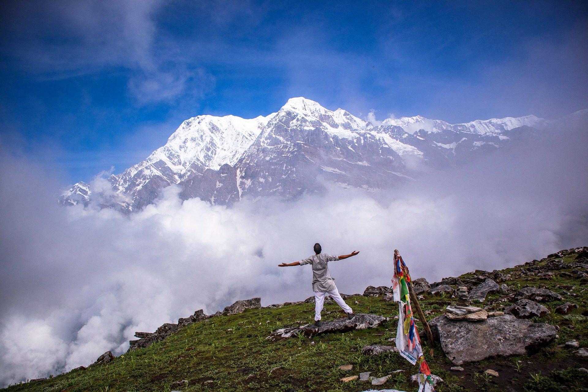
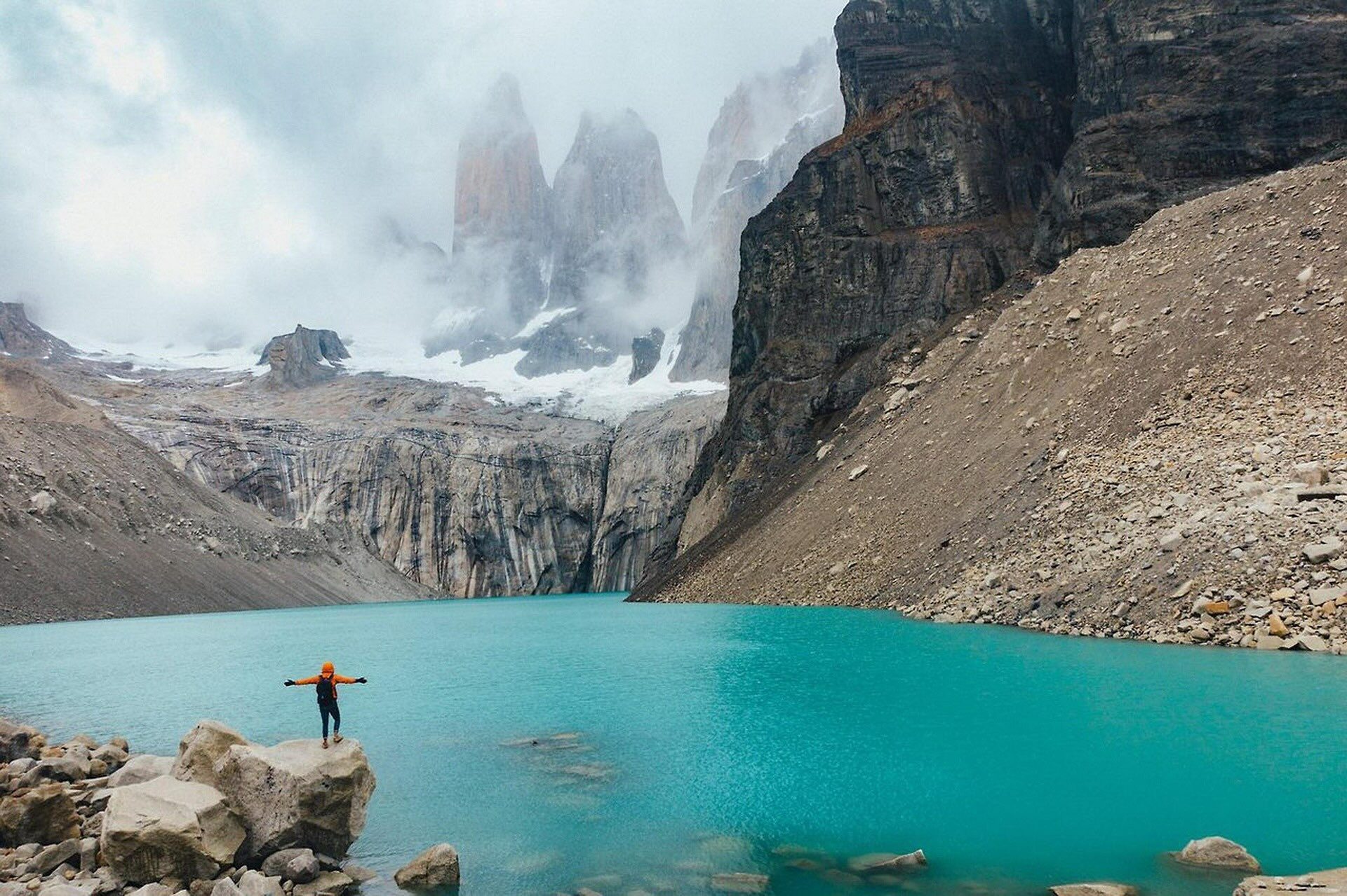
A Voyage from Tahiti to Easter Island
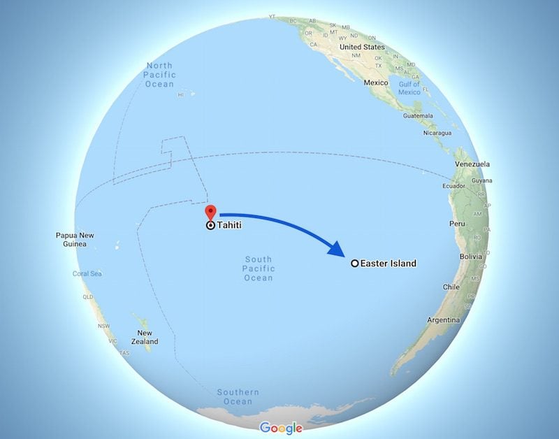
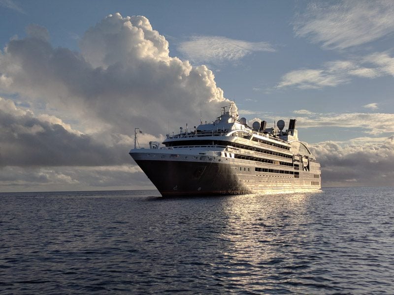
In October 2018, I set out with a group of twenty-five travelers on a 4,534 km journey to explore the far reaches of the Polynesian Triangle. The journey from Tahiti to Easter Island aboard the luxury Ponant ship L’Austral would take us to some of the most remote islands in the South Pacific. Many of our stops would take us to the “mysterious islands” of Polynesia, islands whose past is little known and whose future is unclear. In this special post, I’ll share with you images from that special voyage.
Heading to French Polynesia? In-depth island guides to all 5 archipelagos await you, including sample itineraries and essential travel tips & tricks.
Tahiti, Tailor Made!
The Islands of Tahiti are among the last places to be colonized by mankind, 118 islands, each with its unique personality.
Get expert advice and assistance with planning your trip to the destination where tropical dreams come true!
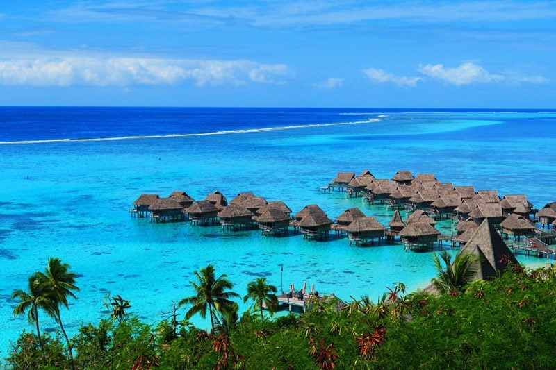
Tahiti
A member of the Society Islands – one of French Polynesia’s five archipelagos – Tahiti is the largest island in the French territory and home to its capital city – Papeete. Tahiti actually consists of two “islands” joined together in a narrow isthmus – the larger Tahiti Nui (“Big” Tahiti) and Tahiti Iti (“Little” Tahiti). This gives the island the shape of a figure-eight when viewed from space.
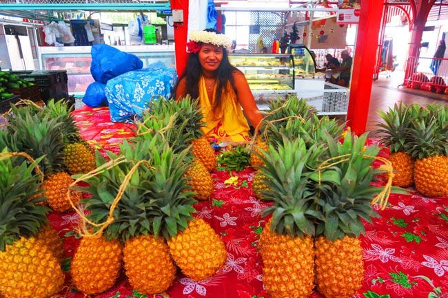
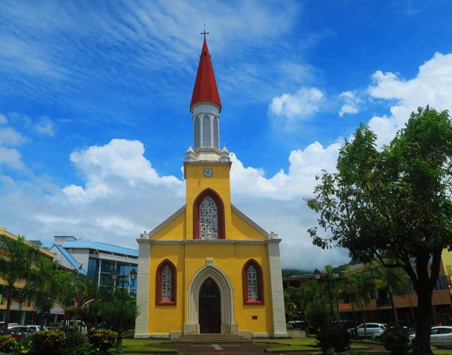
Our visit began with a walking tour of Papeete, exploring its colonial-style buildings and its famous central market. The streets leading to the market are always busy and it’s not uncommon for locals to get together and play some traditional music in order to lift spirits up and earn a few extra Pacific Francs. “Metropolitan” Papeete is home to approximately 125,000 residents (65% of the island’s population). It is the only “real city” in French Polynesia and as such, has its pros and cons, even in paradise.
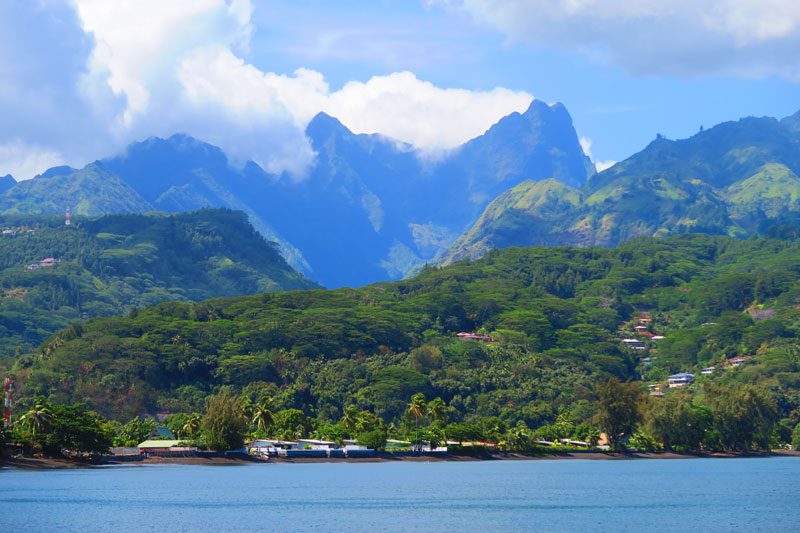
Leaving the city behind, we set out on a circle-island tour around Tahiti Nui. The scenery quickly changes from that of concrete buildings to lush tropical vegetation, homes with neatly arranged gardens and wild coastal scenery, especially on the east coast of the island. In Matavai Bay, we paused for a scenic lookout over this historical spot. Matavai Bay was a favorite anchorage for early Western visitors, including Captain Cook and Christian missionaries.
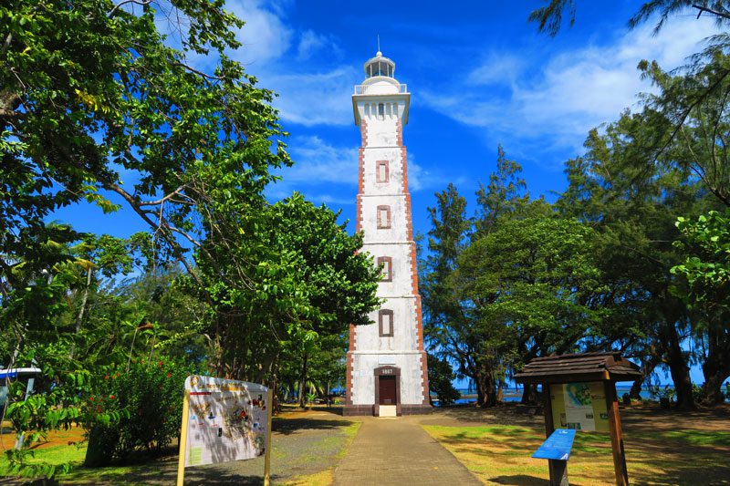
At the tip of the bay, in what is known as Point Venus, a lighthouse was erected to commemorate Cook’s scientific voyage to Tahiti in 1769 to record the transit of the planet Venus across the sun.
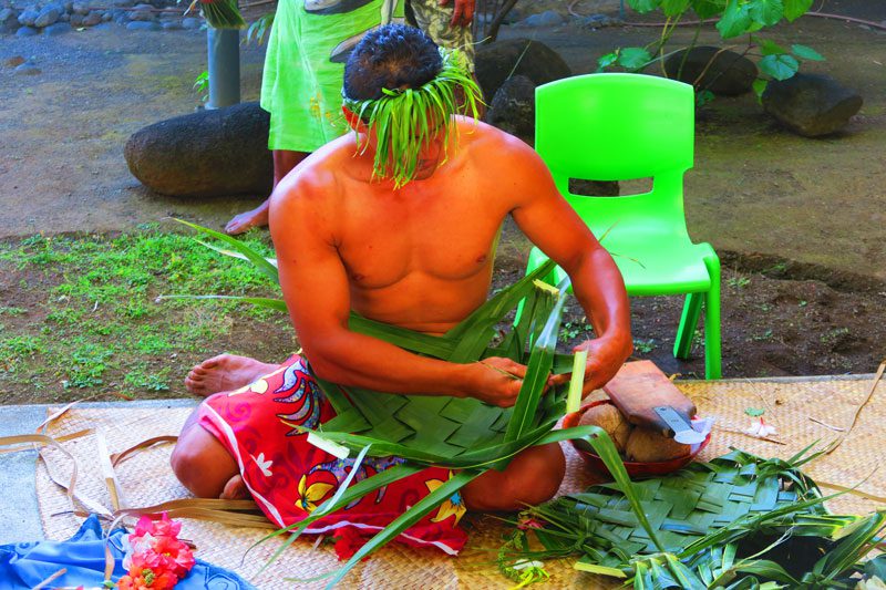
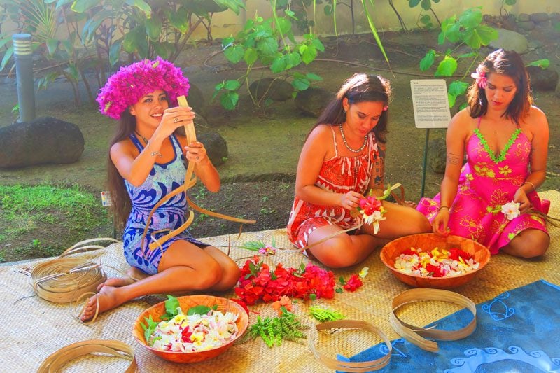
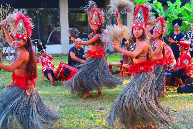
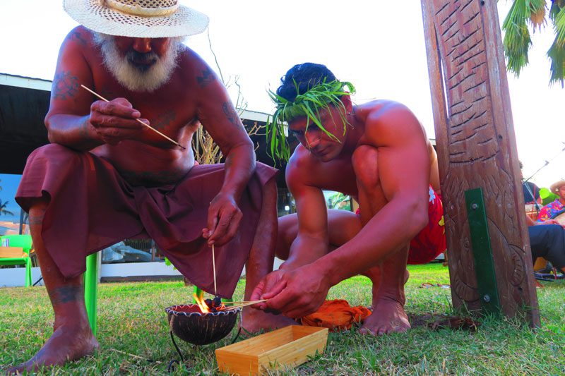
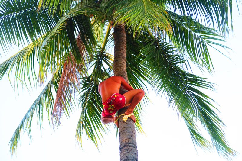
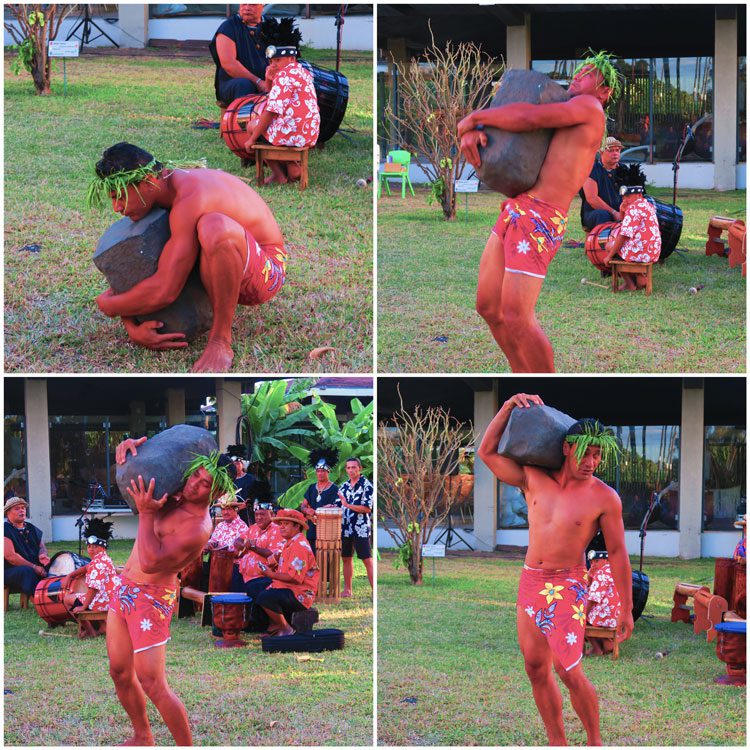
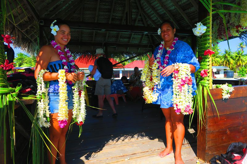
On the west coast of Tahiti Nui at the Museum of Tahiti and Her Islands, we met Teuai Olivier Lenoir and his dance group. Lenoir is a “living legend” in Tahiti and a respected tour guide. He’s a former two-time winner of the “Mr. Tahiti” competition, an expert in traditional culture and dance, and a choreographer of a dance group in the July Heiva Festival. We spent the afternoon with Lenoir’s group on a “mini boot camp”, learning the ins and outs of weaving flower necklaces, making tapa cloth and stone lifting. The highlight was, without a doubt, a dance performance by the exotic local group.
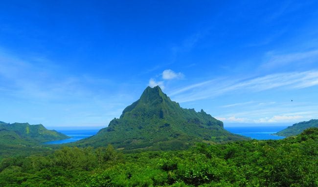
Moorea
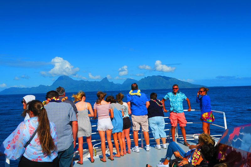
Though just a few miles off the coast of Tahiti, the vibe in Moorea is completely different. It’s the main reason why I chose to spend over a month in Moorea during my first visit to French Polynesia. When viewed from the air, Moorea takes on the shape of a heart, thanks to its twin bays on the northern coast. We set out to circle the island while pausing to soak the beautiful scenery along the way.
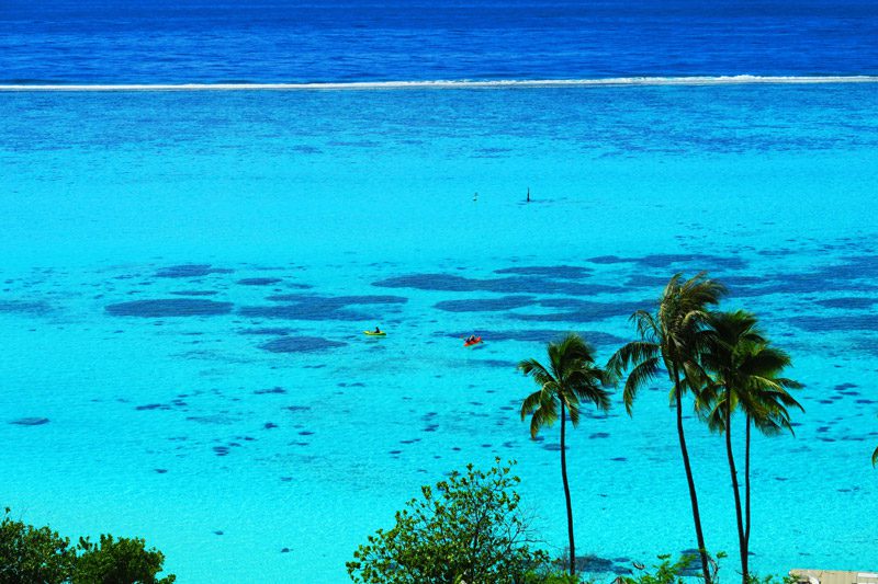
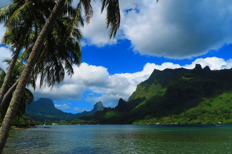
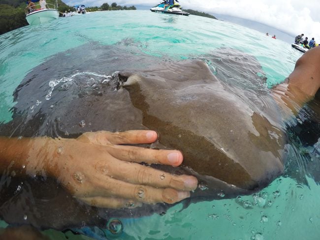
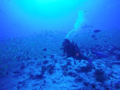
Unlike Tahiti, Moorea has a large lagoon and this is an opportunity to get up close and personal with stingrays and even with reef sharks which are known to coexist peacefully with mankind… at least on this island, we were told.
Fakarava
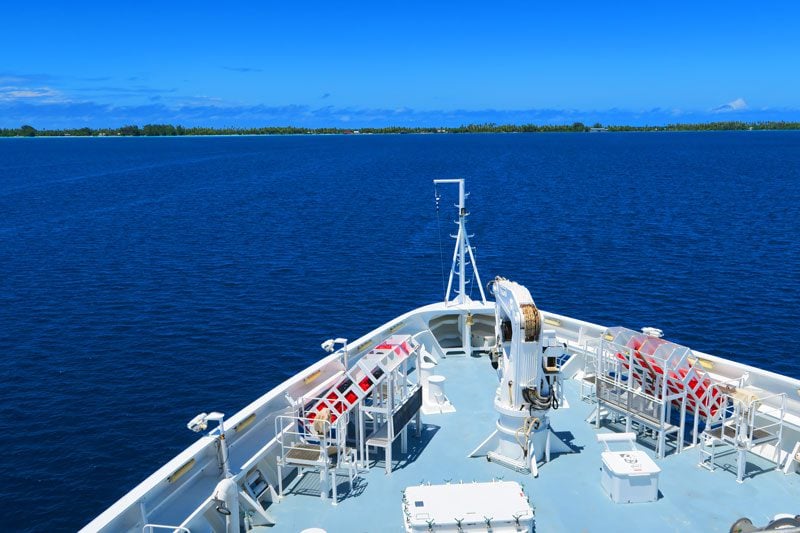
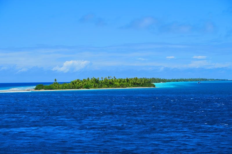
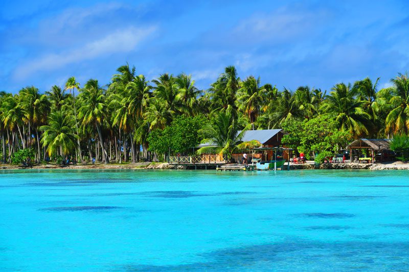
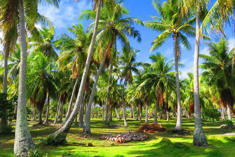
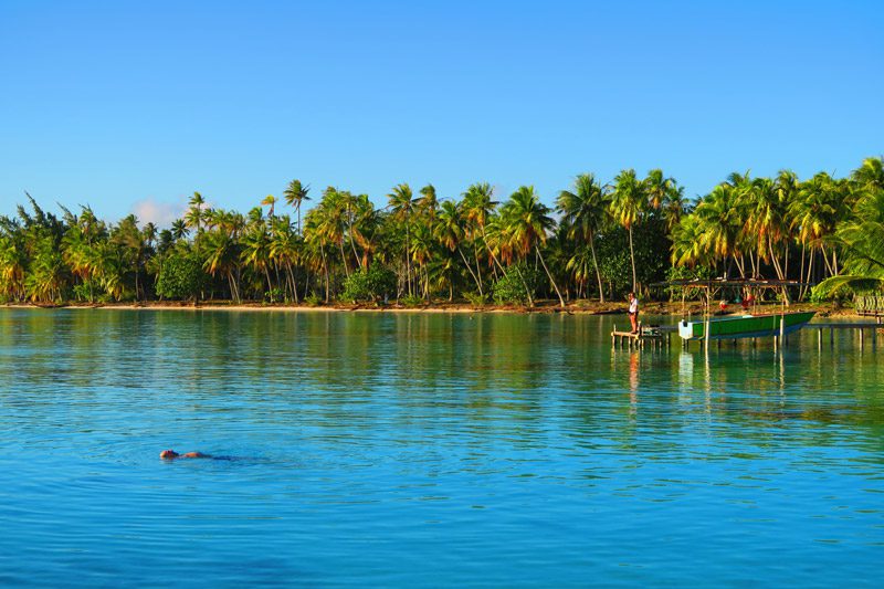
Back in Tahiti, we boarded our luxury cruise ship – L’Austral – and set out on an overnight cruise spanning 460 km to the Tuamotu archipelago and the Fakarava Atoll. The Tuamotus form the largest chain of coral atolls in the world, tiny slivers of land where coconut trees dominate the skyline and where most of the action takes place underwater. Most atolls have an opening in the barrier reef – known as a pass – and these enable ships and boats to enter the protective lagoon.
With the help of zodiacs, we made it to the beach belonging to Pension Veke Veke for an afternoon of snorkeling in the coral garden and some relaxation.
Gambier Islands
From Fakarava, it was a two-day 1,400 km cruise east to French Polynesia’s seldom visited Gambier Islands archipelago. The Gambier Islands are home to 1,500 residents and consist of 14 islands, most of which share a common lagoon.
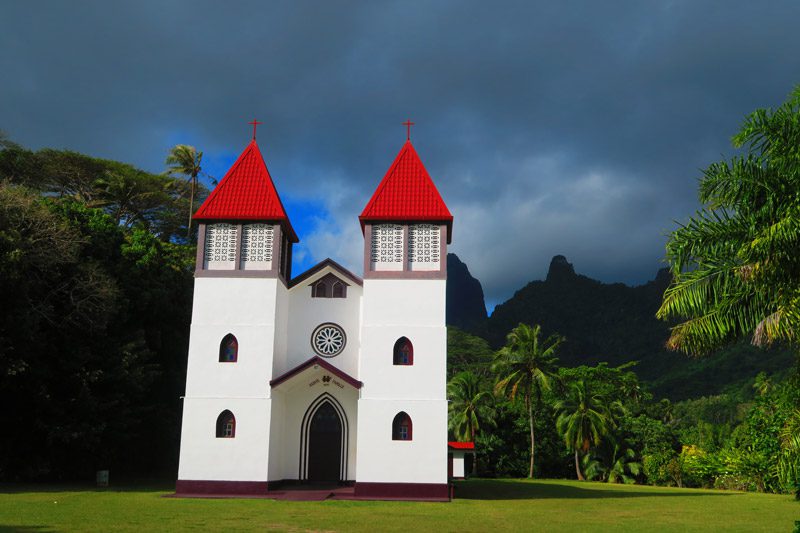
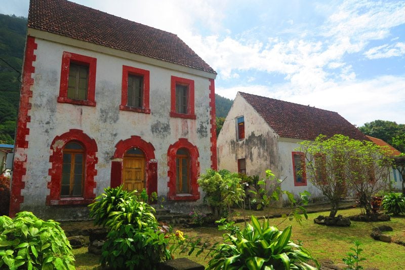
The islands are known as the “cradle of Catholicism” in French Polynesia. In 1834, a French Catholic mission was established in the archipelago led by Honore Laval. With a ton of charisma, courage, and persistence, Laval won over the hearts of the local king and converted the entire archipelago to Catholicism. However, that wasn’t enough for Laval and he set out on a megalomaniac construction plan to erect mega-churches, palaces, convents, and other out-of-place buildings in the tropics. During the construction, many locals died but the surviving structures are a testament to the archipelago’s dark past.
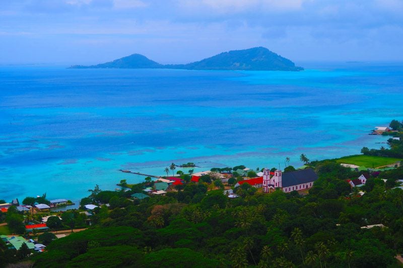
Mangareva
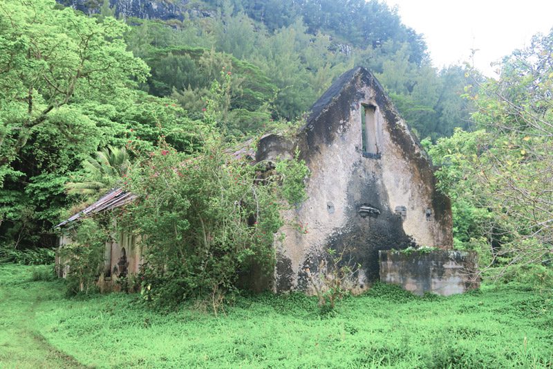
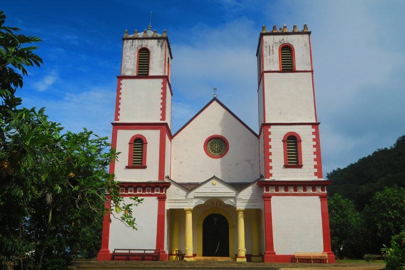
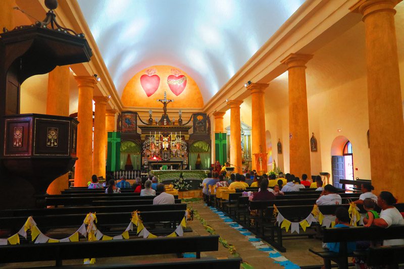
Our visit started in Mangareva – the largest island in the Gambier group and home to Rikitea – its capital. Rikitea is just a tiny village but it houses many Laval monuments, such as churches and the ruins of the Rouru Convent which once housed 150 girls and nuns.
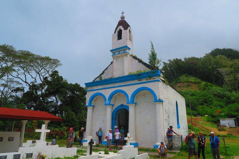
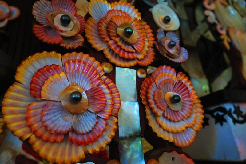
Of all Laval-era monuments, none are more striking than the grand St Michael’s Cathedral which can seat more worshippers than the island can supply. The cathedral’s altar is world-renowned for its decorative use of mother-of-pearl shells and black pearls.
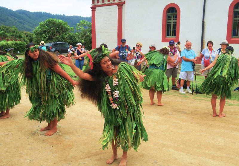
Beneath the shade of a large breadfruit tree, a local band of women accompanied by drummers performed the traditional Mangarevan dance known as pe-i.
Aukena
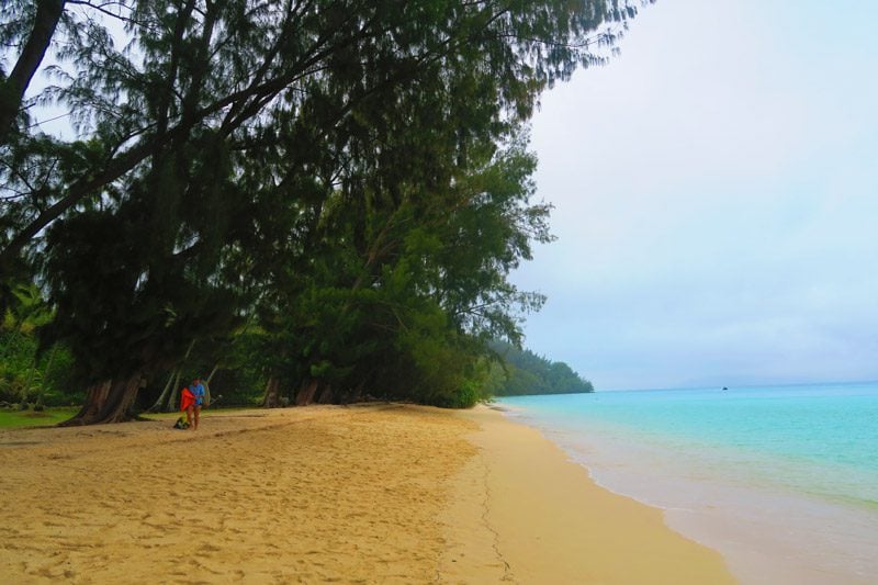
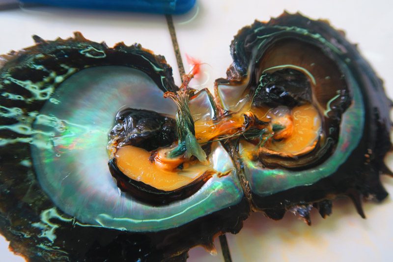
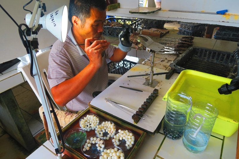
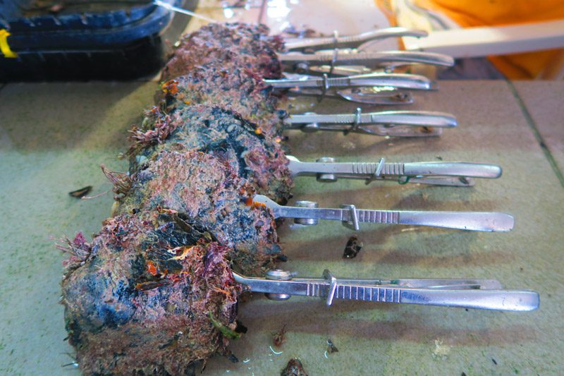
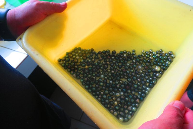
The next (rainy) morning, we landed on a beautiful golden sand beach on the neighboring island of Aukena to learn about the production of the black pearl – French Polynesia’s prime export.
Aukena is home to one of Robert Wan’s main black pearl farms. Wan is considered the “father” of the black pearl industry in the French territory. Wan’s farms produce some of the finest black pearls in the world and on this factory visit, we experienced firsthand how a delicate (and long) process results in oysters yielding exquisite black pearls.
Temoe Atoll
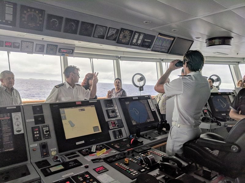
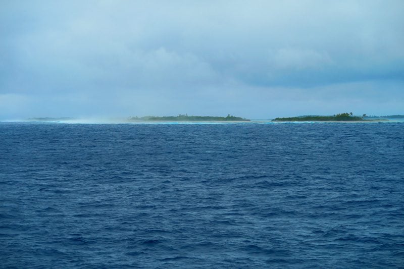
Exiting the comforts of the lagoon, we began a 550 km journey east to Pitcairn Island. Before officially bidding farewell to French Polynesia, we passed by the lonely Temoe Atoll from a commanding view on the ship’s bridge as the Captain showed us around. Temoe technically belongs to the Gambier Islands and it was formerly inhabited by Polynesians until Christian missionaries “encouraged” them to relocate to Mangareva to aid in the Laval construction project.
The journey continues on the next page of this post!